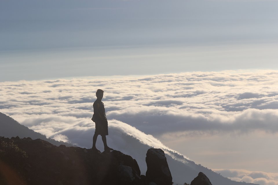
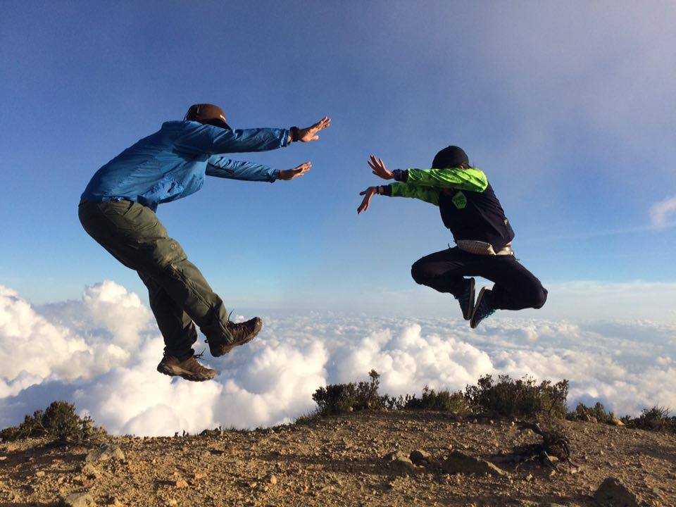
Quantcast
Channel: Pinoy Mountaineer
Viewing all 610 articles
Browse latest View live

Tips for submitting outdoor/hiking photos

$
0
0
12722077_747619635367990_59306217_n
by Gideon Lasco

Let me begin this piece by saying that I greatly appreciate all the photos that hikers send me. Especially when I’m abroad it’s nice to see the familiar sights of our beloved mountains back home. However, I also ask you to bear with me: given that I receive around 50 photos every day, I can only post a limited number of them. To be honest, it is when I have nothing to do (like when I’m riding a train) that I look at these photos and post some of them. My Facebook page is still largely a personal account. Someday I can appoint someone to manage my social media but then it will lose the authenticity, so for now, I hope you understand if you get “seenzoned” i.e. I don’t get to reply to your messages.

Here are some tips for people who want to get their photos shared in my Facebook page and I think this also applies to other websites and pages:

First, go for uniqueness. Everyday I get photos of Pulag, Pico de Loro and Maculot, and I’ve also climbed these mountains many times so I’m not likely to post them unless they’re exceptionally beautiful.  What may be a new mountain for you may not be new for the mountaineering community. What may be a new and dramatic pose for you is a pose that’s been done by many others (and I also don’t encourage poses that look too dangerous). Importantly, we want to #SpreadTheImpact and encourage others to pursue other destinations so I’m not likely to post pictures of popular mountains like Pulag, Ulap, Batulao, Hapunang Banoi.

However, there are other ways to be unique: If it’s a 100-year old man who climbs Maculot that’s something unique and I can still feature it.

Second, go for the overlooked aspects of hiking. Pictures of trails, wildlife, a nice shot of someone cooking, photos of guides – these are all part of the experience. Hiking is not just about the summit. It’s about emotions – unguarded moments of triumph, of fear, of excitement, anxiety, boredom (while waiting for the jeepney), and laughter (when someone makes a joke).Third, posing before the camera is nice, but action shots are better. For our personal pages, we all want our faces highlighted, but if your aim is to show the mountains – not yourself – sometimes you will have to be part of the background. Smiling in front of camera is nice, but it is the unguarded moments of joy amid the breathtaking sights that’s really captivating.

Fourth, the resolution of your photos should be good enough. What may look good in mobile phones may look pixelated or blurry in desktops, and you should keep this in mind as well. For PM Facebook, a dimension of at least 960 x 640 is good enough; at least 1200 x 900 is better.

Finally, don’t over-edit your photos. Personally, I think it’s fine to adjust the basic settings and resize them, but sometimes editing your photos and adding filters can make it look unrealistic. Don’t make the view more than how you saw it. The mountains are like Liza Soberano: they are beautiful even without make-up.

Photo courtesy of Novemark Alozo in Mt. Apo.

The post Tips for submitting outdoor/hiking photos appeared first on Pinoy Mountaineer.


Ten mountains not named Pulag where you can catch the sea of clouds

$
0
0
12767930_1108516522503947_2112416432_o
Mt. Binacayan by Jheanny Josafat

As the peak season of hiking approaches we want to encourage hikers to #SpreadTheImpact by going to lesser-known but no less beautiful places. And while Mt. Pulag is famous for its ‘sea of clouds’, you can actually catch beautiful cloud formations in many other mountains in the Philippines. Here are some examples:

1-3 Mts. Binacayan, Pamitinan, and Hapunang Banoi
Rodriguez, Rizal (see itineraries here and here)

12311613_1710852075797949_867323305_o
Mt. Hapunang Banoi by Darlino Legaspi

4 Mt. Batulusong
Tanay, Rizal (see itinerary here)

12736401_10206744758115706_1551113073_n
Mt. Batolusong by Ericka Bautista
12736886_10206744758275710_501215741_o
Mt. Batolusong by Ericka Bautista

5 Mt. Amuyao
Barlig, Mountain Province (see itinerary here)

12789873_10204617118227301_1584499990_o
Mt. Amuyao by Arnel Domingo


12659795_728572217279724_415950881_n
Mt. Amuyao by Jonvic Evangelista

6 Mt. Kemalugong
Laur, Nueva Ecija (See trip report here. Note: this mountain is currently closed)

12576138_1133396953339988_2138270258_n
Mt. Kemalugong by Marty Cellona

7 Mt. Apo
Davao and North Cotabato (see itinerary here)

12722077_747619635367990_59306217_n
Mt. Apo by Novemark Alozo


12735934_10205596445853433_625764651_n
Mt. Apo by Mia S. Florida

8 Mt. Kitanglad
Bukidnon (see itinerary here)

12659643_1061951793825826_1323647032_n
Mt. Kitanglad by Jayce Silaga

9 Mt Natib
Bataan (see itinerary here)

12788250_10206089250778579_672644242_n
Mt. Natib by Edwin Cuartero

10 Mt. Tenglawan
Bakun, Benguet (see itinerary here)

12790835_10153423725363596_656043083389468046_n
Mt. Tenglawan by Ramel Ng

NOTE:
As in Mt. Pulag, there is no guarantee that you can see sea of clouds in these mountains. Usually, the best chances are during sunrise, or very early morning.

The post Ten mountains not named Pulag where you can catch the sea of clouds appeared first on Pinoy Mountaineer.

Trip Report: 5-day hike of Hong Kong’s 100 km Maclehose Trail

$
0
0

12833387_10153564607202862_1656239396_n
Blogger’s note: In the spirit of encouraging hikers to explore more of the Philippines and share their experiences in other countries, we welcome “trip reports” like this one! Just share the following (1) General Itinerary (short description lang of each day, jump off points, and/or sequence of the mountains); (2) Team leader/s (3) Participants (4) Guides (5) What inspired you to do the particular? (6) What are the highlights of the trip? (7) How do you feel about the experience? And email them to news@pinoymountaineer.com.

Maclehose Trail 100km
Location: Hong Kong

Participants: Dwight Lu (TL and author of this account), Terence Go

Date of Hike: January 2014 (5 days)

ITINERARY

Day 1

Stage 1 or (Stage 1-2 if you start early. I recommend this)
– arrive Hong Kong and head off to Mong Kok and buy fuel canisters and denatured alcohol
– get in bus at diamond hill train station and go to Sai Kung.
– once at Sai Kung, get on a bus going to Pak Tam Au.
– once at Pak Tam Chung, find the Maclehose trail starting point.
– start hiking
Stage 2 is distance post 020
(If you start early, maybe you could reach the beautiful campsite on a white sand beach with pine trees and water source, Long Ke Wan Campsite(Mile Marker 021), if not, there is a campsite about half way from starting point going to the beach on the right side (Nam Fung Wan Campsite less than 5km from starting point.)

Day 2

– Just keep following the trail until you arrive at a small village (Sai Wan around distance post 31).(closed 2014 but i dont know it it has reopened now)
We just went around the fence and talked with the villagers and they were friendly
– we camped on a rocky out cropping along the shore here. They have surfing resorts here and you can buy food and drinks

Day 3

Stage 2-3

Walk along the shore with the sea to the right. You will see that the trail will go up a hill
Once you get elevation on this hill and start to walk down the other side, you see a beautiful view of Long Ke Wan and Sharp Peak at distance post 35
You will be following the trail to the beach (Long Ke Wan) and will lead to back in to the forest
Follow the concrete trail until you reach and abandoned village (Chek Keng distance post 43)
There will be a public toilet at the starting point of stage 3, distance post 48.
You will get a good view of where you walked the past 2 days and Ma On Shan going up stage 3 at distance post 51.
Camp site is at distance post 055. Water is available

Day 4
Stage 3-4 (Walk to Ma On Shan)

Continue on along the tail. When you hit distance post 073, there will be a small bamboo forest with hundreds of birds chirping hiding in the bamboo.

Beautiful photos of sunsets around distance post 078
Campsite is at distance post 082. No water

Day 5
Stage 4-5

There is a small stream that you can get water from at distance post 093. we continued our hike and ended at distance post 101 because we were quite tired and running out of supplies. This is just a little bit into stage 5

At distance post 101, there is the famous Sha Tin Pass Noodle shop where many pictures of celebrities are posted. We ended our hike here with a bowl of freshly cooked noodles and a bottle of beer for lunch.
We walked down to Choi Hung MTR Station and ended our trip.

What inspired you to do the particular hike?

I was at an outdoor shop and asked about hiking in Hong Kong I was told that there were many hiking trails and was shown a book. I looked through the book and the Maclehose trail caught my attention because it is 100km long! I have only been on short overnight hikes. So i researched more and bought a book named The Serious Hiker’s Guide to Hong Kong. I read that the Maclehose is the most beautiful and scenic trail in Hong Kong, so I told my hiking buddy, Terence Go, about this and he is also up to it. The next time I went to Hong Kong (I go to Hong Kong several times a year for my dad to get treatment and check up because he was diagnosed with liver cancer in 2011), I bought maps for the Maclehose trail and searched for stores where I can buy butane canisters and denatured alcohol for my stove. Thats how I prepared for this trip.

What are the highlights of the trip?

The best part of this trip is the scenery. Its just so beautiful in the Hong Kong country side. The beaches have beautiful white sand with pine trees and blue waters. The mountains are beautiful too especially during sunset. Everyday we saw beautiful scenery.

How do you feel about the experience?

This experience makes me want to do it again, but i still have to checkout the next half of the Maclehose trail. I bet it will be very nice also. I plan to do the whole 100km in one trip next time. I think it will take around 10 days.

How can others do the same or similar trip?

Anyone can do this trip. It is very easy to do. There are no permits involved and campsites are first come first served and free. We brought our food from Cebu so that we no longer have to buy them in Hong Kong. We took an early flight from Cebu so that we could start walking on the day we arrived. Spending one night to sort things out and starting early the next day is also a good option.

MACLEHOSE TRAIL PICTURES

12422280_10153564580622862_920875103_o
The very start of the trail!
12380352_10153564598452862_1664831844_n
First campsite
10660748_10153564636462862_1698708899_n
The trails are marked with these signs every 500 meters
12528136_10153564612392862_596156872_n
The author with his companion Terence Go
702919_10153564611877862_1036855565_n
Third campsite

The post Trip Report: 5-day hike of Hong Kong’s 100 km Maclehose Trail appeared first on Pinoy Mountaineer.

(UPDATED 2) Mountain News: Mt. Apo is burning. Here’s how mountaineers can help in Mt. Apo fire.

$
0
0
12899696_10154672678904622_1552466495_n
Photo courtesy of Ryan Mark Asturias

Note: This is a developing story. Please contact news@pinoymountaineer.com if you have updates or further information.

Update (3/28/2016): We are getting reports that the Mt. Apo fire has been contained in the Kidapawan side, but it’s still threatening the Davao side, including Mt. Talomo. Meanwhile LGUs including that of Davao City are mobilizing.

ORIGINAL POST: 

On Black Saturday, March 26, 2016, a massive fire that apparently started from the summit campsite of Mt. Apo has “totally burned the summit” and is “moving from summit down to Lake Venado and Talomo – Davao City side”, according to according to comments from Jake Caspi, one of the first responders from the municipality Sta. Cruz. Others hikers who were on Lake Venado at the time reported seeing a huge flame engulf the summit “like a torch”, prompting them to evacuate the mountain.

An Inquirer report states that over 100 hectares of forest has been affected by the fire as of Sunday, and it is threatening to spread in various sides of the mountain. Caspi, also on Sunday, reported that responders were “ground to a halt at the Boulders” because the trail is still on fire.

Mountaineers have expressed dismay over the incident, which will certainly rank as one of the most devastating forest fires in recent mountaineering history.

“Alam ng dry spell ngaun bakit pina akyat pa meron sana control measures ginawa ang local tourism office to check first the area if fire hazard na ang location. Tsk tsk naka ligtaan ang practice ng due diligence,” one commenter said, while many others called for an investigation – and justice for whoever may be at fault. Though there is no definitive finding as to the cause of the fire, its having originated from the summit campsite points to a probable human cause. The fact that the mountain has been very dry due to the El Niño phenomenon has, in any case, set the conditions of possibility for this incident, and will surely raise questions of regulation – and whether vulnerable mountains should remain open if the risk of a forest fire is very high.

How mountaineers can help in fighting Mt. Apo fire

Mountaineer Dave Leydan, whose father Darrio Leydan is with DENR-Kidapawan, is calling for mountaineers to volunteer in fighting the fire in Mt. Apo. The goal is to make a fire line by cutting a perimeter of grass beyond which the fire will not be able to advance. Dave is on his way up Lake Venado and we have asked Ryan Tuiza to help coordinate between Dave and the mountaineers who want to volunteer. You can contact Ryan +63 926 152 1584 for more information.

We are also calling on the highest levels of government to support the LGUs in dealing with this environmental emergency. What is at stake is not just a hiking destination, but an area of immense environmental and cultural importance.


The post (UPDATED 2) Mountain News: Mt. Apo is burning. Here’s how mountaineers can help in Mt. Apo fire. appeared first on Pinoy Mountaineer.

Mt. Apo Fire Day 4: Fire NOT yet contained – heads to Davao side of the mountain

$
0
0
12895534_10206281450660682_847335383_n
Photo courtesy of the Guardians of Lake Venado

While the Mt. Apo fire has been contained in Kidapawan, Makilala, Bansalan and Lake Venado, our correspondents on site report that the fire rages on in the direction of Sta. Cruz, Century and Talomo Trail. They also report that 300 hectares have been burned as of Monday (March 28) evening.

12910471_10154677597859622_1624992610_n
Photo courtesy of Hanz Pacaña

Meanwhile, the Davao City 911, Davao City Youth Fire Volunteers, with together with mountaineers and ultra trail runners received a briefing on Tuesday morning going to the grass fire site. Davao City Mayor Rodrigo Duterte likewise called for long-term action on protecting mountains, and was quoted as saying: “Mt. Apo is not only a tourist spot, and adventure for taking selfies, but mountains and volcanoes with forests help manage the effects of climate change,” he said.

Elsewhere, it has been reported that other government officials – including some senators – are also calling for long-term action on environmental protection.

– With reporting from Ryan Tuiza

The post Mt. Apo Fire Day 4: Fire NOT yet contained – heads to Davao side of the mountain appeared first on Pinoy Mountaineer.

Mt. Apo Fire Day 7 Updates: Fire not yet contained, cloud seeding done, Apo closed indefinitely

$
0
0

12895534_10206281450660682_847335383_n

Mt. Apo updates:

1. Fire not yet fully contained. As one mountaineer in the site put it: “On-off yung apoy… Once mawala then all of a sudden on another part may apoy ulit.” So they’re still making the fire line to contain the fire.”

2. Cloud seeding operations were done yesterday and fire suppression activities are ongoing. (h/t Davao Region Incident Management Team). There have been a lot of volunteers who are helping in the operations.

3. As per the Protected Area Management Board and concerned LGUs, Mt. Apo is closed indefinitely – and this closure is likely to be AT LEAST 3-5 years.

4. Some news outlets are reporting testimonies from mountaineers about who may have caused the fire (see this MindaNews report for instance), but while we have also received some messages and comments that recount the incident, we will not give voice to these unconfirmed reports. But what is clear is that there is a high likelihood that the fire was caused by human activity.

The post Mt. Apo Fire Day 7 Updates: Fire not yet contained, cloud seeding done, Apo closed indefinitely appeared first on Pinoy Mountaineer.

Guiding Document: 3rd National Mountain Cleanup Day, June 4, 2016

$
0
0

12922237_10206306128038323_1953523635_o

STATEMENT OF PURPOSE
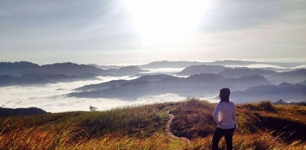
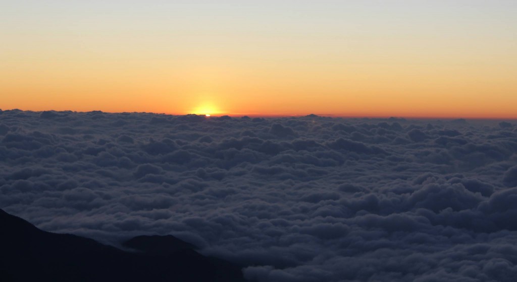
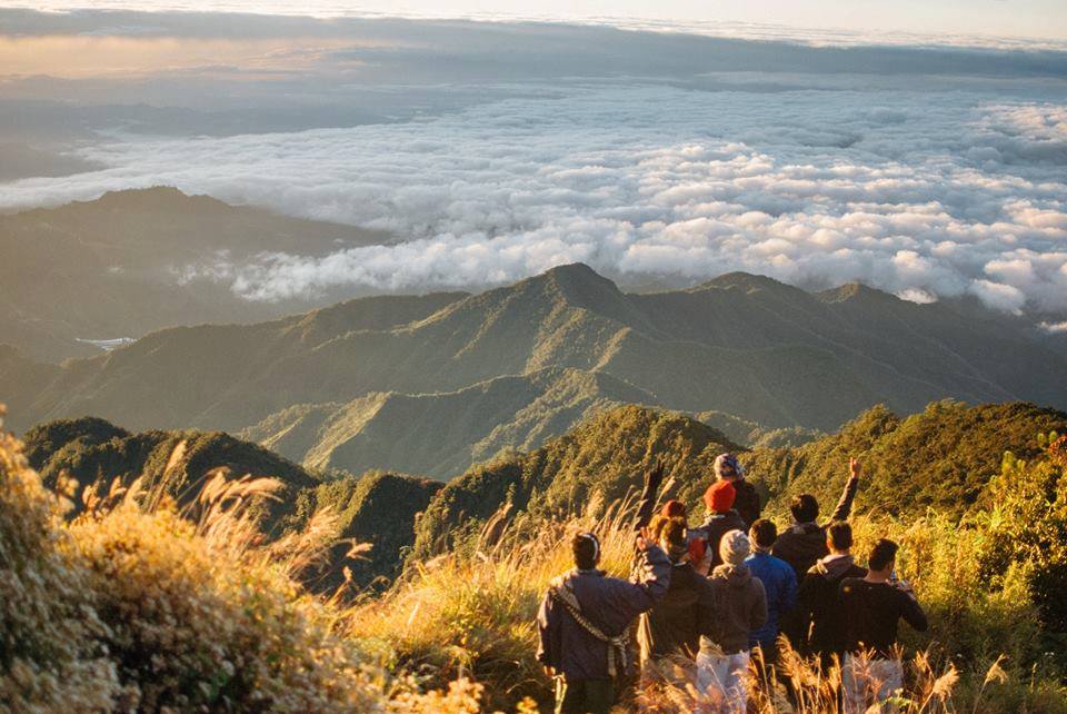
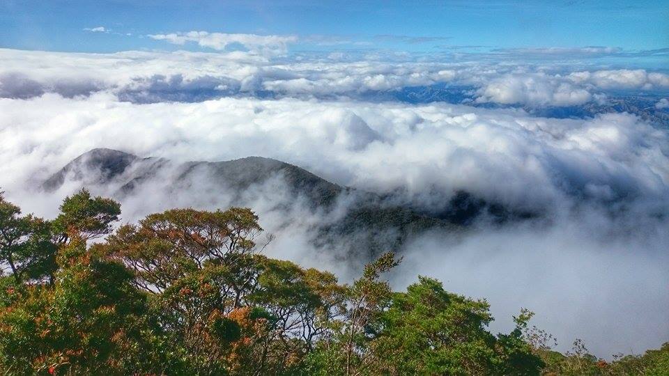
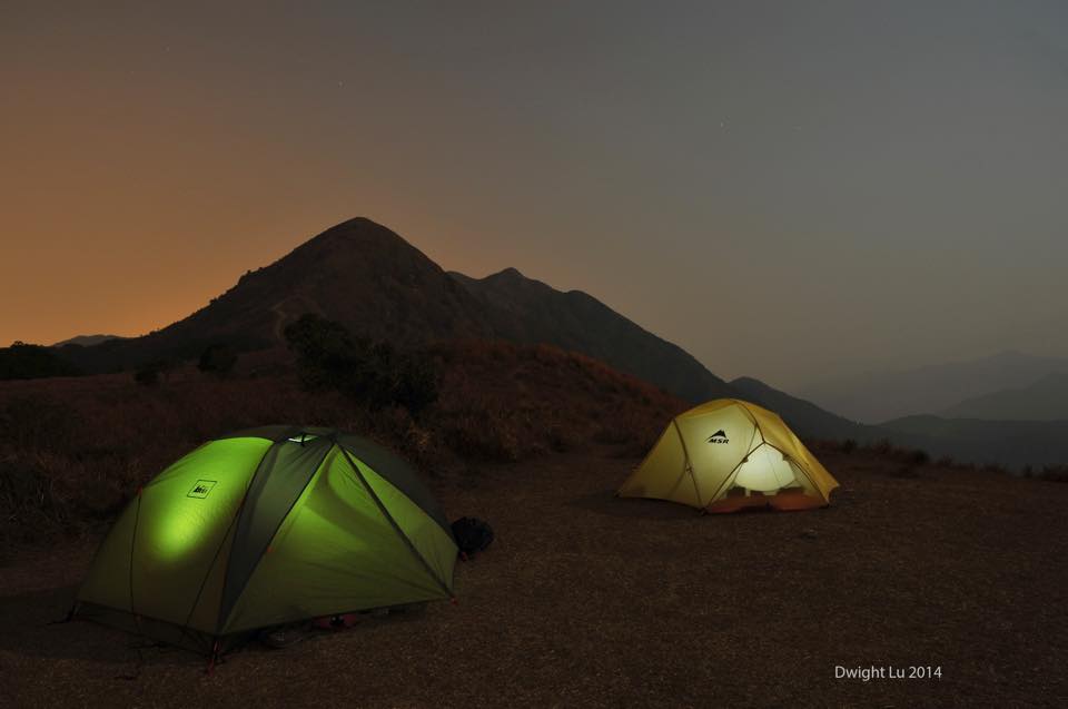
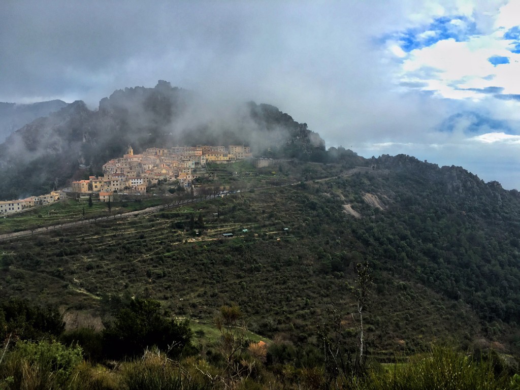
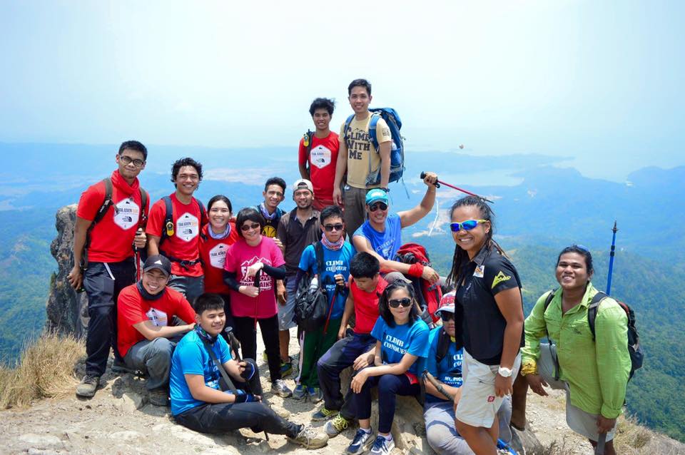
Inspired by the first two National Mountain Cleanup Days in 2014 and 2015, the third NMCD is envisioned to live up to being an annual reminder to the public of the importance of having clean mountains, as well as a set of simultaneous activities organised by different groups that will clean up mountains and other natural areas in different parts of the Philippines.

SCHEDULE AND VENUE

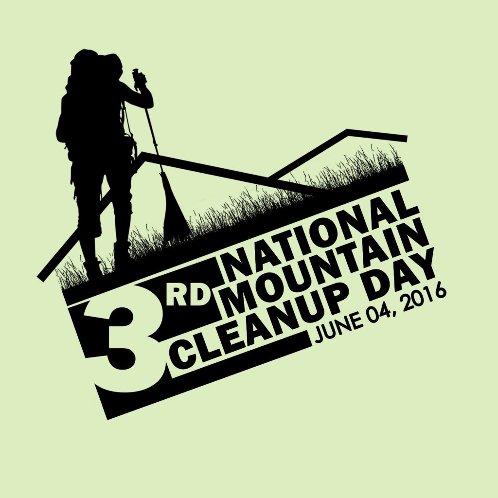
The third NMCD is scheduled to be first held on June 4, 2016. The venues are are the mountains and areas with hiking activity that are both within and outside the designated Protected Areas by the government.

ORGANIZATION 

1. At the national level, the lead proponent/s of the project will be coordinating the initiative in partnership with the Department of Environmental and Natural Resources through its relevant agencies. The local events however will be organised by different groups.

2. The organisers of each of the clean-up climbs will be assembled in one Internet group through a suitable social media platform in order to disseminate information. For climb organizers, please click this link to access the Facebook group for the NMCD.

3. There will be a designated coordinator for each clean-up climb who will be responsible for the participants and the conduct of the hike and the clean up. All coordinators must have basic mountaineering skills and must have experience in organising hikes.

PARTICIPATION 

1. Any hiking or outdoor club, civic organization, or group of individuals may join the NMCD. Groups are at liberty to select their target mountain for clean-up. However, there may not be several groups doing a clean-up in a single trail or area.

2. Participating groups are responsible for the safety and well-being of their participants.

3. Every group must have a designated coordinator.

4. The coordinator for each climb must make sure that his participants are sufficiently fit to participate in the activity, have sufficient mountaineering skills and experience, knows what to do in case of emergency, and is aware of the Leave No Trace principles. If a participant is below 18 years of age, parental consent must be secured.

5. The maximum number of participants per group is 18. However, this is just a general guideline. The policies set by the mountain authorities (i.e. PASU, ENRO, barangay officials) take precedence over this guideline.

6. The organising party will coordinate with the Protected Area Management Board through the Park Superintendent. If the mountain is not a protected area, the organising party should instead coordinate with the local government unit in charge of the mountain. The following should be endorsed and consulted:

a. The number, names, and contact information of participants
b. The itinerary of the hike
c. Areas that will be cleaned up
d. Emergency plan
e. Waste disposal plan

7. In case there are several groups seeking to hold clean-up activities, the Park Superintendent will determine the maximum number of participants for each group, as well as how the groups will be divided according to target areas of clean-up. In mountains not falling under protected areas, should designate a lead coordinator for the clean-up efforts for the particular mountain, and discuss beforehand to designate particular areas to be cleaned by each group.

8. In protected areas, the Park Superintendent will designate the designated waste disposal facility. For other areas, the DENR will provide advice at the national level while the participating groups will also coordinate with the relevant LGU on where the garbage will be disposed.

9. All participants must treat every clean-up climb as a regular hike and thus they must have contingency plans, designation of tasks (i.e. lead, sweeper, medic). Importantly, every team should have a first aider who can respond to injuries like cuts that may be caused by picking up garbage.

10. Participating groups should feel free to organise other activities concurrently with the clean-up, including, but not limited to community outreach, dialogues and lectures about Leave No Trace principles, among others.

GARBAGE COLLECTION AND DISPOSAL

1. For the purposes of the event, garbage is defined as any material that was brought by humans to the mountains and does not serve any useful purpose. Common garbage in the mountains include various kinds of plastics, glass bottles, cans, any form or piece of paper, cloth, or any other material left by humans. All forms of garbage should be collected from the campsites, trails, peaks, and other areas of interest.

2. Participants will be advised to use garbage bags to collect the trash. Each participant should try to fill one or two garbage bags depending on the number of trash on the trail. The bags must be of sufficient thickness to withstand being transported through the trail. If in doubt, consider using two bags for double thickness. Biodegradable, environment-friendly garbage bags are preferred.

3. Participants should wear rubber gloves or equivalent for sanitary reasons, as well as to protect themselves from possible cuts or injuries from sharp trash like bottles. Special precaution should be exercised when handling glass shards as well as opened tin cans, as their edges can cause injuries.

4. Participating teams should consider bringing other tools such as a hand trowel that can assist in retrieving buried cans, glass, and other forms of garbage.

5. The sweeper, or the last person in the group, must ensure that no trash bags are left behind, and that they are not left in huts, rest stops, not even in the trailhead, regardless of the existence of trash cans there. Only the designated waste disposal area should be considered. If necessary, groups should transport the garbage with them to a point where proper waste disposal is assured.

6. At the designated waste disposal facility, the groups should measure the weight (i.e. in kilos) and volume (in number of bags) of the garbage they were able to collect. In the absence of a designated waste dis

7. In cases where locals would demand that participants leave the garbage in certain places, like campsites, participating groups are encouraged to abide with the chain of waste disposal as long as this can be done amicably.

FEEDBACK
In order to improve on future clean-up days and also to guide future clean-up activities, participating groups will be requested to report the following to the PASUs or, if outside a protected area, to the coordinators for compilation:

a. Actual number of participants
b. Areas where garbage was found
c. Weight and volume of garbage collected
d. Problems and challenges encountered
e. Personal/group reflections on the activity
f. Recommendations for the next NMCD
g. Status of the mountain
h. Photos of the mountain

The post Guiding Document: 3rd National Mountain Cleanup Day, June 4, 2016 appeared first on Pinoy Mountaineer.
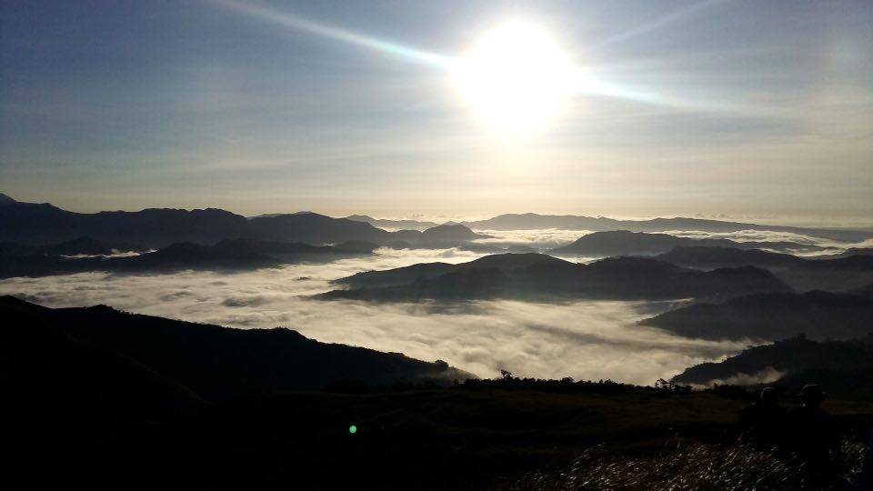
List of groups joining the National Mountain Clean-up Day on June 4, 2016

$
0
0

12922237_10206306128038323_1953523635_o

PARTIAL LIST OF CLEAN-UP CLIMBS FOR THE NMCD 2016

As of Apr 11, 2016

For more information visit the Guiding Document for the NMCD 2016!

You can also sign up by commenting in this post. Just post your group name, cleanup venue, date, contact person, and contact information. Thanks!

DESTINATION ORGANIZING CLUB OR GROUP CONTACT PERSON CONTACT #
Mt. Romelo Kanlungan Pilipinas Movement Kyut Villarca  09985742284
Mt. Magsanga, Leyte  Magsanga Adventure & Outdoor Club Alloyd Van Wenceslao 09152611104
Mts. Pamitinan, Binacayan  MONTALBAN MOUNTAINEERING CLUB JOHN RAY LEAL  09488546734
Tropang Ryoko-Sha 1.0 Fredner M. Madridano, 09082905776
Mt. Daraitan APEX Bhem Frix Arpon 09179014887
 Independent Mountain Climbing Alliance For Responsible Outdoorsmanship William Pajarillo 09052242062
Mt. Talinis Alimatok Mountaineering Club  Adrian Cabrera Pajunar  09058050424
Manabu Peak RW Outdoor Club Win Francisco 09175872647
Mt. Batulao Team ni Abong Francis Silverio 09989715315
Gulugod Baboy Team360 Christopher Lorden Z. Patingo 09088100892
Lokal John Bulaclac 0905482 2051
Mt. Tagapo EBICOL Mark kenn Brito 0916-776-2973
 Sabiteers Philippines Rogemar Bravo 09988830840
MINALUNGAO NATIONAL PARK  ALPINISTANG LIWALIW
MOUNTAINEERING GROUP
JURISH CASTILLO 0999-7075787
Ampucao Ridge Discover Islam Baguio Bedejim Abdullah 09065174913
Mt. Daguldol (May 28-29) LAKBAY PILIPINAS  Norman Paul Yang  09164853572
Budlaan river to Mt. Sirao KaLaIn and Chasing Summits Alitzur Clint Villones Rustila 09163424851
TBA ESKAPO Mountaineers – Cebu Julius Heartfred L. Saso 0918-906-2269
Cansomoroy Peak, Balamban Cebu  LAAGAN PILIPINAS Elvs Patag 09225509852
Babatngon Mountains, Leyte SAYPUNG ADVENTURE CLUB Ronelo Hidalgo 09263010285
Mt. Malipunyo Vagabond Mountaineers Randolf Magada 09162895669
 Mt. Tibig Sinarubot Mountaineering Club Jerome D. Duenas (0917) 859-8229
 Mt. Sembrano NPA – Nice People Around :Albert Joldanero Asonio 09056992122


HOW TO JOIN 
Review the Guiding Document for details. You can add your group by commenting on this page with the following details:

Mountain to be cleaned-up, and trail to be used:
Group (does not have to be a formal organisation):
Contact person:
Contact information:

Important: It is the responsibility of every group to ensure the fitness and preparedness of their participants, to coordinate with the relevant LGU / local officials, and to ensure proper waste disposal.


FREQUENTLY-ASKED QUESTIONS

1. I do not have a group. How can I join the clean-up climbs?
The contact numbers of the organizers are listed in the table above. You can contact them to signify your interest. However, please understand that because not everyone can be at the same mountains at the same time, not everyone can join the initiative. However, everyone is encouraged to organise and join clean ups and other environment-supporting activities throughout the year.

  1. Our group has signed up but we do not know how to organize a clean-up climb. How do we go about it?
    Organizing a clean-up climb is not rocket science. Basically a clean-up climb is just the act of climbing a mountain to collect trash in the trails, campsites, and points of interest and bringing it down to a place where proper waste disposal is practiced. Please refer to the Guiding Documentfor additional guidance.
  2. What if there are several groups doing a clean-up climb in one mountain?
    The reason why I am posting the groups who have already announced their intentions is so that we can avoid such a situation. Groups who have decided on the same destination can discuss among themselves how to work it out. For examples, many mountains have different trails and groups can focus their clean-up efforts in a particular trail. Two or three groups doing a clean-up for one mountain is not a bad especially if these mountains are high-impact to begin with, and have many trash to be collected. The important thing is that groups cooperate with each other and with the local government.
  3. How much will participating in the clean-up climbs cost?
    It will cost nothing. There will be no registration or other fees. Of course, you will have expenses like going to the mountain, or contributing to the food, transpo, etc, for your own climbs. PinoyMountaineer itself is not the organizer of one big event, but the coordinator of many small events happening at the same time. I want this event to be as ‘grassroots’ as possible but providing the necessary unity to it.
  4. Why do you have to do a cleanup day? Cleaning up the mountains should be done year round!
    To this kind of argument, I might as well respond: “Why do you have to celebrate your mother’s birthday? Celebrating her should be done year round!” Definitely, making our climbs clean and holding clean-up climbs should be practiced throughout the year. But we need special days to remind us – and to send a message to  others – that mountains should be kept clean, and it is a shared responsibility.
  5. Will there be IDs and event/souvenir shirts?
    I know that shirts and IDs are important for hiking events. However, to avoid any financial and logistical issues, any shirt that will be produced as an event shirt will be open source designwhich groups and individuals can just download and print for themselves and add their logos on it. This logo is now available on PM Facebook page and the Group Page for the NMCD.

The post List of groups joining the National Mountain Clean-up Day on June 4, 2016 appeared first on Pinoy Mountaineer.


Essay on Iceland: Desensitized to beauty

$
0
0

12671860_10154014884798255_3981044136180951154_o

by Gideon Lasco

REYKJAVIC, ICELAND – With all the beautiful images we see on social media, not to mention on travel blogs, websites and TV shows, are we at risk of being desensitized to beauty?

When star trails began appearing in my Instagram feed, they were a novelty, possible only through a meticulous setup of an SLR mounted on a tripod and set to a very long exposure, together with of course an increasingly-elusive clear night sky. But, thanks in part to the proliferation of GoPros, everyday I see star trails and I’m not so enthused to “like” them anymore.

There is much historical precedent for photographic developments losing their novelty, including the birth of photography itself. When National Geographic magazine was first launched in 1889, it sufficed for them to draw illustrations of peoples and places. But since 1905, photographs have taken a leading role, and they have became an integral part of the narrative.

Then came colored prints in the 1930s, which, after some resistance, rendered the black and white photos obsolete – save as an art form or a way of conveying a feeling of nostalgia.

Today we can capture the world in ultra-high-definition, and visualize its entirety, from the ocean floor to the lofty Himalayas. They’re all accessible from our laptops and smartphones, not to mention the more famous ones that we have been seeing since chilhood: By the time I saw the Eiffel Tower, the Taj Mahal, and even the Grand Canyon, they were already strangely familiar.

***

Doubtless the proliferation of images is changing the way the we see the world. Are we then still able to apprehend beauty?

Perhaps visual imagery will diminish in potency as images become even more high-definition. Once when we came upon a mossy forest while hiking in the southern Philippines, one of my companions gasped, “It’s like Lord of the Rings!” The imagined worlds – more vivid and accessible to our eyes – have become the standard against which the real is judged.

But beauty goes beyond what we see. The pictures of the Swiss Alps do not convey the cold air, the scent of pines, the cry of the condors. There are “4D” cinemas that try to add sounds, scents, and movements, but there will always be a demand for the “real”.

Our response, then, is to go beyond the visual in the way we define our experiences. Do we remember sounds, scents, tastes, sensations just as vividly as images? The power of music in tapping into our deepest emotions and the power of scents in transporting us through time should convince us of the possibility of a fuller experience of the world through the engagement of all our senses.

This is not easy to do because we have accorded the distinction to sight of being the “noblest of senses”. But perhaps the overload of imagery should force us to rethink our engagement with the world. When confronted with a beautiful sunset, we rush to capture it with our cameras, but what of the tropical breeze, the scents and sounds of the seas, and the feeling of lying on the sand? Perhaps we are missing half of the world not because we’re not looking hard enough, but because we’re not closing our eyes.

.

***

Can beauty be diminished by dilution? Will each and every one of a thousand Liza Soberanos be as beautiful as the one that is unique? This is a philosophical question, but it draw parallels with the question we are trying to grapple with: Can the multiplicity of beautiful images threaten the beauty of the images themselves?

Possibly. But again, only if we are relying on our sense of sight. Even if a thousand persons looked the same, they may have different voices, and certainly, different personalities. That, too, is beauty.

By moving away from the visual, perhaps we can find a complexity in the world that cannot be reduced to images.

Bringing in the element of change, moreover, can allow us to respond by questioning the very possibility of repitition. Put in another way, we can argue that because the world is always in motion, it continuously defies capture and therefore its possibilities for something new can never be exhausted. This is perhaps a lesson that Icelanders can teach the world: Situated in a country that is full of wonder, they never grow tired of exploring their mountains, glaciers, islands, and  fjords. As the Northern Lights danced above us in that magical night in Thingelvir – site of the ancient Viking parliament – our guide exclaimed: “We are actually just as thrilled as you are, because they’re different each time!”

This temporality further clarifies our conception of beauty – not just one that goes beyond the visual, but one that rests in its ephemeral character: The cherry blossom is at its most beautiful at the moment when it is falling, but has not yet fallen. The Northern Lights dance differently every

Thus we must not fear for beauty: it will endure, like truth and love. And knowing this, we should still heed Mark Twain’s call to “explore, dream, discover”. To explore is to go out of your comfort zone and venture into the unknown; to dream is to let your imagination guide you, and to discover is to learn something new in the process. No matter how many people have come before us, there is still much to gain from traveling, not only because every person sees the world differently, but because the world itself is different each time.

Indeed, we may be desensitized to visual imagery, but for as long as we engage all our senses, and as surely as the world is alive and ever changing, there will always be moments that will that take our breath away.

Reykjavic, Iceland
April 13, 2016

The post Essay on Iceland: Desensitized to beauty appeared first on Pinoy Mountaineer.

Hiking matters #499: Hiking up Cime de Baudon (1266m) in the Maritime Alps, French Riviera

$
0
0
IMG_5202
At the summit of Cime de Baudon (1266m) in the French Riviera

From the beautiful Mediterranean city of Nice in the French Riviera, one can take a 30-minute train ride to Monte Carlo in Monaco – or to the famed town of Cannes. More interested in the outdoors, however – especially after being deprived of hiking in my European home city of Amsterdam – I instead decided to check out the hiking trails of Maritime Alps.

IMG_7763

Early in the morning I took the 45-minute train to Menton near the Italian border, and from there proceeded via Bus 7 from the Menton Gare to the village of Gorbio, where I commenced a loop hike of Cime de Baudon (1266m), one of the higher peaks of the Maritime Alps and the French Riviera. I started the trek as soon as the bus arrived – at 0930H.

IMG_7762

The first part of the trek follows the GR-51 (GRs are long-distance trails all over Europe) to another lovely village, St. Agnes, passing through some countryside scenery, including old chapels, cobblestone footpaths and walls, and of course, pretty woodlands. Every so often there were trail signs and I was reassured of my progress when I reached the road D22, and past it, Col de Bousson.

IMG_7766

From St. Agnes, the hike is a straightforward ascent through forest before reaching the nothern ridge of the mountain. At this point, it it tempting to scramble up the edge of the ridge but actually the summit is still of considerable distance. When I finally arrived, I was lucky to have a bit of a clearing – not the “vue magnifique” that some French bloggers promised but still a worthy reward for the hike!

IMG_7764

From the summit, I traversed to the Col de la Madone de Gorbio (910 m), passing through the Ravin du Rank to reach Gorbio by 1500H – 50 minutes ahead of the 1550H schedule of the bus back to Menton. I then headed back to Nice where I celebrated with some salade nicoise and gigot d’agneau. Tres bien!

IMG_5100


The post Hiking matters #499: Hiking up Cime de Baudon (1266m) in the Maritime Alps, French Riviera appeared first on Pinoy Mountaineer.

Nine visually-impaired first-time hikers reach Pico de Loro summit

$
0
0

13133149_10154809198483082_6925506675973001200_n

“They have lost their sight, but not their vision”

On April 28, 2016, nine visually-impaired first-time hikers reached the summit of Pico de Loro, each of them accompanied by a volunteer mountaineer-guide, in an event called “Zero Visibility: Sharing the Vision” organized by Pinoy Mountaineer and Nomad Terra Crawlers together with the Parent Advocates of Visually-Impaired Children (PAVIC), Resources for the Blind, Inc. (RBI), Trail Adventours, and individual volunteers.

The VIs (the preferred term for persons with visual impairment used by the participants themselves and their parents) who participated in the hike were Stephen Louel Egamin, Mark Roland B. Parcon, Ma. Angelika F. Torres, Jerald Polintan, JC Lee, Gerry Gonzalo (who had previously hiked Mt. Batulao and Mt. Ulap), Brandon Ricafort, and Ms. Baby Padasas of RBI. A majority of the participants are teens who have been blind since birth. Their parents and guardians also joined the activity. Volunteer mountaineers included Ramel Ng, Carlo Nicolas, Brent Tan, Daryl Comagon, Kharmey Hidalgo, Peter de Guzman III, Cathy Hermogenes, JC Villanueva, Miguel Dalisay, Adelle Cortado, and Pinoy Mountaineer Gideon Lasco, who initiated the activity together with Simon Adriano who will produce a documentary out of the activity.

Contrary to popular belief, outdoor recreation is actually possible for people with visual impairment. In terms of guiding, all it takes as a willing and competent guide with a sensitivity to the VI’s circumstances, and in terms of the VIs enjoying the experience, there is actually more to the mountain than the view – there are different sounds in the forests; different sensations of the elements, and of course, there is the challenge of hiking itself. This, and more, was what the activity set out to prove.

Blind climbing – or hiking – has had precedents in other countries: blind mountaineer Erik Weihenmayer made history by reaching Mt. Everest in 2001 – but this activity may be the first in the Philippines. Dr. Allan Larona, an ophthalmologist who joined the hike, commented that “this kind of activity brings a different kind of healing – one that uplifts and empowers.” He added that it has a great potential in helping raise awareness about the causes of blindness as well as various issues that persons with blindness face in society.

After the hike, a simple ceremony at the trailhead in Maragondon, Cavite was held, in which PAVIC president Leo Lee thanked everyone for the successful event. saying that “There is no greater disability in society than the inability to look beyond people’s disabilities and focus . For his part, Gideon Lasco said that “Above all, this activity showed to us the power of the human spirit to overcome any limitations.” All the parties agreed to continue the initiative in the future.

The post Nine visually-impaired first-time hikers reach Pico de Loro summit appeared first on Pinoy Mountaineer.

Open letter to schools, colleges, and universities: Allow your students to go outdoors

$
0
0
12494780_1146371208715685_5620028710902122012_n
The Loyola Mountaineers of Ateneo de Manila University in Mt. Tibig, Lobo, Batangas (Photo courtesy of LM)

Kudos to all the schools, colleges, and universities (SCUs) that allow, accredit, and support hiking and outdoor clubs as student organisations. Kudos to SCUs that permit outdoor activities like camping trips, hikes, and other outdoor activities.

On the other hand, I feel sorry for many schools in which students are not allowed to pursue outdoor activities and where outdoor clubs and denied recognition. To their administrators, PTAs, and officials: Don’t allow the hypothetical risk of an accident to outweigh the benefit of your students seeing and learning more about the country and the environment.

I understand your concern for safety, but the outdoors is actually a very safe place if you know how to go there responsibly and with the proper preparation. There are many mountaineers out there who are willing to help you out. Please put questions of risk in perspective. Your students are safer in the mountains than in the private cars that take them to your schools.

There is so much that the outdoors can teach our young people.

Aralin Panlipunan? Don’t just teach them about rural areas and all our provinces. Bring them there! The Philippines is not a map to be memorised, but a beautiful country to be explored. Don’t just tell them that we have various indigenous peoples. Allow your students to meet them, and see the full beauty of their ways of life.

Biology? Don’t just let them dissect a frog – or take them to a zoo. Take them to the forests, take them to the coral reefs! That’s how they will develop a love for nature: By actually seeing it in its full glory, and therefore realizing what is at stake wheenver a forest is threatened.

Physical education? Don’t just make them jog inside your school grounds. Make them hike for a day!

Values education? Let the outdoors teach them a thing or do about being responsible, being part of a team, and getting along with people from all walks of life. Let the outdoors teach them what it takes to aim for the goal of the summit, and the reward of getting there.

We need our students to be well-rounded, and well-grounded – in the realities around us. Please do not deprive your students of the lessons that can only be learned outside the classroom.

– Gideon Lasco

The post Open letter to schools, colleges, and universities: Allow your students to go outdoors appeared first on Pinoy Mountaineer.

Essay: On vandalism

$
0
0

12957120_10205105822959118_690958485_n (1)

by Gideon Lasco

I was just sent a photo showing the Philippine flag near Mt. Arayat’s South Peak vandalized with various names.

I am not going to post the photo here because doing so will do further dishonour our flag – and incite unnecessary hate. (These are some of the editorial decisions one in this age of social media)

So I am instead sharing this photo from Kurt of Cuernos de Negros Mountaineers showing a vandalized tree in Mt. Talinis to show what vandalism is and what it does to the vandalized object and its surroundings.

In the past, vandalism was people’s way to be remembered; of making their mark in the places they visited. When I was in Greece, I was surprised to see that even the famous British poet Lord Byron vandalized some ancient ruins with his name.

Photography changed that: there is no need to make your mark in the places you visited as evidence of having been there. A photograph – and for today’s generation a selfie – will suffice. This, I think, is one of the reasons why vandalism has dwindled.

But not completely. For one, many people still don’t have cameras. And many have not been educated about the importance of preserving nature the way it is.

From Cagua Volcano in Cagayan and Pico de Loro in Cavite to Mt. Talinis in Negros and Mt. Apo in Southern Mindanao, we see rocks, trees, and even – as I saw today – a flag vandalized.

This is very unfortunate. Vandalizing a tree may not be as bad as cutting it, but at the minimum, vandalism is a crime against beauty. Moreover, vandalism is a desecration of the integrity of things. When a helpless, defenceless tree is defaced, there is violence both symbolic and substantive of humanity’s penchant for subduing (and destroying) the rest of the natural world.

Perhaps saying these things is like preaching to the choir, since most of the people who will be reading this are readers. But even so, if I’m talking to someone who has done any kind of vandalism, please understand that it’s very wrong to do so.

And for the rest of us, let’s discourage others from vandalism by serving as good examples – and calling them out when we see them. Or privately confronting them, and, as a last resort, reporting them to the authorities. (To those sending me vandalism photos: I appreciate them, but personally, I’m not in favor of using social media to shame people – one can easily vandalize a tree with the words ’Koi Grey’ and posting it will be unfair to him since it could very well be someone else who wrote it.)

Ultimately, vandalism is a reflection of our collective attitude towards the natural world, and consequently, its fate, since it lies in our hands. When we learn to leave nature the way it is, that’s the time when we can hope that the trees that dwell in our mountains have not been marked for destruction.

The post Essay: On vandalism appeared first on Pinoy Mountaineer.

Letter to a young mountaineer, IX: A mountaineer’s legacy

$
0
0

13170748_1137290579627826_229603587_o-2

You were hiking a mountain when you overheard someone in the trail boasting about his hikes. You kept your silence, but when he claimed that he was the first to climb a mountain that you were actually the one to pioneer several years ago, you felt the urge to confront him about his false claim. You held back, but the negative emotions lingered throughout the climb, reminding you that a new generation has come: one who do not regard or remember those who came ahead of them.

Someday, people will forget the explorations you have done, the trails you have blazed, the peaks you were first to reach, the knowledge that you have shared. Some people you have influenced to climb mountains will eventually think of themselves as better than you, while others will take credit for what you have done. And worse, there are those who will even try to earn from the destinations you have discovered, the accounts you have written, and the people you have inspired to take up the outdoors.

When this time comes, do not worry, nor feel bitter, because such is the way of the world. Always look back to your very first hikes, and your very first reasons for pursuing the peaks: the love of adventure, the romance of discovery, the pursuit of your dreams. Honor, glory, and recognition were far from your mind then, and there is no reason for you to be coveting these right now.

It is natural for man to desire a lasting legacy. Just as pharaohs and kings built monuments they hoped would last for millennia, mountaineers named peaks and trails after themselves, in the hopes that such names will serve as commemoration. Well and good if someday, your peers will give you such a tribute. But even if someone names a mountain after you, bear in mind that like the streets in our cities, the names of the mountains can easily change. In 1871, a peak in Central Asia was named Mt. Kaufmann; fifty years later it was changed to Lenin Peak, and almost a century hence, they renamed it again to Ibn Sina Peak.  North America’s highest peak, until recently named Mt. McKinley named after a former US president, has now reverted to its indigenous name, Denali.

Time changes everything. Even if they preserve your name, it is no guarantee that people will remember. People know Mt. Everest, but not George Everest after whom the mountain was named. People know Mt. Koscuisczo in Australia, but not the Polish explorer that the mountain’s name honors. Even in our country, there are many persons – from Gen. Frank Parker to Governor William Pack –  who have now faded into oblivion – even as the mountains named after them – Mt. Parker in South Cotabato and Mt. Pack in Benguet – endure.

Understandably, many will feel bitter about these changes, and you should not begrudge your elders for feeling this way. In fact, now that you have made some achievements of your own, perhaps you are beginning to understand their sentiments more. You should set an example to the next generation by giving due recognition to those who came before you. You should remind people of their feats by mentioning them in your works, and emphasizing that each generation has contributed to our knowledge of the outdoors.

But you can spare yourself from future sorrow by setting your mind into other ways of leaving some legacies – without necessarily leaving your name.

The first legacy that you should try to leave is that of environmental awareness. Let them forget you, but let them never forget the love for mountains which is the ground in which our adventures must be rooted. Set a good example to everyone by showing them how to hike the outdoors carefully – lest you make any unnecessary impact. If people follow you, then you must be prepared to accept more than the usual share of responsibility. Take the extra mile and pick garbage along the trail – instead of just not throwing trash. Don’t just be content not to destroy trees; you should actually plant some. Don’t be content to practice the “Leave no Trace” principles. Preach it! But you can only do so if you practice it, for your example will speak louder than your words.

The second legacy that you should try to leave is a perspective that sees the mountains as a source of enlightenment. At first, they will seek beauty and adventure, and you do not need to tell them to aspire for the summit – because they already are. But you can impart a greater appreciation of the trail, and more importantly, an understanding of how the mountains can make us better persons.

Perhaps someday they will remember you, and tell of your adventures. As long as you have influence, use it for the good of the mountains! Use it to inspire others to pursue the outdoors and to love it with a willingness to speak out on its behalf and to action for its protection.

But many mountaineers fade away with nary a song about them, and if such is your fate, then accept it willingly and joyfully. Let go of the desire to be recognised or remembered, because a mountaineer should be willing to leave no trace of himself – not even in people’s hearts.

Los Baños, Laguna
May 8, 2016

Photo credit: Charles Latonio (Lake Holon, Mt. Parker, South Cotabato)

LETTERS TO A YOUNG MOUNTAINEER
Personal essays by Gideon Lasco
I: A letter to a young mountaineer
II: Why do accidents happen?
III: Of doing and loving
IV: A difficult situation
V: Wise words from an old man
VI: The Philippines that I love
VII: The calling
VIII: The girl who climbs mountains
IX: A mountaineer’s legacy

The post Letter to a young mountaineer, IX: A mountaineer’s legacy appeared first on Pinoy Mountaineer.

Ten tips for hiking with your dog

$
0
0

1-IMG_2609-1024x768

by Gideon Lasco

Hiking with your dog can be a rewarding activity but it must be done properly, mindful of the dog’s safety and fitness, and respectful of other hikers and the environment. Here are some tips for hiking with your dog:

1. Train your dogs first with easier and shorter hikes. Dogs, like humans can also get overwhelmed by distance, and they can also be affected by altitude.

2. Take the dog for a checkup and medical clearance. Before you go on a hike, make sure that your dog is up to date with vaccines, and if your dog has medical conditions, your vet can provide advice. Dogs that are too young or too old may not be advised to proceed with the hike.

3. Take note of the veterinary clinic nearest to your planned hike, in case of emergency. Check this page in the PAWS website for more information.  Importantly, keep your vet’s phone number so you can call for help.

4. Bring a first aid kit for your dog, and learn about animal first aid. Bandages, surgical tape, gauze, and an Elizabethan collar are among the components of a first aid kit for dogs. Check out this useful article from Outside Outline for more information.

5. Don’t feed the dog with a large meal before the hike. Give the dog a small portion and snacks along the way instead.IMG_2689

6. Avoid hiking during the hottest times of the day and very hot days. Dogs don’t have the ability to cool down and sweat like humans, so be sure to check the weather first before attempting to hike. Best to hike early in the morning or late in the afternoon. Warning signs that your dog is experiencing hyperthermia or overheating include excessive panting, increased salivation, red or pale gums, and weakness.

7. While hiking, make sure the dog is well and frequently hydrated. Dogs are even more prone to human to dehydration.

8. Keep the dog on a leash and don’t let him stray off trail. Also make sure that your dog doesn’t get into contact with wild animals and the dog doesn’t damage plants.

9. Be courteous to other hikers. Keep your dog calm while other hikers are approaching, and under your control when you encounter them on the trail.

10. Clean up your dog’s waste. You can either by bringing it back on a doggie bag or burying it far from streams or water sources. When it comes to dogs, the Leave No Trace principles still applies. Leave nothing but paw prints.

The post Ten tips for hiking with your dog appeared first on Pinoy Mountaineer.


Hiking matters #500: The Nietzsche Trail and Mont Bastide in Eze Village, French Riviera

$
0
0

IMG_5245

One day after hiking up Cime de Baudon (see Hiking matters #499) in Menton, I visited the medieval village of Eze in the French Riviera via the Nietzsche Trail, named in honor of the German philosopher who lived in the village. From Eze Village – a destination in itself due to its beautiful, well-preserved buildings – I also hiked up Mont Bastide which offered beautiful views of the Mediterranean Sea and the nearby towns and cities, including Monaco and Nice.

IMG_5248

The Nietzsche Trail (Chemin de Nietzsche) is easily accessible from the Eze-Sur-Mer train station, which is just 30 minutes or so away from Nice itself. Surrounded by pine forests, it is a relaxing trail even if oftentimes very close to the roads and houses. For good measure, I brought a copy of Thus Spake Zarathustra with me so I can read some chapters along the way.

IMG_5262


After an hour, I reached the village of Eze, and rested for a while before continuing the hike to Mont Bastide, reaching the trailhead by crossing the bridge towards the direction of Nice.

IMG_5208

This mountain, which rises at 570 MASL, turned out to be a refreshing hike. Typical of coastal Mediterranean peaks, the trail was rocky and surrounded with shrubs. The view was immediately splendid, with Eze village leading down to the coast, and as we went higher the coastal towns of Southern France came into view, as well as the peninsulas of Saint Jean Cap Ferrat and Villefranche-Sur-Mer.

IMG_5235

At the summit, the views were even nicer and I wish I could stay longer but I wanted to go back to Eze-Ville in time for dinner in Monte Carlo, Monaco – one of the easy sidetrips on a hiking trip in that part of France.

IMG_5226

The post Hiking matters #500: The Nietzsche Trail and Mont Bastide in Eze Village, French Riviera appeared first on Pinoy Mountaineer.

“Dayhikes from Manila” book by Gideon Lasco to be launched on May 25

$
0
0

13238929_10154867376758082_181808822969055804_n

My book “Dayhikes and Nature Walks from Manila”  is set to be launched at R.O.X Philippines, Bonifacio High Street, BGC, Taguig, at 7 pm on May 25! I will also be in ROX for much of the day (noontime onwards) to sign books and talk about the book project.

Highlights of the book include detailed itineraries, descriptions, and topographic maps of over 20 daytrips from Manila, organized according to the character of the destination (i.e. waterforms, volcanic hikes, seascapes). The maps were plotted with the help of Koi Grey.

For the formal book launch, I will talk about some of the lessons I learned from the dayhikes I’ve done, while veteran mountaineer and musician Sky Biscocho will perform some songs. Click this link to register for the formal book launch!

The book will initially be available at ROX Philippines branches (Taguig, Pampanga, Cebu) for P390.

For bulk orders (10 or more copies) contact info@pinoymountaineer.com.

The post “Dayhikes from Manila” book by Gideon Lasco to be launched on May 25 appeared first on Pinoy Mountaineer.

Trip Report: Mts. Fato and Kupapey in Maligcong, Bontoc, Mt. Province

$
0
0

IMG_8914

Mt.Fato (est. 1438MASL) and Mt. Kupapey (est. 1647 MASL)
Location Maligcong, Bontoc, Mountain Province

Difficulty: 3/9 (Trail can be likened to Mt.Gulugod Baboy, only covered with Pine forest)
Trail Class: 1-2 Though Mt.Fato’s trail is not yet well established.Rock scrambling is required to get to some spots on the summit.

Participants: Christian Caballes (Team Lead and author of this account),
Jonalyn B., Leony B., Alvin P., Mark N., Jess G., Odel A., Elaine S., Dina P., Pearl M., Irish P., Sarah T., Jonah S., Ghe D.

Actual Itinerary
(Coming from Baguio. Coming from Nueva Vizcaya is also possible)

Day 0:
11:00PM Depart from Cubao Via Bus to Baguio

Day 1:
05:00AM Arrival Baguio ñ Breakfast/Coffee/Buy Supplies
06:30AM Depart Baguio
08:00AM Stop Over at Halsema Highway Marker
12:00PM Arrival Maligcong
03:00PM Start trek to Mt.Fato
04:30PM Arrival at Summit
05:00PM Start descent
06:30PM Arrival at Homestay
Day 2:
03:30AM Wake Up call/Prep-up
03:45AM Start Trek
05:30AM Arrival Summit.Await Sunrise.
07:00AM Start Descend
08:00AM Detour to Maligcong Rice Paddies trail
09:00AM Arrival at homestay. Tidy Up
10:00AM Depart for Baguio
05:00PM Arrival Baguio.
11:00PM Arrival at Quezon City.

What inspired you to do this hike?
I’ve read about Mt. Kupapey from some blogs, and since a few hikers visit the place (maybe due to it’s remoteness). From the articles, Mt.Kupapey and Mt.Fato is described as a beginners mountain, so I decided to invite beginner friends as well to share the experience.

What are the highlights of the trip?
1. Sea of Clouds at Mt.Kupapey Summit.And if ever there is no presence of sea of clouds,
hikers will be treated to an overlooking view of the Maligcong rice terraces. So it’s a win-win situation regardless of the cloud condition.

2. The Maligcong Rice Terraces. One could take a detour to take the trail on the descent
to pass by the rice paddies. So if the view of the terraces from the summit is obstructed by the sea of clouds, hikers can still have an overlooking view by taking a detour from the backtrail. Just ask the guide to take you there. The terraces are also visible on the summit of Mt.Fato, though not as near if viewed from the summit of Mt.Kupapey.

3.Rock formations at the summit of Mt.Fato. The highest point of Mt.Fato is actually a big rock (picture below). The hiker must rock scramble to get to the top of this rock.

4. Guide Dogs. Dogs actually come with you during the hike. They are either dogs of the guide or dogs of the homestay. They stop during intersections or is someone is lagging, and wait for the hikers then show them the right way. Both of our hikes had a dog join us. Kunig (the most famous in Maligcong) joined us on Mt.Fato and Kangaroo joined us on Mt.Kupapey. there are two other groups aside from us on Mt.Kupapey, and they had guide dogs as well.

How can others do the same or similar trip?
Coming from Baguio, proceed to Slaughter House, Magsaysay Road and catch Rising Sun Bus leaving for Bontoc.From Bontoc, one may catch a Jeepney going to Maligcong (Trips are scheduled). Or if there are many of you, you can rent an entire jeep for around P700.
You could also rent Baguio based vans to take you to Maligcong directly. Just coordinate before hand.

Contacts:
Suzette Chees 09155463557
Just make sure to make arrangements beforehand from the homestay since they will also be coordinating the guides. Right now there are 3 homestays in Maligcong that could accomodate up to 20-30 hikers.

Other Notes:
A Mt.Fato-Mt.Kupapey Traverse can also be done for a more challenging trek (8 Hours).
Overnight camping is not allowed.
Strictly lights off at 9PM for the whole town.

MTS. KUPAPEY AND FATO PICTURES

IMG_9013
Hiking up Mt. Kupapey with a view of the Maligcong Rice Terraces
Fato Trail
The Fato Trail is characterized by pine forests
IMG_8697
One of the scenic viewpoints in Mt. Fato

The post Trip Report: Mts. Fato and Kupapey in Maligcong, Bontoc, Mt. Province appeared first on Pinoy Mountaineer.

Hiking matters #508: Mt. Kapayas, another nice dayhike in Cebu

$
0
0

IMG_8159-3

Around 50 kms north of Cebu City lies Mt. Kapayas (766m), another worthy dayhike in the island province of Cebu. With a limestone peak reminiscent of Mt. Napulak in Iloilo and the Montalban mountains in Rizal, it offers rewarding views of the Visayan seas and the large islands of Negros (W) and Bicol (E).

I hiked Kapayas in May 2016 accompanied by 18-time Halcon climber Cynthia Sy, traveler Limuel Lajo, and young Cebuano hiker Richard Angelo Tiu. From Mandaue, we took a northbound bus at the North Terminal and met in Catmon’s municipal hall with our guide Kyno Dumlao (09993259621), who arranged our permits (total 640 pesos) and the multicab that took us to the trailhead. This multicab ride passes through a rough roads and a dry stream before reaching the jumpoff at Sitio Kampanya.

IMG_8059

From this trailhead, we passed through a typical woodland with coconut trees and occasional grazing cows. It took just around 30 minutes for us to reach Sitio Lumanoy – a small cluster of houses on a flat area that counts as the mountain’s basecamp. After resting in this sitio, we continued the hike – this time through a more forested area. Halfway through the final assault, ruins of some huts and mini-cottages betray an old effort to turn the mountain into a mini-resort – which the government stopped (rightfully).

From the base camp, it took us less than an hour to reach the summit. It was high noon when we arrived, and we did not stay for too long. After admiring the view and taking some pictures, we took a straightforward descent back to the base camp and to the trailhead, where the waiting multicab took us back to Catmon – where we waited for the bus back to Cebu. Altogether it was an easy and rewarding dayhike!

IMG_8146

The post Hiking matters #508: Mt. Kapayas, another nice dayhike in Cebu appeared first on Pinoy Mountaineer.

“Dayhikes and Nature Walks from Manila” by Gideon Lasco now available!

$
0
0

13315551_1190561137644345_8983513556079172429_n

The “Dayhikes and Nature Walks from Manila” guidebook, authored by Gideon Lasco is now available in R.O.X. Philippines in Taguig for P390! It is the first hiking guidebook in the Philippines to include topographic trail maps.

The availability of the book follows a book launch  hosted by Osprey Philippines and C.OR.E Philippines, in Bonifacio High Street, BGC, Taguig last Wednesday, May 25, 2016. On the same day, Gideon held a book signing session in the flagship store of R.O.X. Philippines.

For orders of 5 or more books, you can also order by email with free nationwide delivery! Email info@pinoymountaineer.com to receive information on how to avail of this service.

Soon, the book will also be available in R.O.X. Marque Mall – Pampanga, R.O.X. Ayala Center – Cebu, and Solidaridad Bookshop in Padre Faura, Manila.


The post “Dayhikes and Nature Walks from Manila” by Gideon Lasco now available! appeared first on Pinoy Mountaineer.

Viewing all 610 articles
Browse latest View live