Quantcast
Channel: Pinoy Mountaineer
Viewing all 610 articles
Browse latest View live

Hiking matters #629: Mt. Kiamo, pitcher plant mountain in Malaybalay, Bukidnon

$
0
0

Kiamo 4

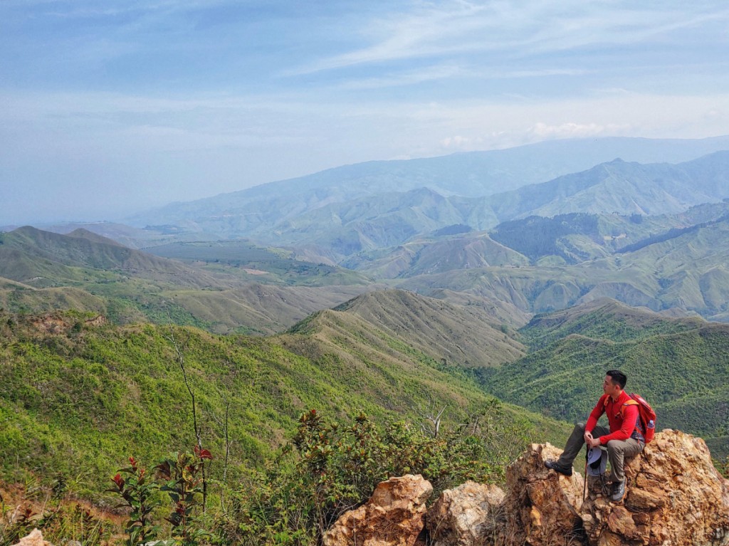
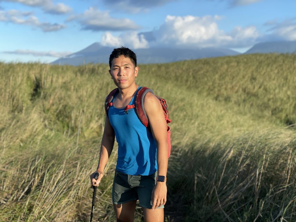
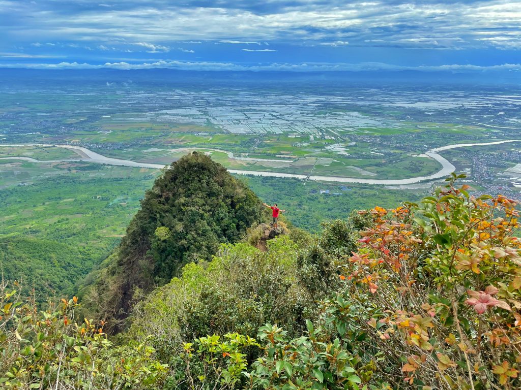
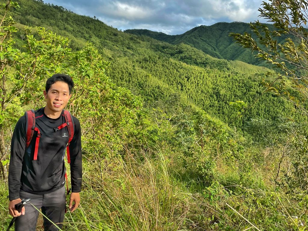
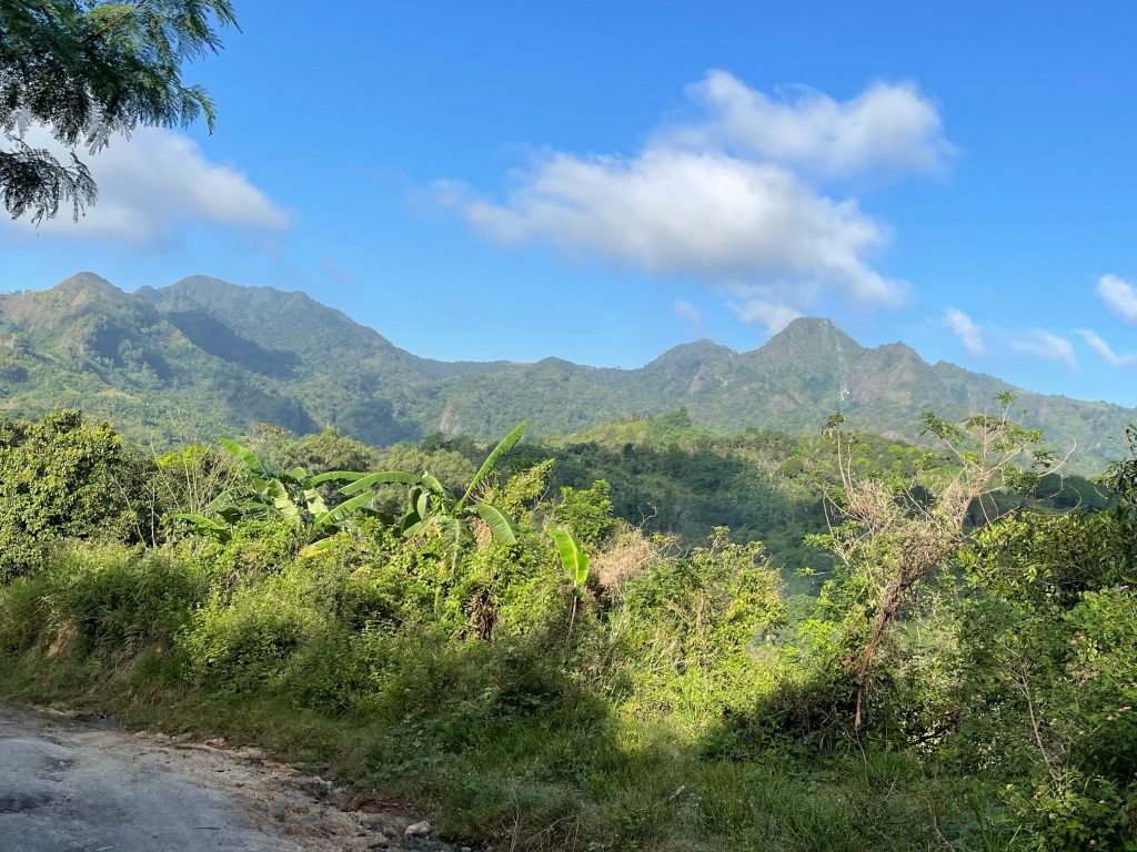
MALAYBALAY, BUKIDNON – This province is known for towering giants – most especially the peaks of the Kitanglad and Kalatungan Ranges. Who can forget the D2k? With the further establishment of mountaineering, however, more and more peaks are being documented and popularized. Some of them, however, become popular mostly for the views – like the Paminahawa Ridge in Brgy. Impalutao in Impasug-ong, Bukidnon – or Mt. Capistrano. While I have nothing against these destinations, however, sometimes you want to hike something more substantial – without the multi-day committment or logistical demands of the big mountains.
Kiamo 7

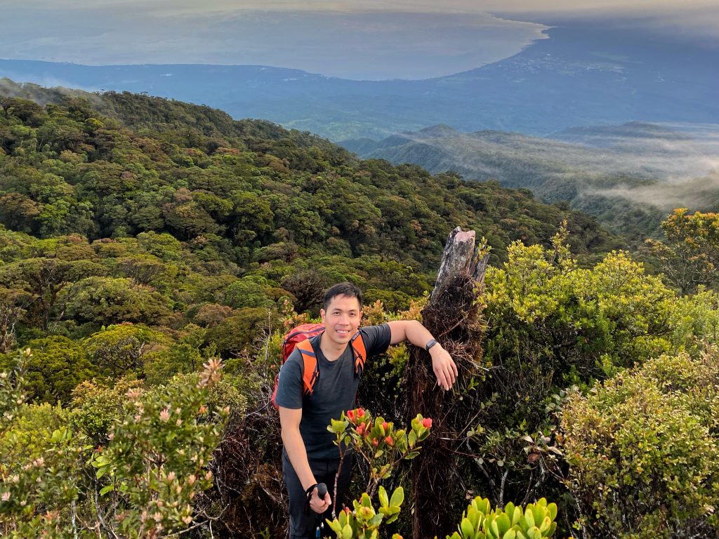
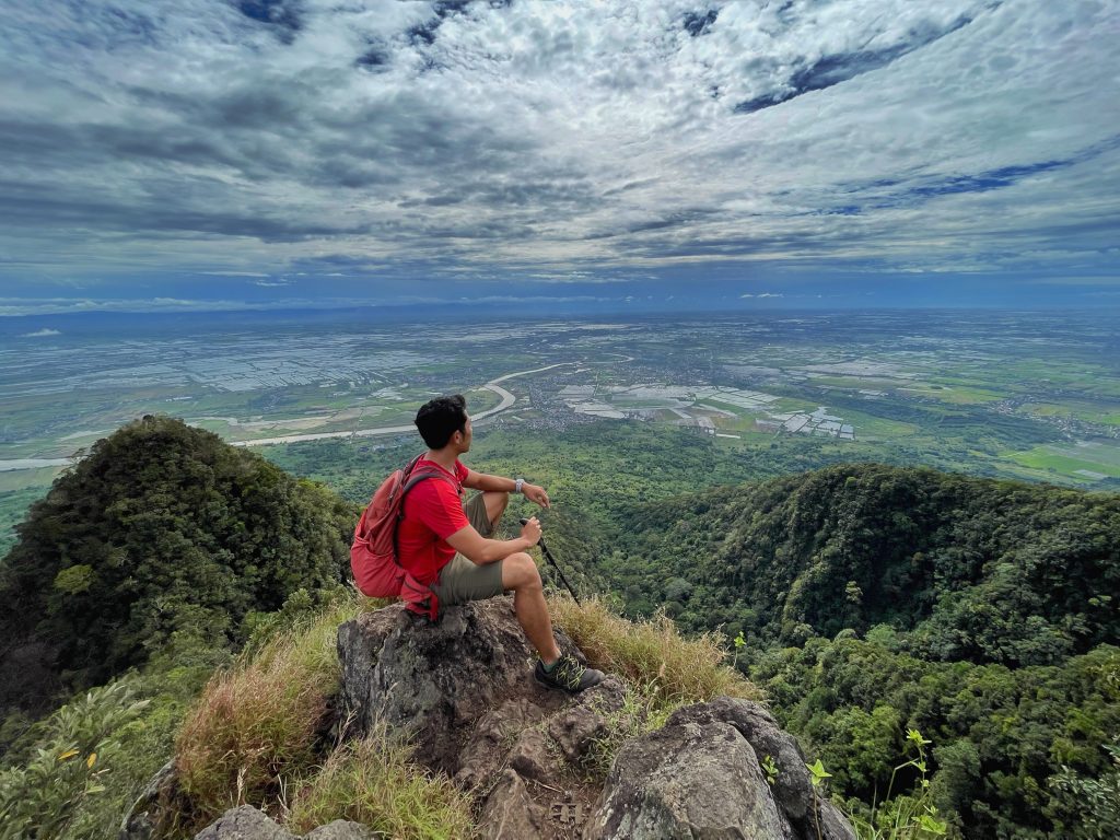
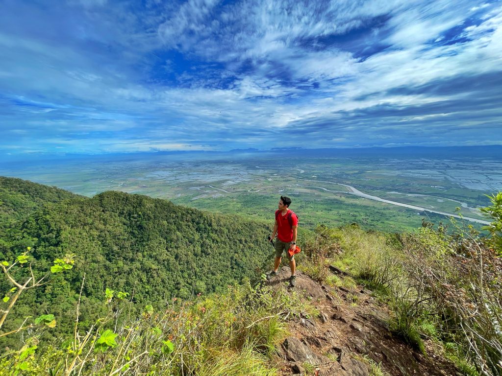
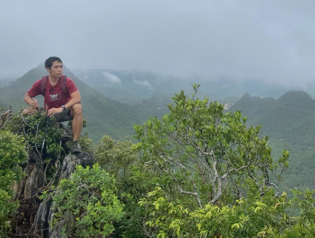
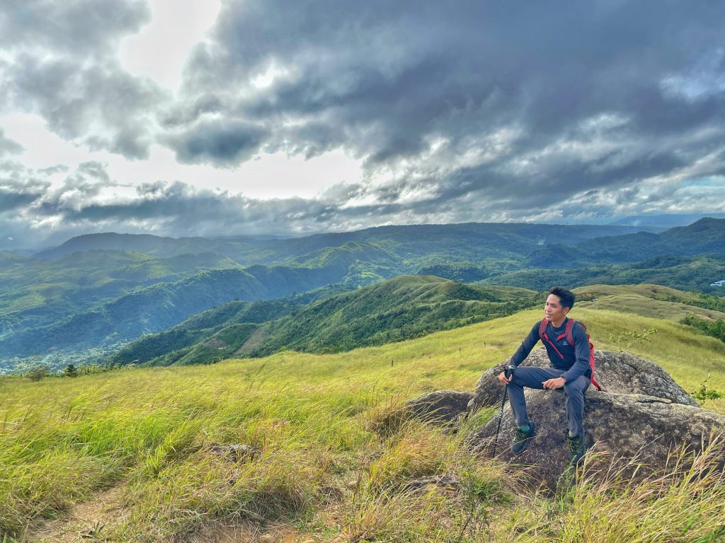
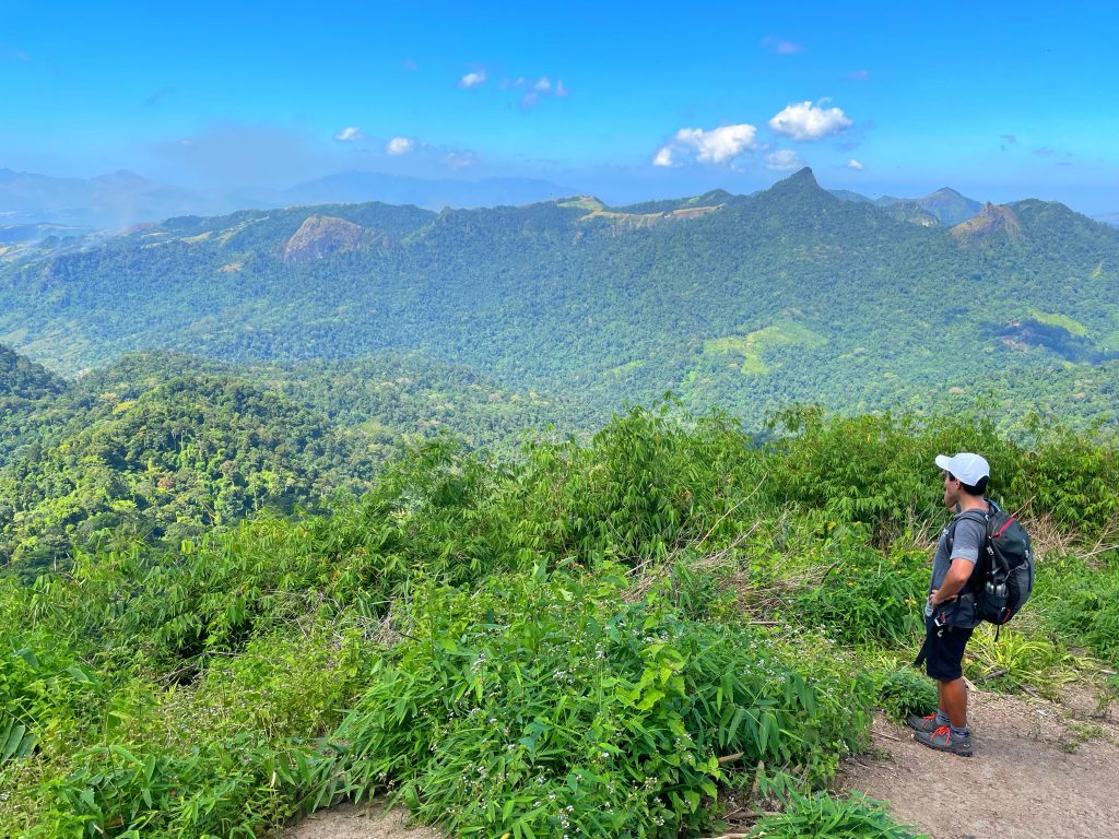
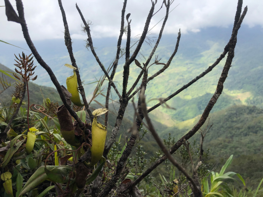
Mt. Kiamo, 1823 MASL, fits this bill. Located within Malaybalay, it is only a habal-habal ride away from the city proper, but it offers a worthy challenge that can consume an entire day – or a more relaxing two days. It also has the scenic ridges of Paminahawa, in fact, even the habal-habal ride is scenic, but it offers much more: a mossy forest – and verdant slopes replete with the fauna and flora that Bukidnon mountains are known for.
Kiamo 3

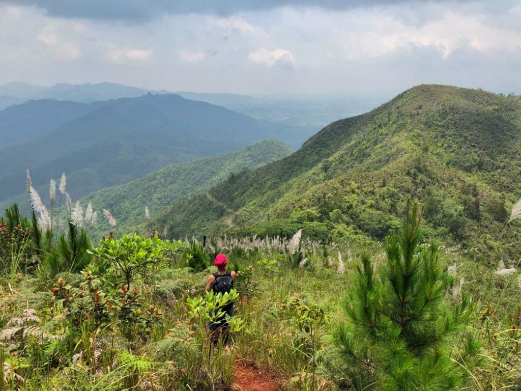
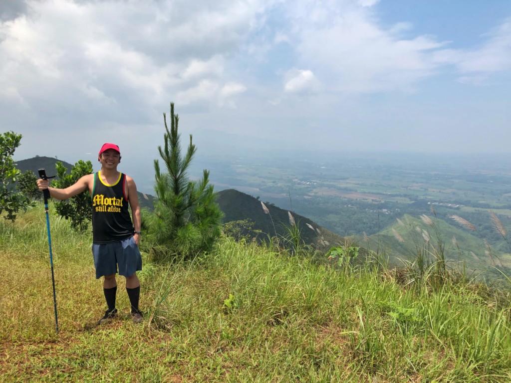
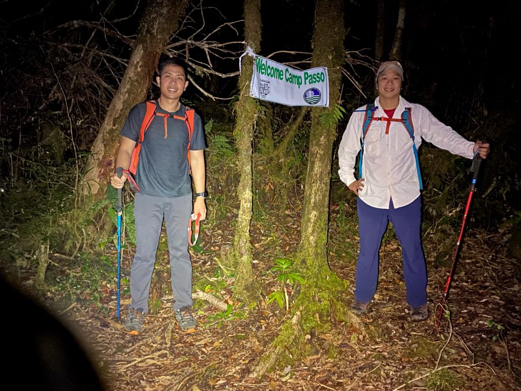
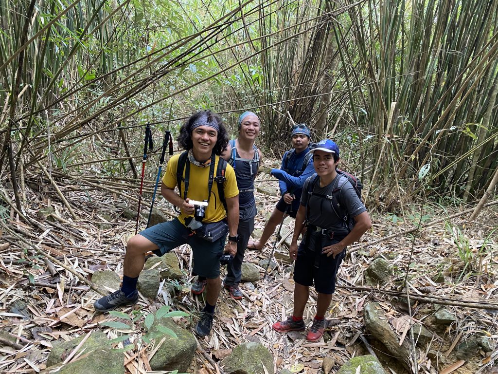
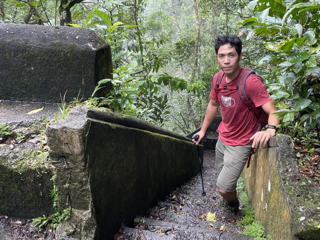
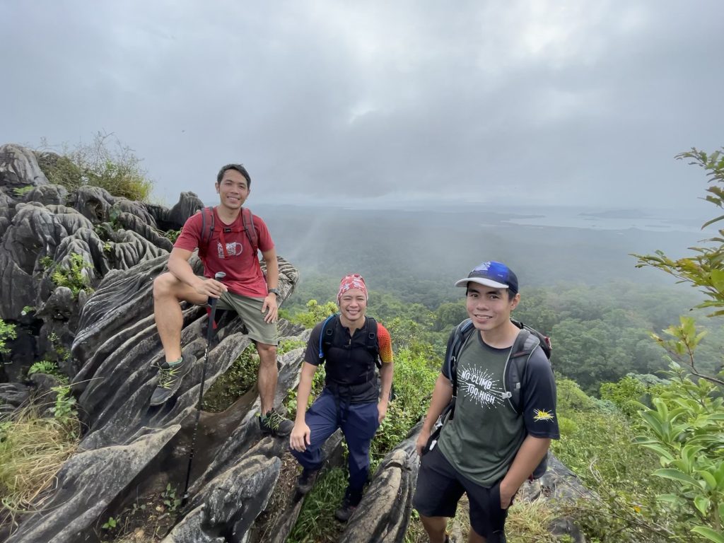
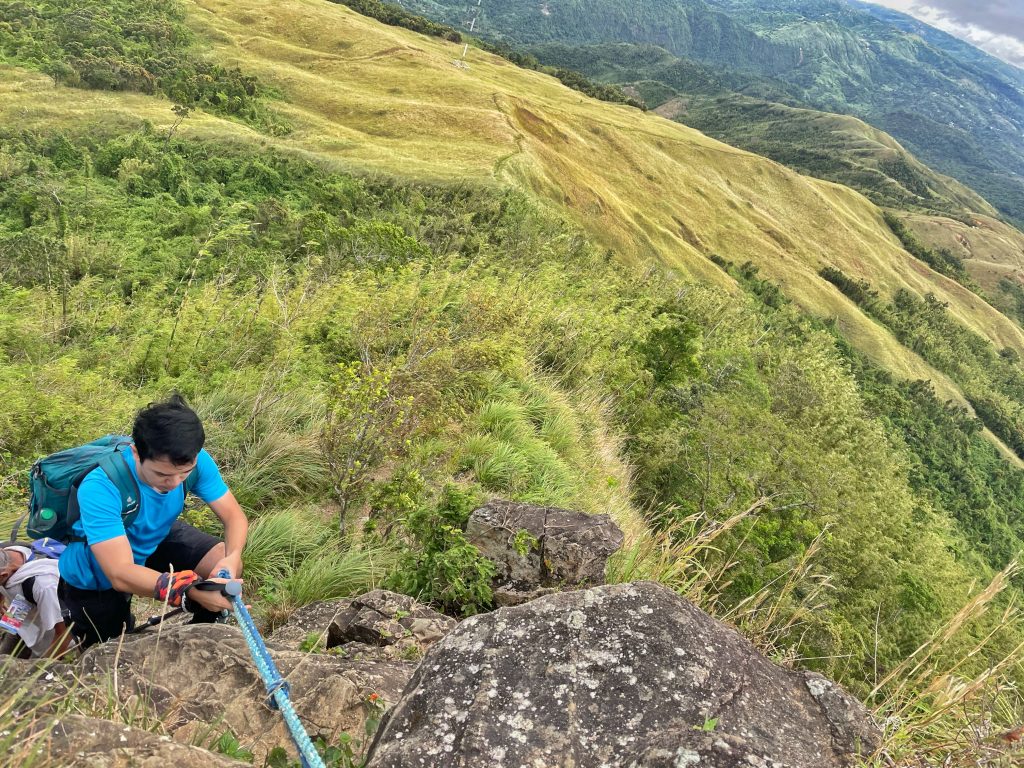
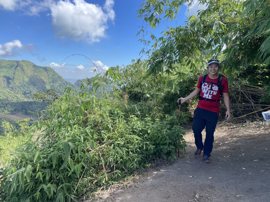
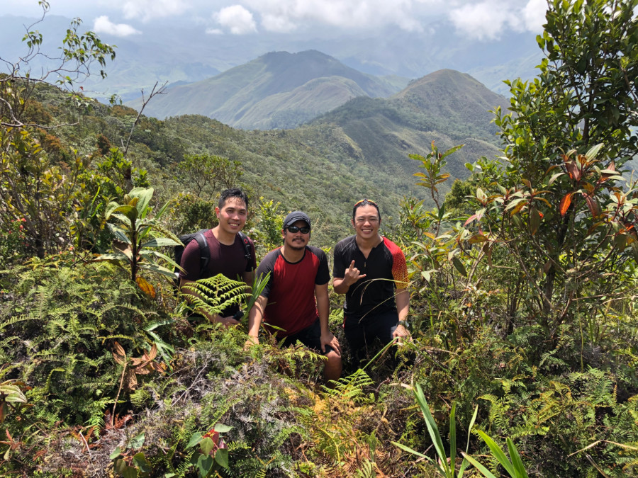
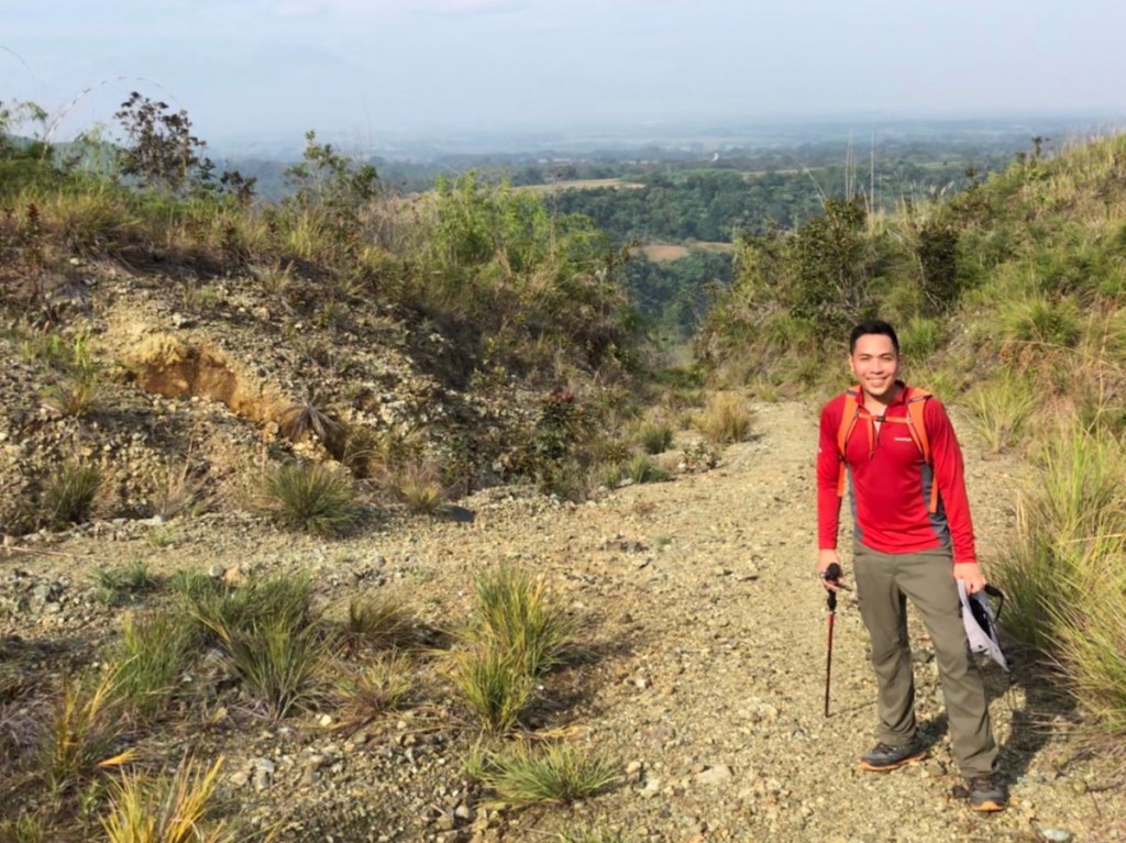
On August 18, 2019, I hiked this mountain with Mijan Pizarro – the legendary Bukidnon explorer and one of the original hikers in Kiamo – and my hiking buddy Daryl Comagon, who had joined me from Manila. We were guided by Edron, the sole pioneer guide of a mountain that attracts only one or two groups per month: sanctuary for those seeking to be far from the crowds. Biding our time with no traffic to worry about it, we started the trek at 1000H – at around 1130 MASL, at the end of the road in Brgy. Kibalabag. The first part was the main challenge: ascending a steep talahib slope to reach the forest lime.
Kiamo 1

Kiamo 6

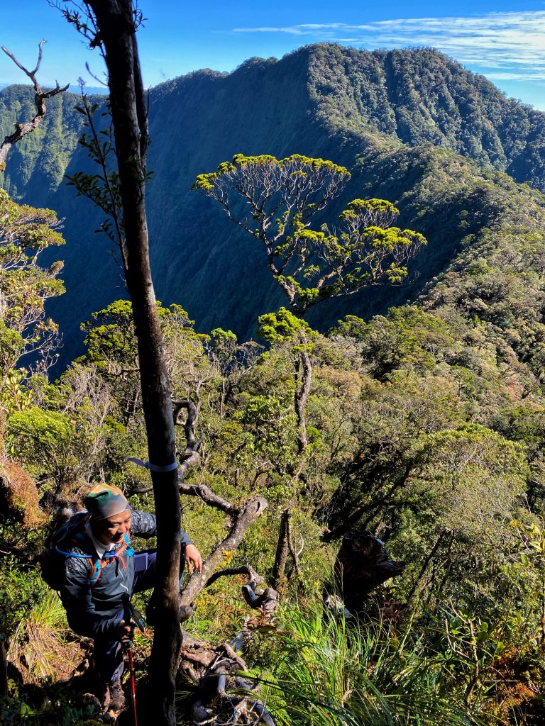
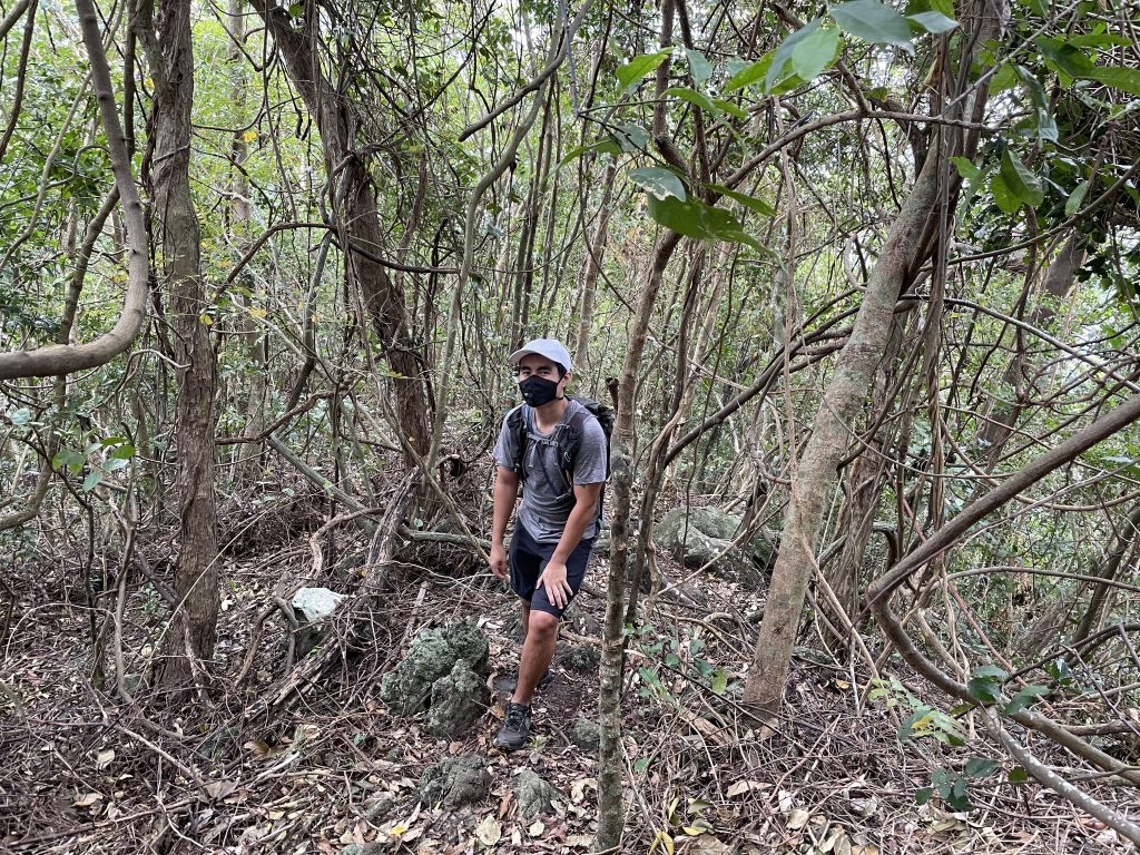
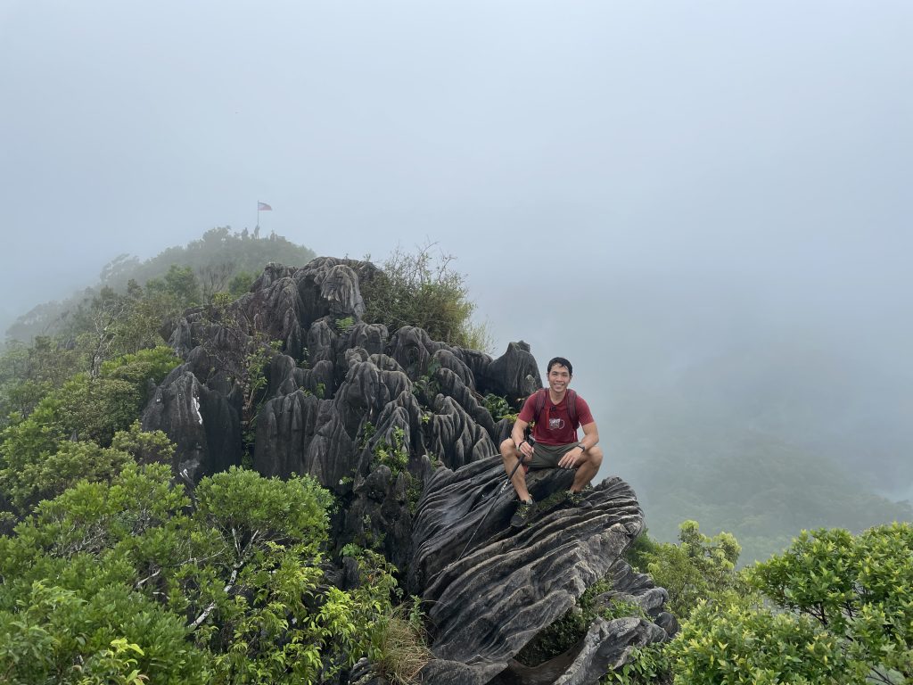
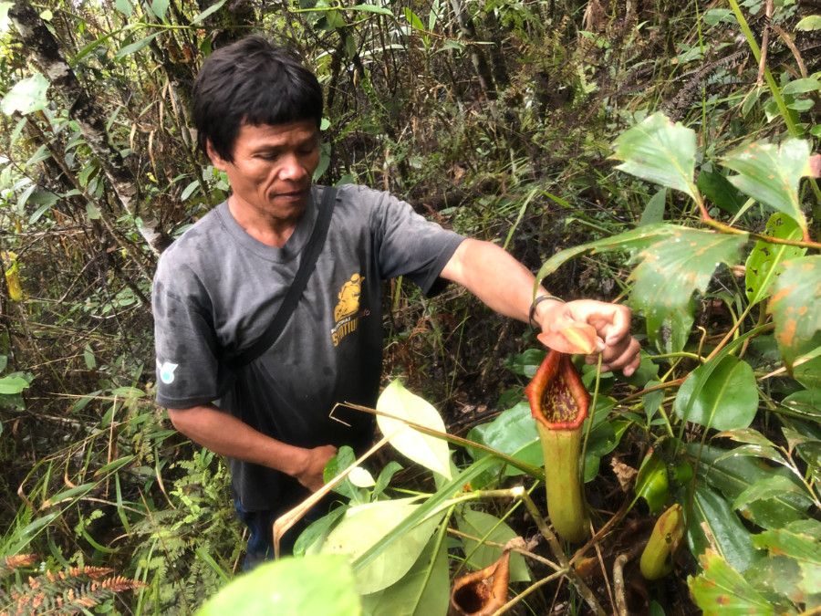
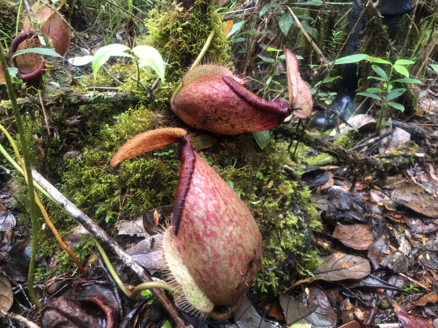
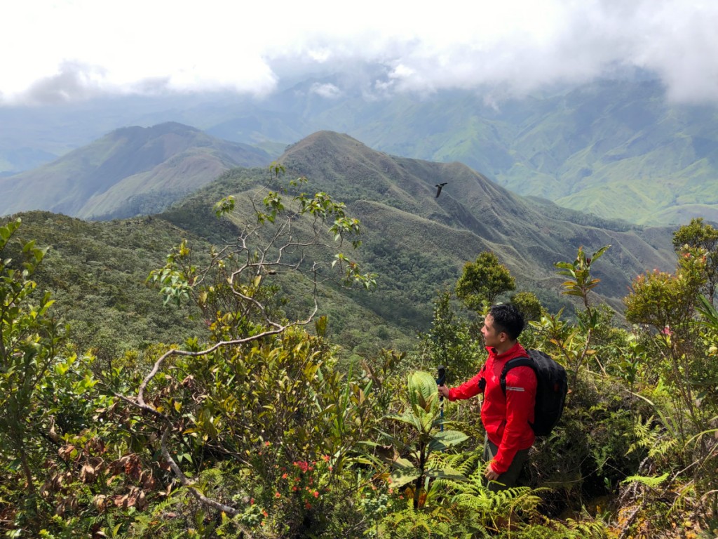
Once we breached the forest line the trail got more relaxed. Edron, who had also accompanied some botanist-surveyors, gladly educated us about the biodiversity of the mountain, pointing to several species of pitcher plants (Nepenthes sp.) found in the mountain’s upper slopes. We also saw a number of avian species: at the summit – which took us around 3.5 hours in total to reach – two Brahminy kites circled around us. The descent was easier, but overall, Mt. Kiamo still made for a challenging-enough (Difficulty 4/9) hike: highly recommended for serious hikers with a day to spare while in Bukidnon!

Kiamo 5

The post Hiking matters #629: Mt. Kiamo, pitcher plant mountain in Malaybalay, Bukidnon appeared first on Pinoy Mountaineer.
Hiking matters #627: Mt. Azumaya (四阿山) in Nagano, Japan

$
0
0

Azumaya 1

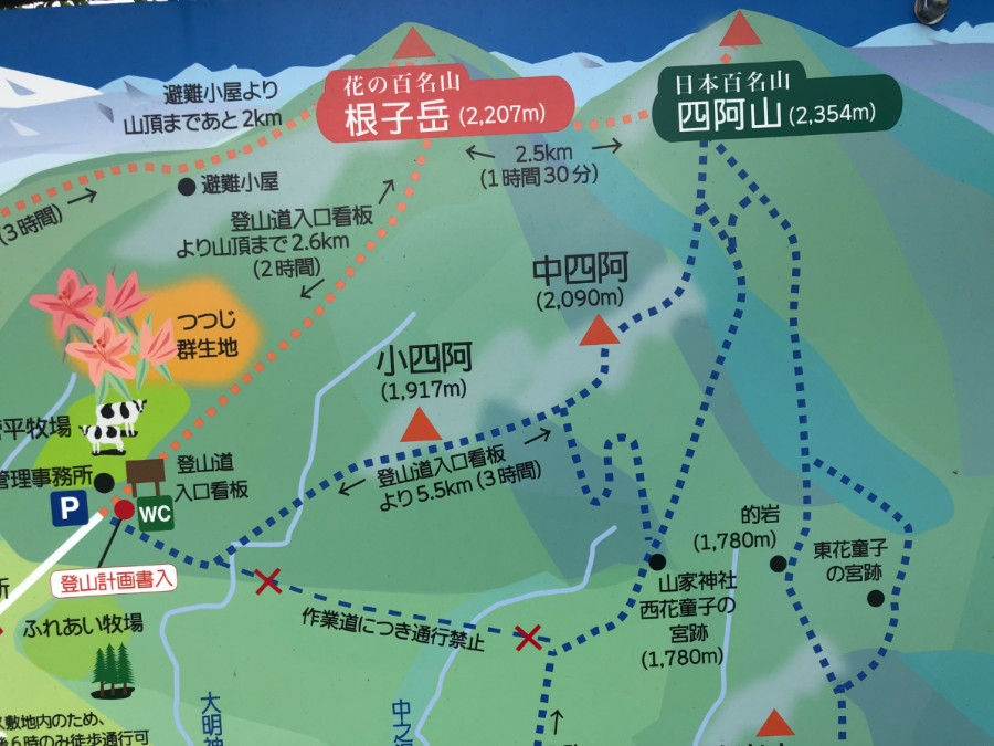
My fifth and last summer hike in Japan – after the rains drowned my prospects of more – was Mt. Azumaya (四阿山)  in Nagano Prefecture. From Nagano, I took the short Shinkansen ride to Ueda, and from there took a bus to Azumaya – a dairy-growing mountainous region. I had doubts about the weather, but in my experience, as long as there’s no real danger (e.g. subzero temperatures), it is better to err on the side of the mountain.

Azumaya 6

Azumaya 5

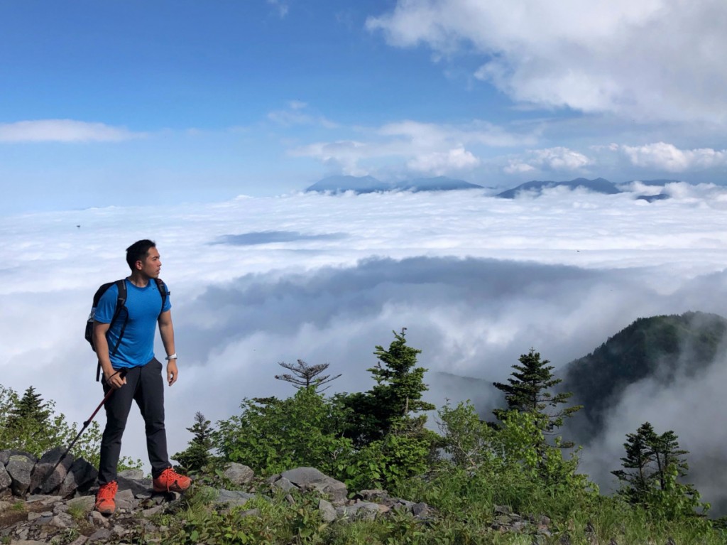
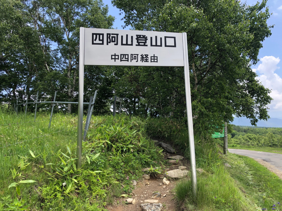
The hike involved a long walk up to the trailhead – almost 40 minutes – and I knew that I was under time pressure, given the bus schedules. And so I did my best to hike as briskly as possible. Thankfully, the trail was beautiful, especially in the upper reaches where forest gave way to Japan’s signature rocky peaks. I reached the summit after 4 hours of trekking – counting the road walk.

Azumaya 4

There was an option to traverse to Neko-dake (Cat Mountain), but with time running out, I decided to just head down the way I went up – reaching the dairy farm by 1700H – right in time to see the cows grazing. I hurriedly headed to the bus stop further down, but but not before I grabbed my post climb reward: ice cream made from farm-fresh milk!   Azumaya 7


Azumaya 8

The post Hiking matters #627: Mt. Azumaya (四阿山) in Nagano, Japan appeared first on Pinoy Mountaineer.
Hiking matters #631: Mt. Daibosatsu (大菩薩嶺) in Yamanashi, Japan

$
0
0

Daibosatsu1
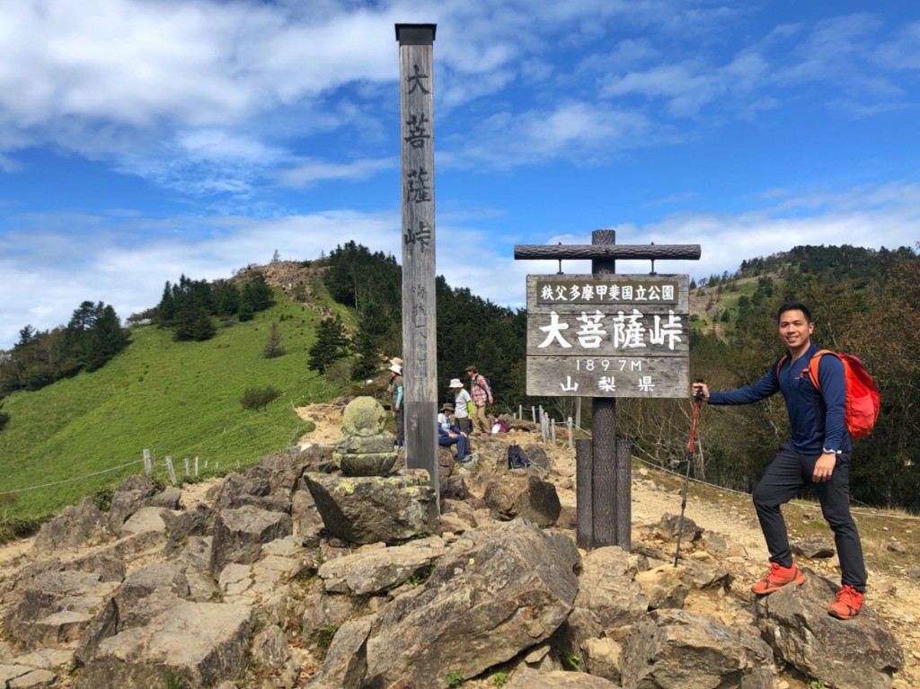
TOKYO – The summer rains drenched my plans to make a Hyakumeizan run – I ended up with 5 instead of the minimum 7 I had set for myself.  So I decided to do some catching up by spending a weekend in Tokyo and climb two of the 100 Famous Mountains that’s within range of Japan’s capital. Once again, I was joined by Jeion Paguio, a Pinoy hiker who works here. The first mountain we aimed for was the 2057-meter Mt. Daibosatsu (大菩薩嶺)  in Yamanashi Prefecture, also within the Chichibu-Tama-Kai National Park(秩父多摩甲斐国立公園) like Mt. Kumotori. To get there I took a train to Kai-Yamato station and then a bus to the trailhead.

Daibosatsu2

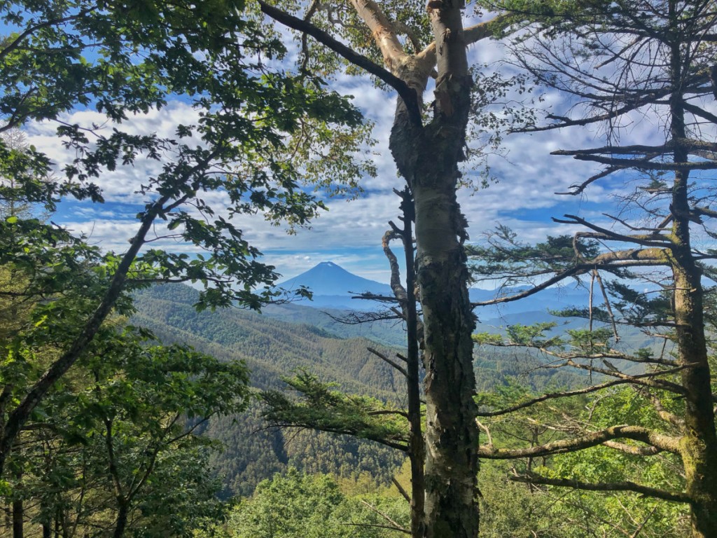
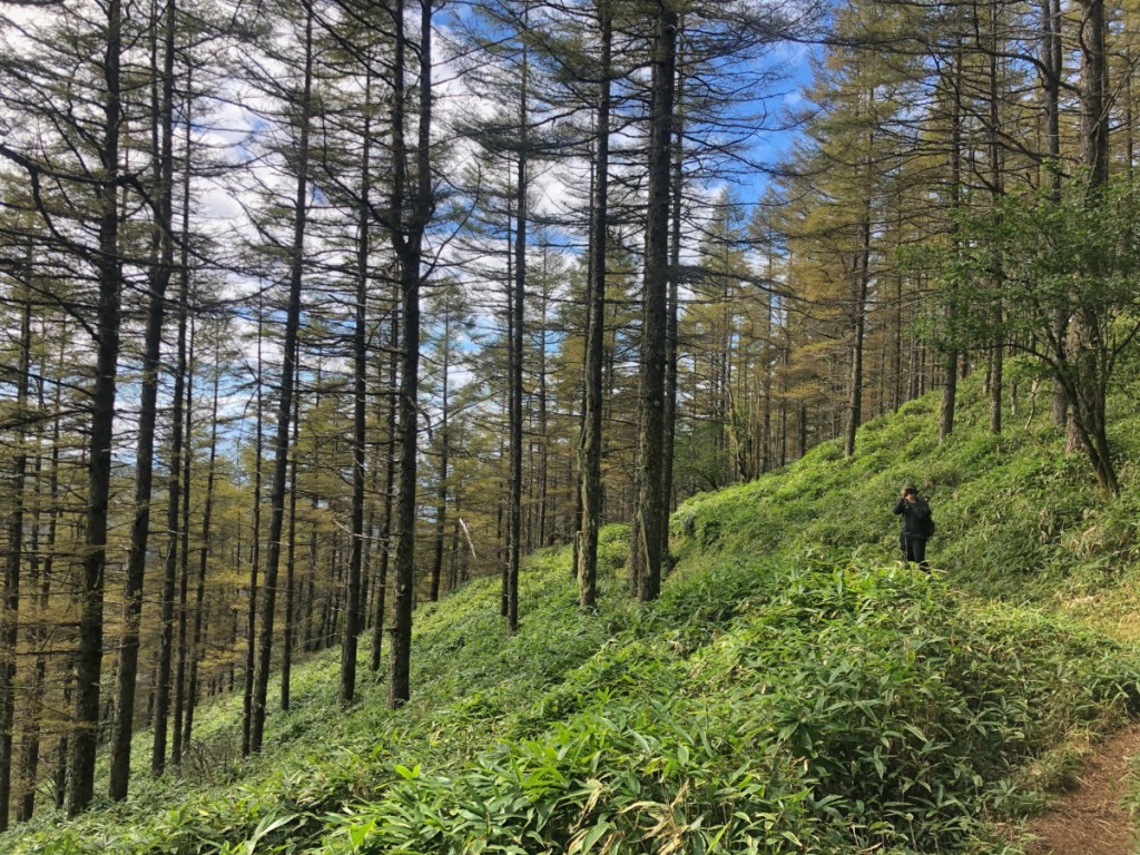
The view was immediately rewarding -as we ascended the pine and beech forest, there was a view of Mt. Fuji – still free of snow, beautifully majestic even from a distance. The hike was pleasant throughout, and even easier than Kumotori or Tanzawa, both of whom I had climbed a couple of years ago as part of the Hyakumeizan quest (I still need to do the traverse of Mizugaki-Kinpu-Kobushi!).

Daibosatsu3

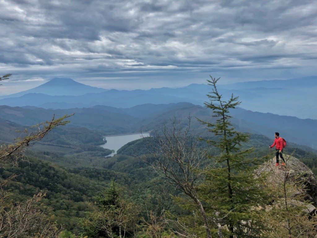
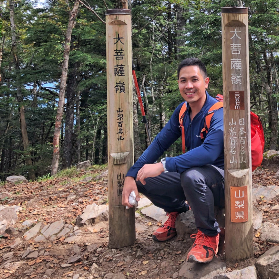
Past the tree line, the view even got more scenic with rock formations offering views of Fuji and the nearby mountains, culminating in the Kaminari Rock. From there, it took just 10 minutes to reach the forested summit of Mt. Daibosatsu, totalling 2.5 hours going up.

Daibosatsu5

Daibosatsu6

From the summit, we took a shorter route, taking less than an hour to reach the trailhead at Kamihikawa pass. Altogether, it was a very rewarding hike – one that I wish I had discovered earlier! The adventure continued the next day with Mt. Amagi in Izu Peninsula (see Hiking matters #632).

Daibosatsu4

Here’s the actual itinerary of our Mt. Daibosatsu (大菩薩嶺) dayhike. The train and bus fare combined cost around 6000 JPY:

0601 Take train from Ueno Station
0803 Arrival at Kai-Yamato 甲斐大和駅
0810 Take bus from 甲斐大和駅 to 上日川峠
0851 Arrival at 上日川峠
0900 Start trek Kamihikawa pass
0925 Fukuchan-sou
1045 Kaminari rock
1100 Mt. Daibosatsu
1200 Daibosatsu pass
1235  Fukuchan-sou
1300 Kamihikawa pass. Take return bus
1345 Back at Kai-Yamato Station
1423 Departure Kai-Yamato
1634 Back at Ueno Station

The post Hiking matters #631: Mt. Daibosatsu (大菩薩嶺) in Yamanashi, Japan appeared first on Pinoy Mountaineer.
Hiking matters #632: Mt. Amagi (天城山), the highest peak in Izu Peninsula, Japan

$
0
0

Amagi1
TOKYO – A day after climbing Mt. Daibosatsu, I continued my weekend hiking by heading down to Izu Peninsula and climbing the highest mountain there: the 1405-meter  Mt. Amagi (天城山) – yet another of the veritable Hyakumeizan or Japan’s 100 Famous Mountains. This time around, Jeion and I were joined by my longtime hiking buddy Chris and Aldwin, a Pinoy hiker also from the Tokyo area. We met up in Ito Station and took the 55-minute bus ride to the trailhead, Amagi Kogen Golf Course.

Amagi Hike1

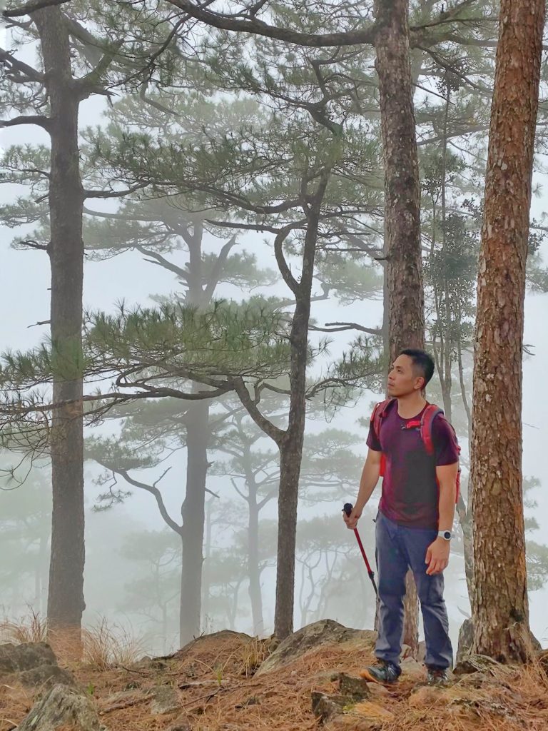
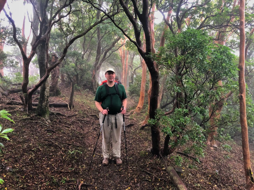
From the weather forecast I knew that it would be a rainy day – it was in fact drizzling as we arrived at the trailhead. Fortunately, it did not persist and the cloudy, misty environment only accentuated the beauty of the forests for which Mt. Amagi is famous.


Amagi Hike2

No more than 20 minutes from the trailhead, there is fork where one can choose to ascend Mt. Banjiro first en route to Mt. Banzaburo (the summit) – or approach the summit directly.  We chose the former and I think it’s the more sensible route given the direct trail to Banzaburo is steeper and far less established – as we would find out on the way down.

Amagi Hike3

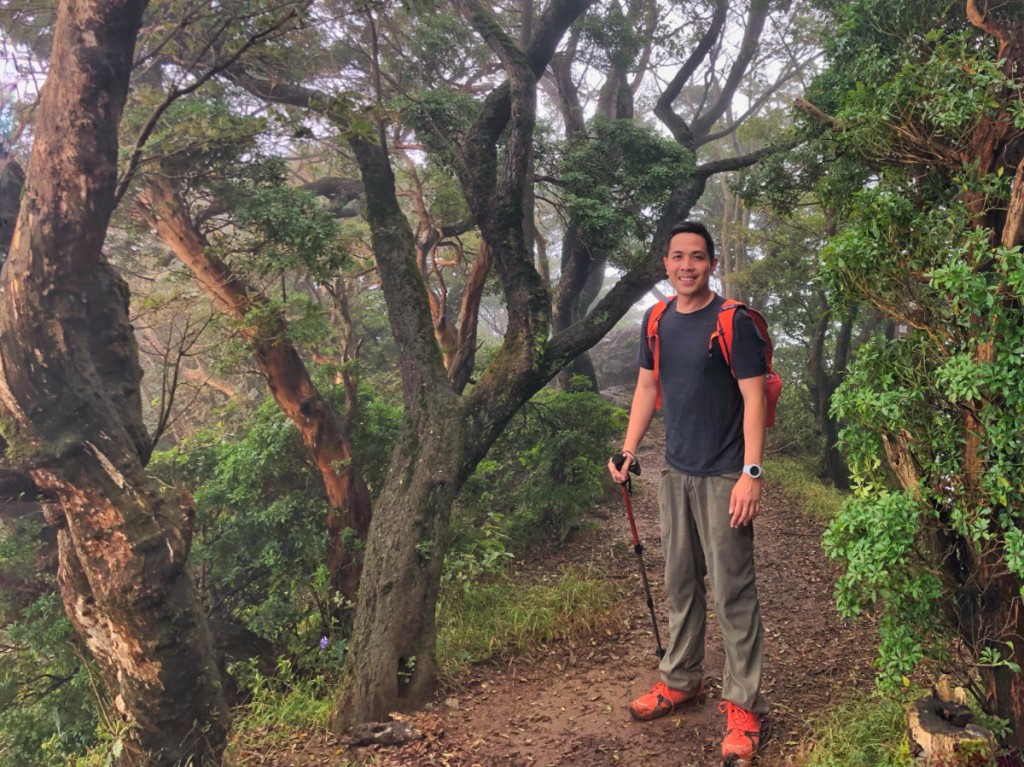
To ascent up Mt. Banjiro was fairly straightforward and so was the connecting trail to Mt. Banzaburo – though it had its fair share of ups and downs, there were beautiful segments including the tunnel of Andromeda shrubs – for me the highlight of the entire trail. As with Mt. Daibosatsu the previous day, the summit was forested. Had it been a sunny day, Mt. Fuji would have been visible in some of the trail segments, but I was just happy to have a mostly dry, not too slippery hike in a beautiful forest.

Amagi2

The descent, as mentioned earlier, was quite tricky – some parts of the trail clearly need some maintenance – but we still made it in good time, reaching the Golf Course in time for the 1610H bus. And so goes my 32nd Hyakumeizan – thankfully, another successful one! Sadly, I only have time for two mountains, but I am already looking forward to the next Japan hiking trip!

Amagi3

Our actual itinerary – Mt. Amagi dayhike from Tokyo (Train faire around 4500 JPY and roundtrip bus fare 2000):

0654 Ueno
0659 Tokyo
0859 Atami
0925 Ito (伊東駅) Take bus to Amagi-kogen
1010 Bus
1105 Arrival at Amagi Kogen Golf Course (trailhead right behind)
1150 ETA Mt. Banjiro (second highest point)
1340 Arrival at Mt. Banzaburo (highest point)
1400 Start descent
1600 Back at
1610 Bus back to Ito Station
1705 Back at Ito
1721 Train to Tokyo via the Chuo Line
1951 ETA Ueno

BETWEEN SUMMER AND FALL 2019 
Hiking matters #631: Mt. Daibosatsu, Yamanashi
Hiking matters #632: Mt. Amagi, Izu

The post Hiking matters #632: Mt. Amagi (天城山), the highest peak in Izu Peninsula, Japan appeared first on Pinoy Mountaineer.
Hiking matters #630: Mt. Kibuwa via the ridges of Impasug-ong, Bukidnon

$
0
0

Kibuwa2

More and more hikes are emerging in Mindanao, not just the grand multi-day climbs up the big mountains, but dayhikes that everyone can enjoy. Generally speaking, this is a welcome development, but my only reservation with this trend is that it comes with very steep registration and guide fees – even with very short and easy hikes – with little or no regulation or accountability as to their collection, distribution, and use.

Kibuwa1

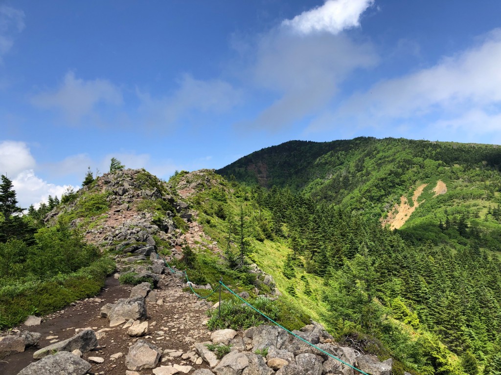
Even so, as I had been spending some time in Malaybalay doing research I thought it was worthwhile to check out the ridges of Impasug-ong – which my friend Daryl had checked ahead of my most recent trip. Taking a multi-cab from Malaybalay we dropped off somewhere along the highway in Impasug-ong and took a route, marked on open source maps, that brought us through the periphery of the ridges – Paminahawa, Kapayawan, Gulapon, and Kaanibugan on route to the summit of Mt. Kibuwa, at 1194m the highest point in the vicinity.

Kibuwa5

The trail was mostly open – scenic at dusk and dawn, avoided by most visitors during daytime – but also indicative of the deforestation in the area brought about in no small part by the plantations. Reminiscent of the rough roads of Mt. Ago, the trail offers opportunities to go down the ridges should one wish to, as it courses through the slopes of Mt. Kibuwa.

Kibuwa4

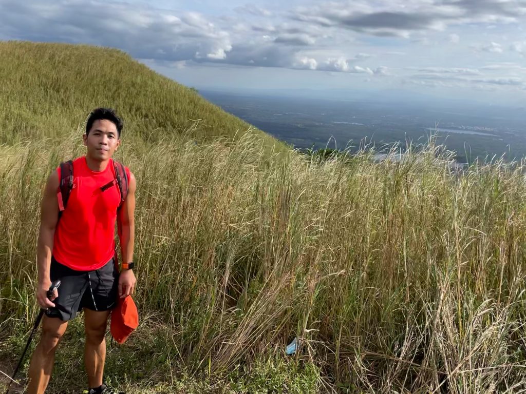
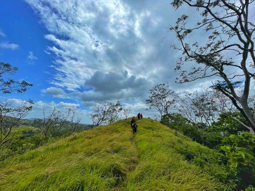
As a pleasant surprise, there is a short but sweet (i.e. steep) ascent to reach the grassy, Kalinsungan-like summit, making it feel like a proper mountain hike as compared to a ridge walk – reaching a respectable elevation of 1194 MASL. Ultimately, it was a worthy – and relatively easy – hike that’s very accessible from Malaybalay, Valencia, or even Cagayan de Oro!

Kibuwa3

The post Hiking matters #630: Mt. Kibuwa via the ridges of Impasug-ong, Bukidnon appeared first on Pinoy Mountaineer.
Hiking matters #634: A late autumn hike up Mt. Ryokami (両神山) in Saitama, Japan

$
0
0

Ryokami 4

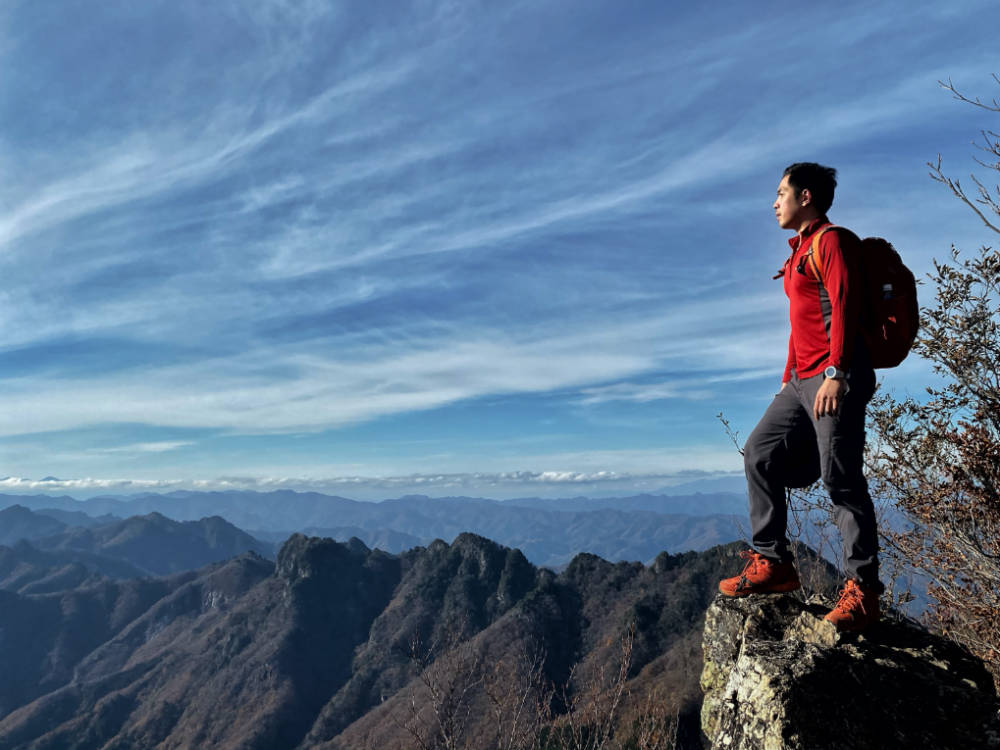
TOKYO – Capping off my year of hiking in Japan, I managed to push for a hike up the 1728-meter Mt. Ryokami (両神山) in Saitama – my 33rd of the Hyakumeizan! Given the season, I was not very confident venturing out to the Alps on my own (e.g. Mt. Tanigawa, Myoko-Hiuchi) and I actually thought that I had run out of options within range of Tokyo. Fortunately, I realized that I hadn’t climbed Ryokami yet – a mountain which I didn’t consider in the past given that its access is by a non-JR train and is therefore not covered by my lifeline whenever I’m hiking in Japan: JR passes.

Ryokami 1

Joining me was Aldwin Guerra, a Pinoy hiker based in Tokyo. From Tokyo, we went to Ikebukuro and took the Seibu train to Chichibu, and then we boarded the bus to Ryokami-Chosha where we hoped to connect with another bus to the trailhead, Hinata Oyaguchi (日向大谷 ). Unfortunately, due to the recent typhoon the bus couldn’t go all the way to the trailhead and we had to walk part of the road – setting our itinerary back by two hours.

Ryokami 2

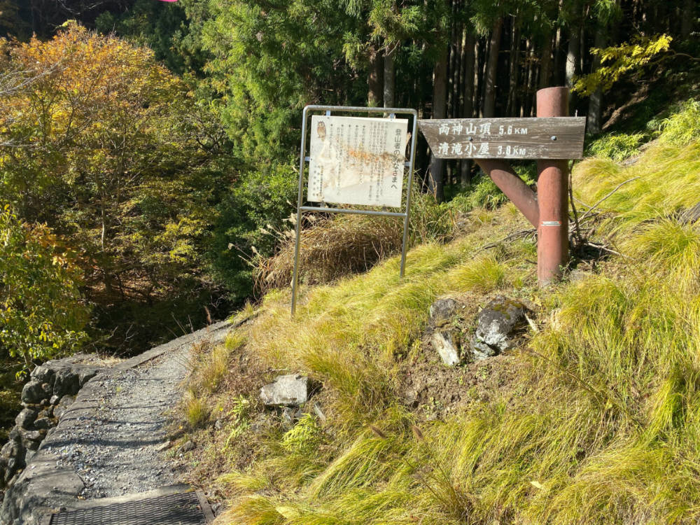
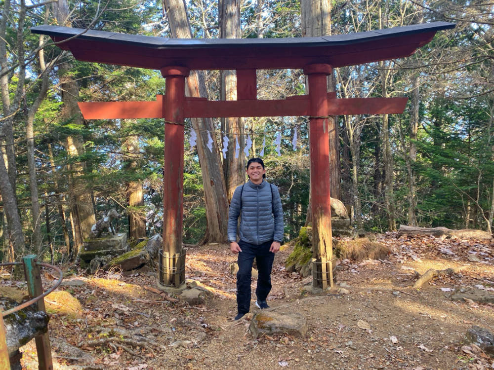
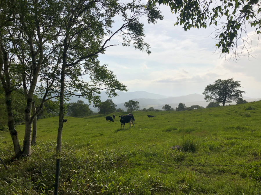
Despite this logistic setback, we were blessed with blue skies and determined to reach our goal of Mt. Ryokami’s summit. And so we started walking from the road at. 0940H, arriving at the trailhead at 1040H and plowed ahead, barely stopping, until we reached the landmarks of the hike: a hut called Kiyotaki-goya and the Ryokami Shrine (両神神社) that marks that start of the Ridgeline that connected to the summit. The hike courses along the Usukawa River (薄川) to reach Kiyotaki-goya (清滝小屋) and has some rocky parts but is otherwise straightforward and enjoyable.

Ryokami 3

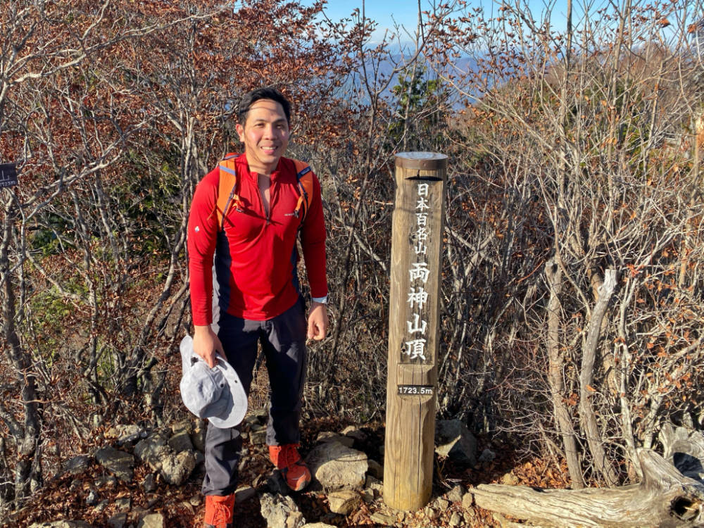
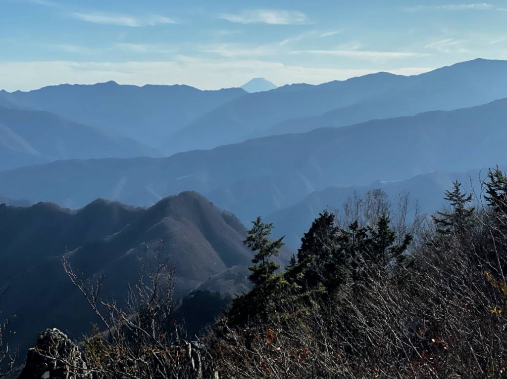
By 1325H, we reached Ryokami Shrine and with only 100  meters of altitude gain left, we knew we couldn’t be too far. Finally, at 1358H, we reached the summit! Unfortunately, we had a very limited time to enjoy the views (we were hoping to catch the 1739H bus and so we stayed at the peak for only a few minutes. Our great reward was a view of Mt. Fuji peeking from Mt. Kumotori and the rest of the Okuchichibu Mountains. On the way back, we missed the bus by 6 minutes! Thankfully, a group of hikers from Yokohoma gave us a ride back to Ryokami Chosha 両神庁舎 and we managed to catch the last bus back to Chichibu en route to Tokyo.

Ryokami 5

The post Hiking matters #634: A late autumn hike up Mt. Ryokami (両神山) in Saitama, Japan appeared first on Pinoy Mountaineer.
Hiking matters #633: Mt. Mitake (御岳山) and Mt. Hinode (日の出山)

$
0
0

Mitake Hinode 3

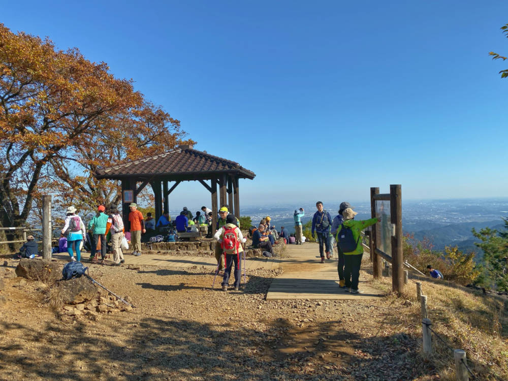
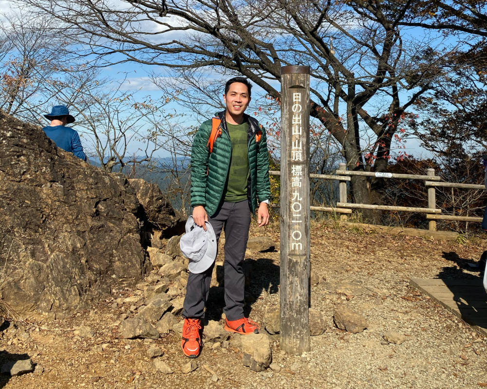
It was late autumn in Tokyo and I wasn’t sure how cold the mountains have become so to test the waters I decided to do an easy dayhike of Mts. Mitake and Hinode in Okutama -within easy range of Tokyo. Popular among the city dwellers but not as popular as Takao or Tsukuba, I also wanted a warm up in case I decide to attempt a tougher hike the following day.

Mitake Hinode 5

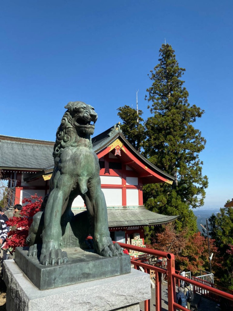
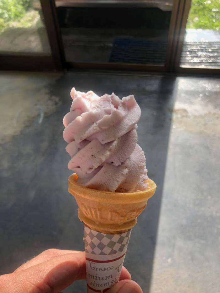
Mitake, as it turned out, was a perfect venue for a short excursion. From Mitake Station I took a bus to the cable car station and got off at the end, expediting the Mitake part of the hike. The highlight of Mt. Mitake itself was the Musashi Mitake shrine 武蔵御岳神社 which sat on the very summit, which holds a respectable altitude of 929 MASL.

Mitake Hinode 4

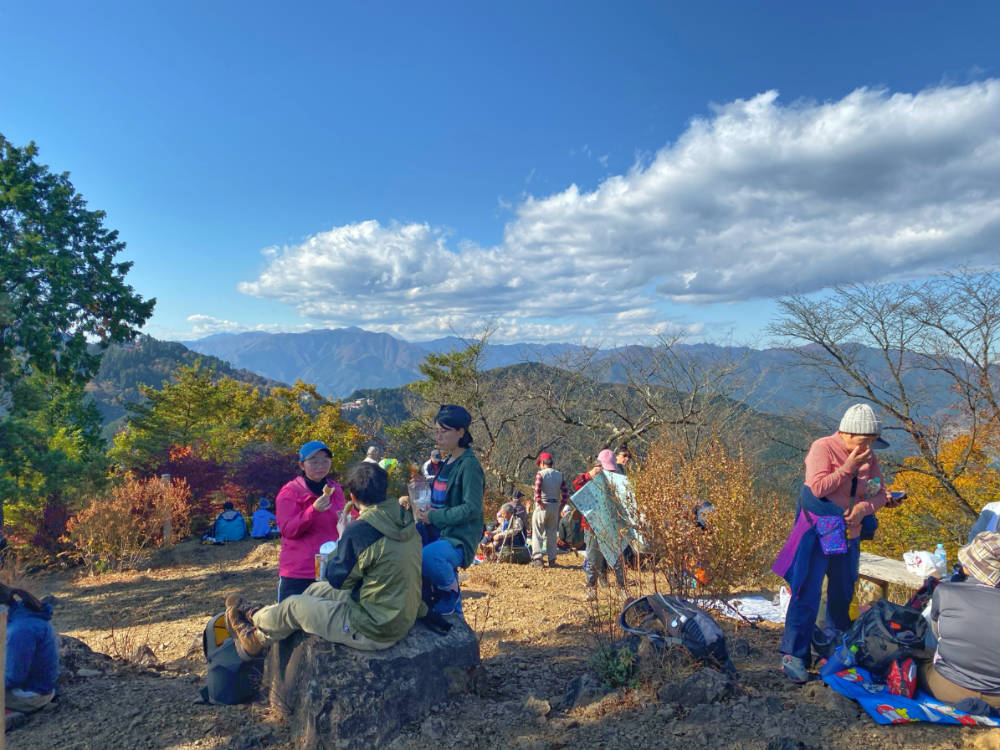
From Mitake to Hinode, the path was easy – often cemented – offering great views of the Tokyo skyline and Kanto plain. As with many Japanese peaks, people were enjoying their lunch when I reached the peak. Although a bit lower than Mitake at 902 MASL, Hinode was more quiet and scenic.

Mitake Hinode 2

There were various trails to descend and I just choose  the one that took me fastest – I ended up on an abandoned road and reached a train station – Ikusabata – after 2 hours of walking. With a total of 3.5 hours of trekking time, I felt warmed up and enthused for a longer hike the next day: Mt. Ryokami!

Mitake Hinode

The post Hiking matters #633: Mt. Mitake (御岳山) and Mt. Hinode (日の出山) appeared first on Pinoy Mountaineer.
Hiking matters #636: Easy hikes near Baguio City – Mt. Yangbew

$
0
0

Over the past few years I have gone up and down Baguio City and while I would normally hope for a decent hike – at the very least a dayhike of Pulag or Ugo – sometimes I would have to settle for just a relaxing break in the City of Pines. Even so, it’s great to hike even just for a short period of time.

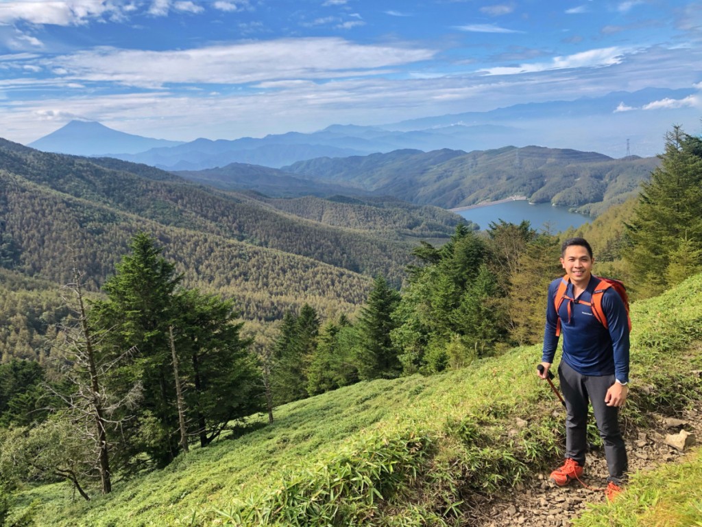
The usual candidate for such a short hike is Mt. Ulap, and while I love its trail, it can be overcrowded, and there are times when the time is too limited even for the trip to Itogon. Moreover, there are times when you may want to hike with kids or non-hikers. In which case, some options emerge – including Mt. Yangbew., which I visited recently with my friends Christine and Cynthia.

Located in Brgy. Tawang in La Trinidad, Mt. Yangbew is just a cab ride away from Baguio City (depending on where you are, fare can cost around 150-250 pesos). After a short and steep cement road, the trail turns into a gentler footpath that winds its way to a vast scenic plateau that offers views of the Cordilleras. There are additional trails within the plateau or those that lead to nearby Mt. Kalugong. Like Ulap, Mt. Yangbew can also be crowded on weekends but it can make for a nice (and very short) trek when in Baguio!

The post Hiking matters #636: Easy hikes near Baguio City – Mt. Yangbew appeared first on Pinoy Mountaineer.

Hiking matters #638: Mt. Salumagayon dayhike in Alubijid, Misamis Oriental

$
0
0

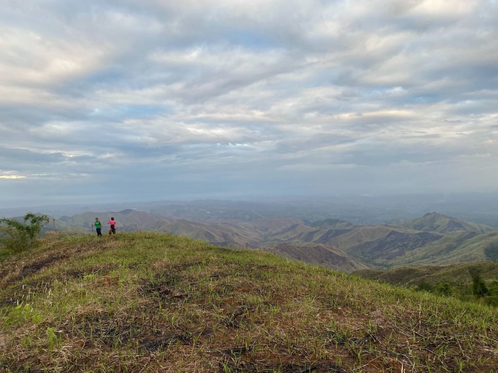
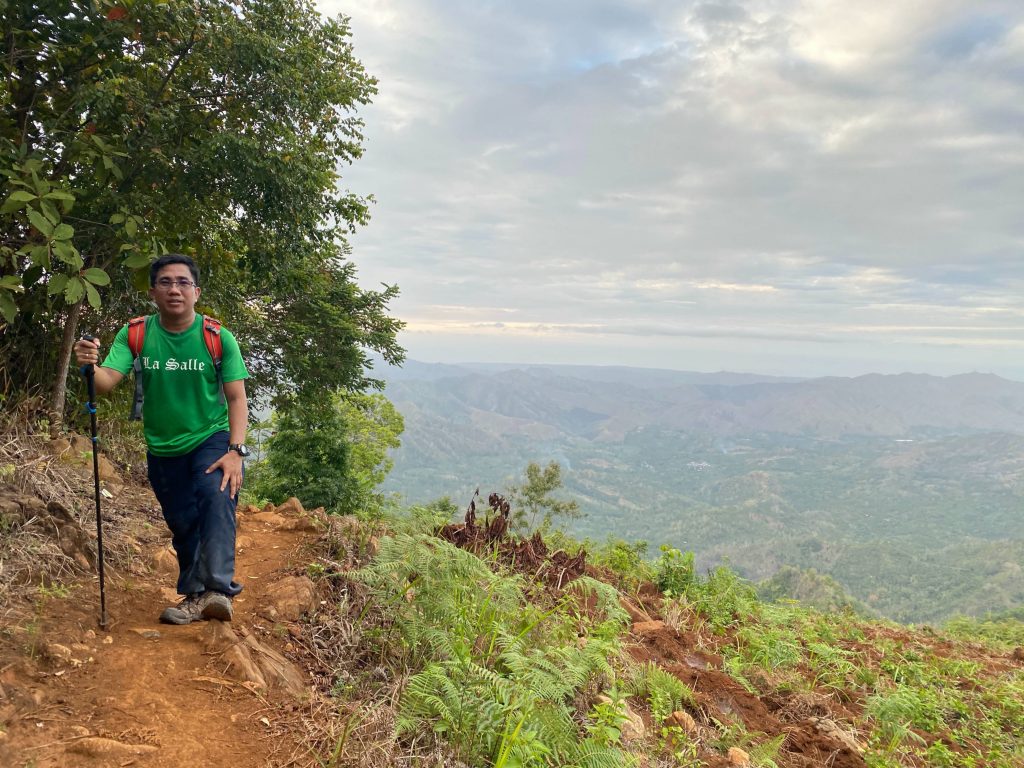
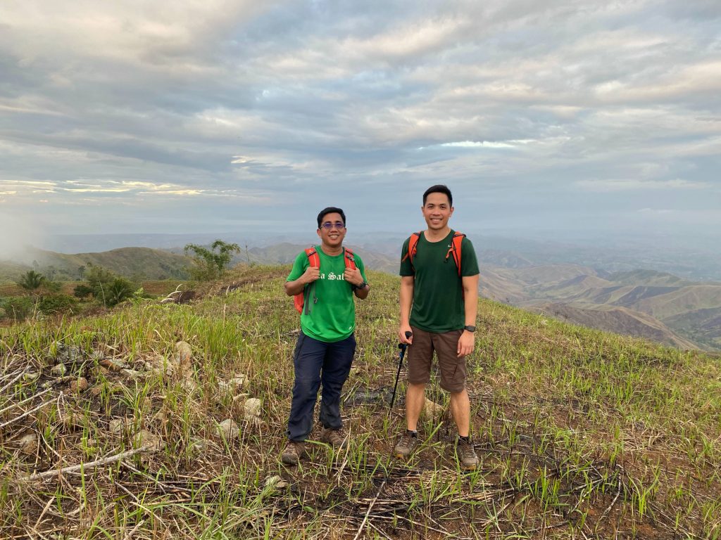
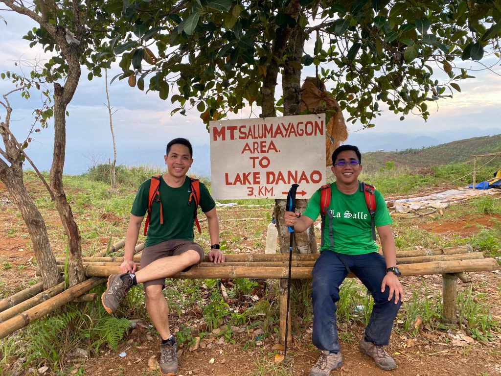
I really had no plans to climb that day, but when I accidentally bumped into Dean  Tony Gutierrez in Cagayan de Oro, and he invited me to join him on a dayhike, I thought, why not? Anyway, I was just planning to rest after our Mt. Balatukan climb. And so we took a cab, and then a habal-habal, to the rugged barangays of Alubijid that reminded me of Mt. Nahilaran, another CDO-based hike. It was already 1600H when we started the hike, and I had a flight to catch back to Manila that night, so we had a short window.

Thankfully, the folks in the barangay were cooperative, and I were able to hike right away, with a guide at hand. We proceeded at a steady pace in an partially-wooded trail with some switchbacks that soon led to the peak. I would compare it, in terms of difficulty, to Maculot or Manabu Peak: an easy dayhike, but a decent one nonetheless. The summit was open, so it was a blessing that we were doing the hike in the late afternoon:

I guess the only drawback is that we had to miss out on Lake Danao, which is one of the main attractions in the area – even if the locals say that the lake is a bit dry these days. Still, it was better than just a lazy day in CDO!

The post Hiking matters #638: Mt. Salumagayon dayhike in Alubijid, Misamis Oriental appeared first on Pinoy Mountaineer.
Eulogy: Edwin Gatia, pioneering mountaineer and community builder (1954-2020)

$
0
0

Today, the mountaineering community wakes up to the deeply saddening news that Edwin V. Gatia, one of our great heroes and inspirations, has passed away.

Born on July 30, 1954, Sir Edwin – a native of Bacolod City – was one of the key figures during the pioneering years of mountaineering in the country, and his commitment to the mountains – and to his fellow mountaineers – has continued throughout his life. Among many other feats, he was among the first four climbers to ever reach the summit of Mt. Guiting-Guiting in 1982, and in our decade-long correspondence, he has spoken to us fondly of hikes all over the world, including Jade Mountain in Taiwan in 1983, and Mt, Kinabalu on the same year. The following year, on the year that he climbed Yarigatake, a columnist described him as “undoubtedly the Philippines’ best known mountain climber”. 

Asked what brings him to the mountains in the 1980s, he simply replied: “There seems to be no definite and exact answer to that question,” adding that despite the motivations that are impossible to articulate, people like him are driven to the summits: “There have been others, who, like me, had struggled their way to reach the top, spending a lot of previous time, money and effort – all in exchange for those brief and fleeting moments of triumph on a mountain peak.”

When I interviewed him in 2008, he echoed similar sentiments, but also said: “There’s something out there, in the mountains, that fulfills the human longing for adventure.”

Beyond his hiking exploits, Sir Edwin – a math major and holder of a Bachelor of Arts degree – was a consummate community builder, serving as founding father of various organizations, including the Philippine Mountaineering (PMS) Society in 1977, the Mountaineering Federation of the Philippines (MFPI), and the Negros Mountaineering Club (NMCI). In recent years, he has reached out to younger generations with such generosity of spirit, and he has mentored so many hikers that I am sure his legacy will live on for many years.

He was never shy about his health problems, but he maintained his positive outlook – with the mountains always on his mind. “I had a mild stroke last month, but thinking of pushing my plan for a winter alpine ascent in Japan,” he told me last year; he remained a presence on the trails in his final years, even embarking on a Nepal trek in 2014, of which he shared fond memories. For him to succumb to the same illness today is a matter of great sorrow for which we join family and friends in condolences, but when I think of the way he described the peak of Mt. Guiting-Guiting, I would like to think that he can use the same words to describe where he is right now:

“Highly exhilarating.”

Thank you, Sir Edwin. Thank you so much. Your memory will be cherished, your life remembered, and your mountaineering career celebrated – with much appreciation and gratitude.

Los Baños, Laguna
March 12, 2020

The post Eulogy: Edwin Gatia, pioneering mountaineer and community builder (1954-2020) appeared first on Pinoy Mountaineer.
Hiking matters #637: Finally, Mt. Balatukan! A great mountain in Northern Mindanao

$
0
0

In May 2012, after doing the first-ever Sumagaya-Lumot dayhike, my friends and I were face to face with Mt. Balatukan, but because of security reasons we decided not to push through with another hike. Little did I know that it would take almost eight years for me to finally climb Balatukan in what turned out to be another exciting traverse dayhike in Northern Mindanao. Accompanying me from Cagayan de Oro, where we had been doing research fieldwork, was my hiking buddy Daryl Comagon.

From Cagayan de Oro, we went to Gingoog City and took a habal-habal to Brgy. Kalagonoy, and after spending just a couple of hours sleeping, we commenced the hike at 0100H. As in Lumot-Sumagaya, the trail was mostly forested, only giving way to some pockets of open spaces in the higher reaches. At its best, the trail is reminiscent of the Kitanglad Range with its majestic peaks.

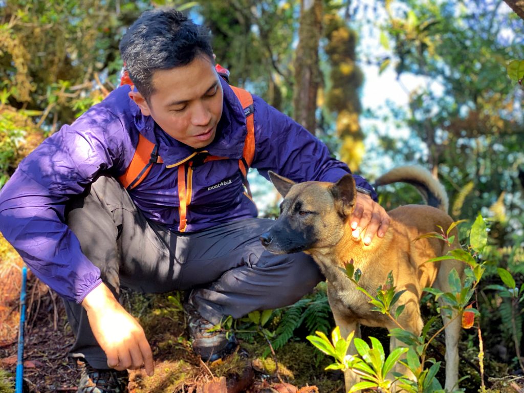
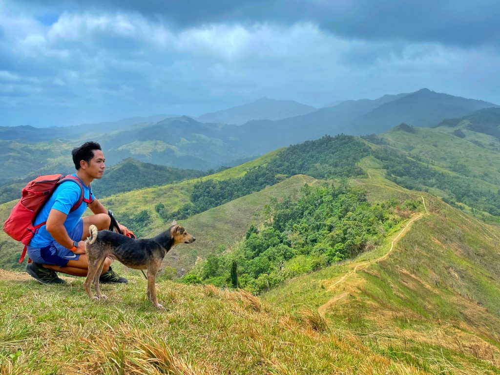
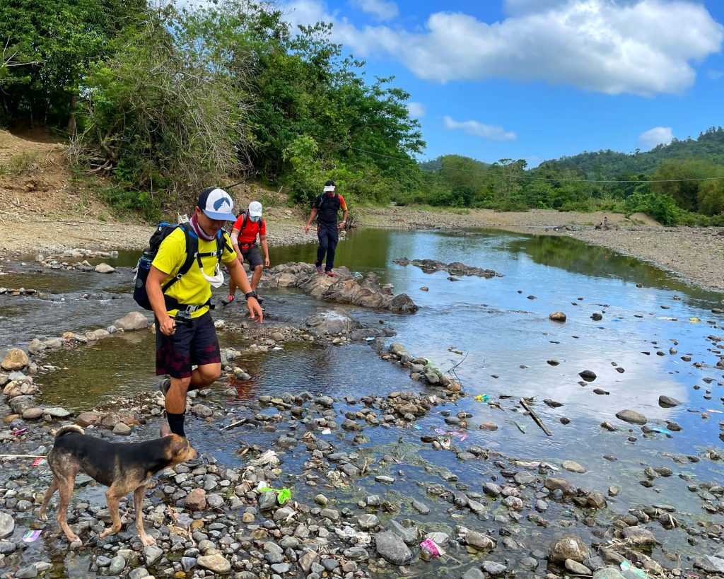
We arrived at the high camps at 0445H and after resting a bit, continued on to Pamalihi Peak which is considered as one of the high points of the mountain – even though there are unexplored higher points in the mountain (which is actually a range). Continuing on in the traverse to the BSP camp in Sitio San Isidro, we meandered through some forested ridgelines, foregoing Rosas Pandan Peak to maximize the time we can return to Cagayan de Oro; we completed the hike at a little past 1300H, making for a really great 12-hour trek. Thank you to this dog for joining us!

The post Hiking matters #637: Finally, Mt. Balatukan! A great mountain in Northern Mindanao appeared first on Pinoy Mountaineer.
Hiking in the Philippines during the pandemic: Guidance for mountaineers

$
0
0

Happy New Year, everyone! 2020 was very challenging for all of us and this site has been inactive since the start of the pandemic: Personally I found it challenging to write about something that I am unable to do, which is to go on a hike. However, this year promises to be better, and trails are opening up, so it is an opportune time to write something again especially in response to questions about hiking in the Philippines during the pandemic.

Some mountains are already ‘open’ – but given the fast-evolving situation we are opting not to post about them at the moment. Instead, here are some pointers when considering to hike:

1. Theoretically, going outdoors is one of the safest things to do during a pandemic. As far as COVID-19 is concerned, air circulation and ventilation are guaranteed in the mountains, physical distancing is very easy to do, and the physical and mental health benefits of hiking can help people feel better, and be in better shape, at at time of relative physical inactivity. All over the world, governments encourage their citizens to maintain a healthy lifestyle and are acknowledging the need to keep venues for such open – and these include hiking trails.

2. In practice, however, some protocols need to be observed. While the mountains itself are safe, getting there while practicing health protocols may be difficult (especially in shared or public transportation). Moreover, there will be logistical challenges including fulfilling newly-established (and rapidly-changing) requirements, not to mention community attitudes regarding visitors, which can include (understandable) suspicion. Beyond checkpoints and province-specific entry regulations,  LGUs and barangays may not be ready yet to accept visitors. Then as now, it is very important to adhere to government rules as any infarctions will reflect on the hiking community as a whole.

3. Do not hike if you have COVID-19 symptoms or exposure. If you have COVID-19 symptoms like fever or cough – or have been potentially exposed to someone with COVID-19, do not put yourself and others at risk – stay at home and wait for your symptoms to subside and your quarantine period to end.

4. It’s best to go local. In terms of all the practicalities and formalities, the best thing to do is to climb and explore mountains in your hometown, home province, or home region – there are plenty of mountains all over the country, and some LGUs have restricted access to their mountains to people within their jurisdiction. If you have access to a mountain that is currently restricted to the general public, exercise discretion in posting about it.

5. Climb in small groups, but even then, practice physical distancing and mask wearing. Having a small group will reduce COVID-19 risks both in terms of the logistics and the hike itself. Practice physical distancing throughout the hike, and wear a mask if it not possible to do so. It is also advisable to wear a mask while passing through communities or being in the jump off.

6. Practice health protocols even if the locals don’t. In rural communities many people don’t really wear masks or practice physical distancing but it is always wise to do so – and to encourage your guide to do the same, especially since they may encounter various groups throughout each week.

7. Organizers should comply with and insist on health protocols. Organizing a hike and gathering people from different households carries much more risk that hiking with one’s close contacts, and this risk is multiplied if organizers and participants alike don’t follow basic protocols like distancing and mask wearing especially in campsites, vans/transport. It is the organizers’ duty to insist that these rules are followed.

8. LNT principles apply to PPEs! Dispose of your face masks properly – don’t leave them on the trails where they are both environmental and health hazards.

9. Respect people’s decisions whether to hike or not. Some people are still not comfortable with the idea of going out, which is okay, while others want to hike. Both online and offline, we should refrain from judging people’s decisions as long as they do not violate health protocols.

Hopefully the situation will improve soon, but in the meantime, I wish everyone good health – and look forward to seeing you on the trails!

The post Hiking in the Philippines during the pandemic: Guidance for mountaineers appeared first on Pinoy Mountaineer.
Hiking matters #639: Mt. Sutot (Sawtooth Peak) in Iba, Zambales

$
0
0
Little did we know that it would be our final hike of the pre-pandemic world

I couldn’t write this for a long time because shortly after this hike, the lockdowns began and the world as we knew it change inexorably. But now, more than a year later, I feel that it’s time to finally chronicle all my hikes both before and during the pandemic.

Since I first hiked Tapulao in 2007, I knew that it was just one of the many possible destinations in a range that is majestic in its own right. Which is why I was pleasantly surprised to hear of a trail that leads to a peak in the range, known to locals as ‘Sutot’ and transliterated as ‘Sawtooth’ (or vice versa) – hence, Mt. Sutot or Sawtooth Peak. Conveniently, the hike can start at the same trailhead of Mt. Tapulao, allowing for the possibility of doing the two hikes in one trip.

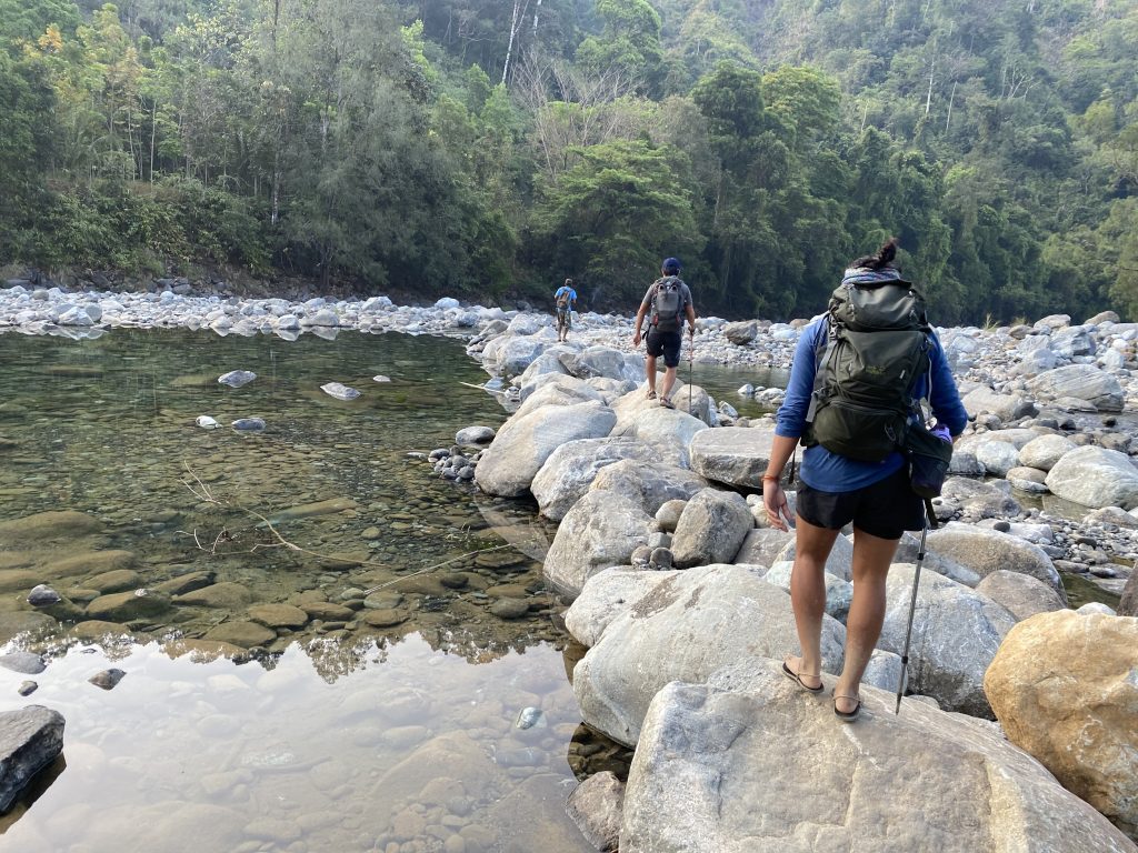
We started the hike at 0630H from the registration area and reached the river – crossable with a stone path across – around 40 minutes later. What followed was nothing like the rough road trail of Tapulao but a combination of rocky trails, woodlands, bamboo groves, rainforest, and finally, a pine tree-covered peak – the only similarity with Tapulao being its sheer length: We arrived at the peak at 1335H, or 7 hours 15 mins after we started! There are no technical or particularly challenging parts, except that the trail was long for a dayhike.

Even so – and at a respectable elevation of 1703 MASL –  it was a refreshing change from Tapulao – and this new destination, Difficulty 5/9, makes it worth the trip from Manila!

The post Hiking matters #639: Mt. Sutot (Sawtooth Peak) in Iba, Zambales appeared first on Pinoy Mountaineer.
Hiking matters #640: Mt. Kalisungan, my lockdown mountain

$
0
0

Despite the fact that the outdoors are a safe space during the pandemic, and people should actually be going outdoors, it took time for mountains to open and even today they are at risk of being closed, for various reasons, some understandable, others irrational. In any case, after a long hiatus, I was able to resume hiking thanks to the proximity of the mountains in my home province of Laguna. In particular, Mt. Kalisungan in Calauan became my go-to mountain, and I’ve lost count of the number of times I’ve hiked it during the pandemic.

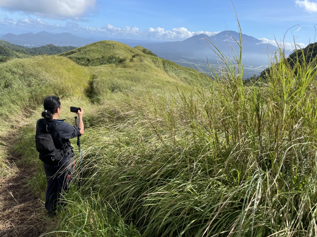
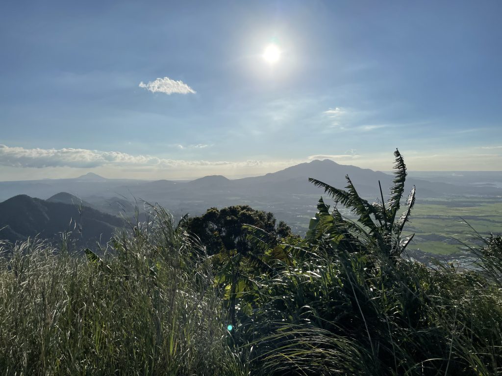
This peak – a straightforward, steep, hike totally just 7 kms roundtrip – starts off in the sloped farmlands and orchards of Brgy. Lamot I and II in Calauan, before entering some woodland that has actually expanded over the past decade, making it a more pleasant hike than it was in the early 2000s. The altitude gain of over 500 meters makes it a great workout and the grassland peak offers great views of the Seven Lakes of San Pablo with the Banahaw Trilogy overlooking them; while on the other side looms Laguna de Bay and the mountains of Rizal.

I’ve hiked this mountains many times before the pandemic but my realization is that it is best hiked mid-afternoon, when the shadow of the mountain itself blocks the sun and the lighting is much better at the summit. It can feel quite hot and humid, and the talahib can get uncomfortable but as of January 2021, the trail is reasonably established. Apparently, the trail to Atimla is also open!

The post Hiking matters #640: Mt. Kalisungan, my lockdown mountain appeared first on Pinoy Mountaineer.
Hiking matters #641: Mt. Arayat’s Pinnacle Peak

$
0
0

I’ve hiked Arayat many times since 2007, when I headed up South Peak with my classmates Julian and David, fulfilling my childhood dream of climbing a mountain I’ve always seen as the northern counterpart of my home mountain, Mt. Makiling. However, to be honest the mountain wasn’t high on my list given the sheer presence of flies and mosquitoes, plus the fact that I remember the mountain to be quite hot and humid.

The passing of the years, however, has changed my impression, and this was greatly helped by the existing of new, more forested, more challenging trails that have brought Arayat closer to the other, more pristine peaks of the region, like Tarak or even Pamitinan – while keeping the nonpareil scenery of the mountain that’s at the center of Central Luzon.

Thankfully, after the height of the terrible lockdown, the mountain opened in 2020 and on December 4, together with my hiking buddy Jeshua Sales, I had the chance to revisit the beautiful Pinnacle Peak – South Peak loop, with a comfortable length of just over 8 kilometers.

The ascent, like that of Kalisungan, was straightforward and mostly covered, until you emerge at the viewpoints leading to Pinnacle Peak itself: a wondrous spot to rest and take in the amazing views. The ‘monkey trail’ afterwards is fun – there are ropes for safety – before one reemerges in South Peak’s famous view-deck and the peak itself.

While the descent isn’t as exciting as the ascent, it’s still forested and quite pleasant, making for somewhat of a cooldown before ending back where you started. This hike convinced me that Arayat is really one of those classic climbs from Manila that hopefully I can keep visiting throughout my life.

The post Hiking matters #641: Mt. Arayat’s Pinnacle Peak appeared first on Pinoy Mountaineer.

Hiking matters #642: Mt. Pinagbanderahan in Quezon Protected Landscape, Atimonan

$
0
0

The COVID-19 pandemic has forced upon us a (re)appreciation of the local and the proximate, and in fact, because the Philippines is a mountainous archipelago you don’t have to go far to find hiking destinations. This is the reason why, on December 17, 2020, as a yearender of sorts, I decided to hike up Mt. Pinagbanderahan in Quezon Protected Landscape, Atimonan with my hiking buddies Daryl and Jeshua.

This was such an easy hike that I avoided it in the past, being quite far from Manila for such a short dayhike. My hikes in Pinagbanderahan were limited to the two or three times I ended up going there forgetting how far Atimonan is even from my hometown of San Pablo!

This time around, however, there was little choice so we thought it was worth the trip – especially since we haven’t really traveled much for much of 2020. So off we went, guided by a local kid (the locals said a guide was ‘required’ and we didn’t want to argue).

The trail involved, for the most part, a cement footpath or a well-established foot trail, and in less than an hour we were at the peak “where the flag was hoisted” (to this day there’s a Philippine flag there). To our pleasant surprise, however,  there is a small trail that connects to a second, more picturesque peak with more rock formations reminiscent of the Rizal mountains. This “sidetrip” was a big boost to our otherwise very simple climb, and we want back feeling very rewarded.


The post Hiking matters #642: Mt. Pinagbanderahan in Quezon Protected Landscape, Atimonan appeared first on Pinoy Mountaineer.
Hiking matters #643: Manabu-Malipunyo traverse, revisited (2021)

$
0
0

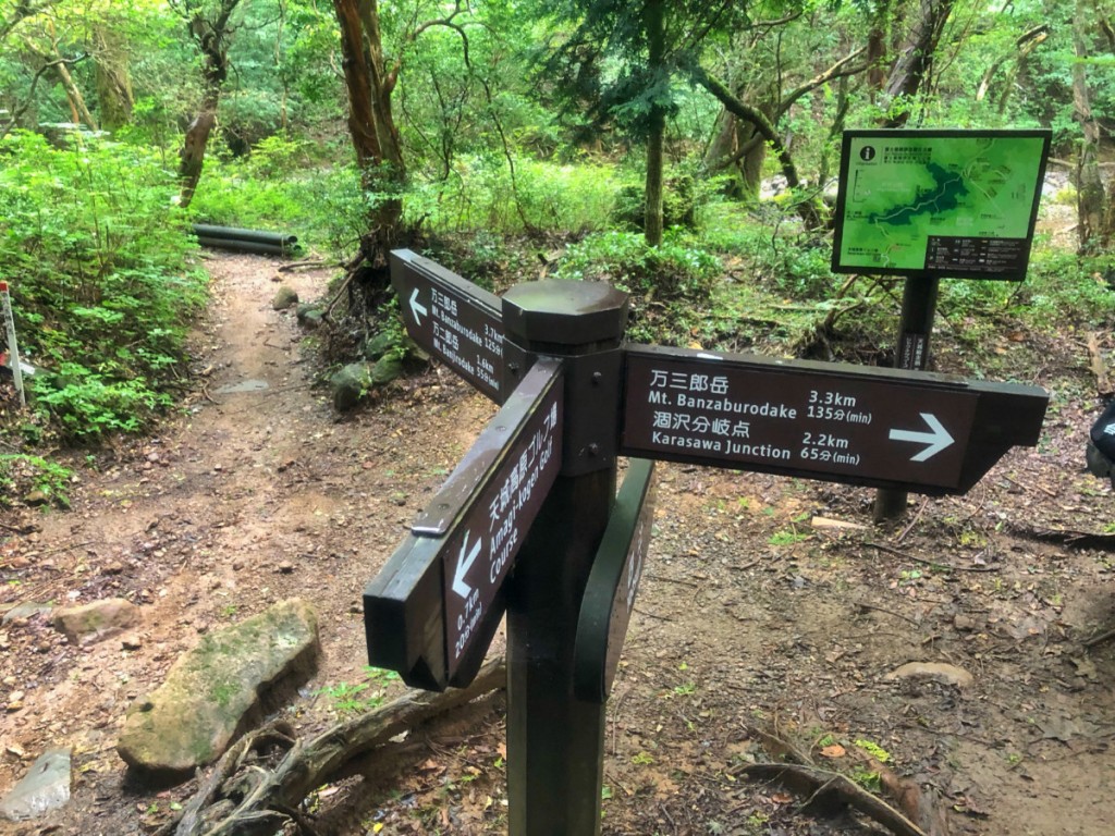
It’s been a tough 2020 and after a fantastic hike up the highest mountain in Ethiopia, Ras Dashen, the pandemic started to unfold and I was not able to do much hiking. In fact, I wasn’t able to hike at all for months until I went back to Kalisungan in September 2020 and a few mountains afterwards – Arayat, Manabu, Pinagbanderahan.

This is why it was great that in January 5, 2021, I was able to go back to Manabu Peak, and beyond, with a traverse to the summit of Malipunyo. I have done this just once, way back in 2013, so it was great to revisit it, this time with Daryl Comagon (who was also with me in 2013 alongside our friend Koi Grey), Jeshua Sales, Niel & Nicole Dagondon, and Lipa-based Gilbert Barredo.

The first part follows the Manabu trail, before it diverges from it at Mang Pirying’s hut. There was an option to go to Manabu Peak itself but we decided to forego it, having already climbed it just a few months back.

The weather was unusually sunny and clear, allowing me to appreciate the views from the trail for the first time! It was fantastic, offering views of the Southern Tagalog mountains including Banahaw, Cristobal, Makiling, and Maculot. On the way down, we passed through a nice waterfall before finishing in Brgy. Atisan and taking a tricycle back to the trailhead in Sulok, Brgy. Sta Cruz.

Overall, the hike took us 14 kilometers, 8.5 hours, with an altitude gain of over 900 meters.

The post Hiking matters #643: Manabu-Malipunyo traverse, revisited (2021) appeared first on Pinoy Mountaineer.
Hiking matters #644: Mt. Batolusong dayhike in Tanay, Rizal (2021)

$
0
0

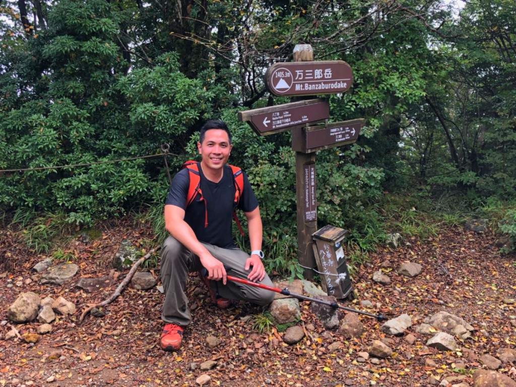
I’ve always known Mt. Batolusong to be a pleasant dayhike and when I found out that it had reopened I put it on my list of mountains within the region (or, in today’s parlance, ‘NCR plus’) that I could do as a dayhike. Thus on January 14, 2021 I went there together with my schoolmate and brod, Earl Balanag. (At the trailhead, there is a registration area where they required a medical certificate, but of course these rules are always changing).

The hike through mostly woodland, and later, grassland, was really straightforward and January is always a good time to climb mountains in the Philippines with relatively cooler weather. The only challenging part is the final leg up the summit but even then, with great views it was a pleasant walk. Altogether, it took us just over 3 hours 24 minutes to complete the 8.5 km hike with a decent altitude gain of 580 meters.


The post Hiking matters #644: Mt. Batolusong dayhike in Tanay, Rizal (2021) appeared first on Pinoy Mountaineer.
Hiking matters #645: The so-called Mt. Zamatam in Subic, Zambales

$
0
0

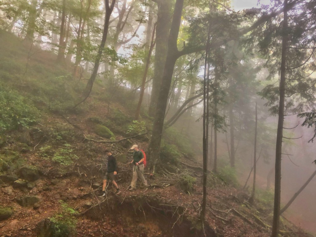
Intrigued by news of a ‘new hiking destination’ in Zambales (thank you, Simon Adriano, for the information!), my friends Daryl, Jeshua, and I decided to see for ourselves, and on February 26, 2021 we found ourselves in Brgy. Batiawan, which, while technically within Subic, is actually accessible only from Pampanga – a political anomaly that caused so much hardship for the community members during the lockdown. Hikers know it as Mt. Zamatam but this is disputed by our Aeta guide who say Zamatam is actually elsewhere (hence, ‘so-called’ in this post).

Thankfully, the mountain is nothing like its neighbors to the north – Balingkilat, Cinco Picos – that are mostly exposed to the sun. There were also some exposed parts but Zamatam is quite forested, to a point that even the summit, which we reached after 2.5 hours, has some shade thanks to the bamboo groves that characterize the upper reaches and serve as a final challenge in the mountain.

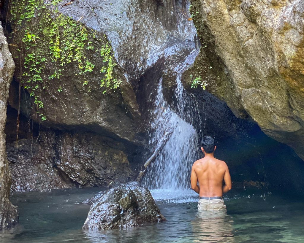
At the summit, there are nice views of the Zambales mountains and Subic Bay – a reminder of all the great outdoors that we have as a country, but from which we have been kept throughout the pandemic. After the hike, a side trip to Batiawan Falls – a popular picnic ground among locals – offers some refreshment before the long trip back to Manila.

The post Hiking matters #645: The so-called Mt. Zamatam in Subic, Zambales appeared first on Pinoy Mountaineer.
Hiking matters #646: The Mt. Mulawin Trail in DRT, Bulacan

$
0
0

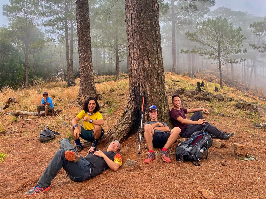
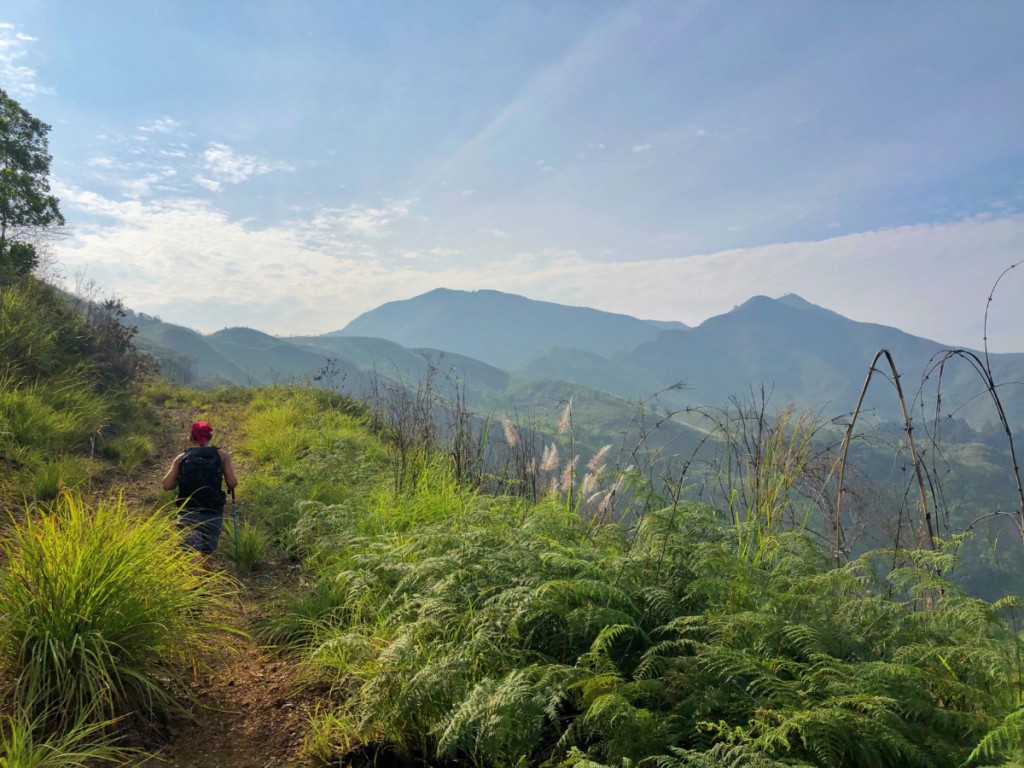
Right before the ‘second wave’ of COVID-19 caused a new round of lockdowns in ‘NCR Plus’ and beyond, my friends and I managed to check out yet another new hiking destination north of Manila, this time, the ‘Mt. Mulawin Trail‘ in Doña Remedios Trinidad, Bulacan. Very close to Mt. Manalmon, this destination features the foothills of the Sierra Madre and what it lacks in altitude it more than makes up for with trail length and scenery. Joining me in the hike were my hiking buddies Jeshua Sales, Daryl Comagon, Earl Balanag, and Coby Sarreal – basically a quasi-reunion of our Mt. Sutot hike the year before in similar circumstances.

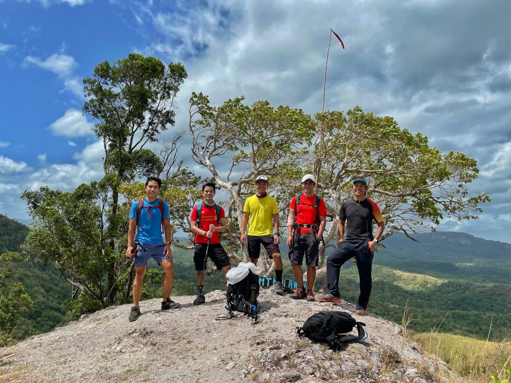
In many ways the 14-kilometer hike was designed for the vlogging, social media-frenzied generation with some ready-made Instagrammable spots and of course, some heart-shaped, hugot-friendly photo-ops along the way. Beyond these frivolities, however, the hike offers some decent trails that were it not for the heat and humidity, and the absence of pine trees, won’t feel out of place in Kibungan or Itogon. The trails are beginner friendly and I can see this as becoming a popular destination post-pandemic.

Because the entry and exit points are different, an additional bonus of the hike is that you get to maximize the novelty of the trail. We started at around 0930H and finished over 6 hours later at around 153H. A dog named Blacky joined us throughout, to my delight, and he even joined me in an anthropological essay I wrote a month later!


The post Hiking matters #646: The Mt. Mulawin Trail in DRT, Bulacan appeared first on Pinoy Mountaineer.
Viewing all 610 articles
Browse latest View live