Quantcast
Channel: Pinoy Mountaineer
Viewing all 610 articles
Browse latest View live

Hiking matters #613: Exploring Mt. Pamazam-pazam (1331m) in Aurora

$
0
0

IMG_9790
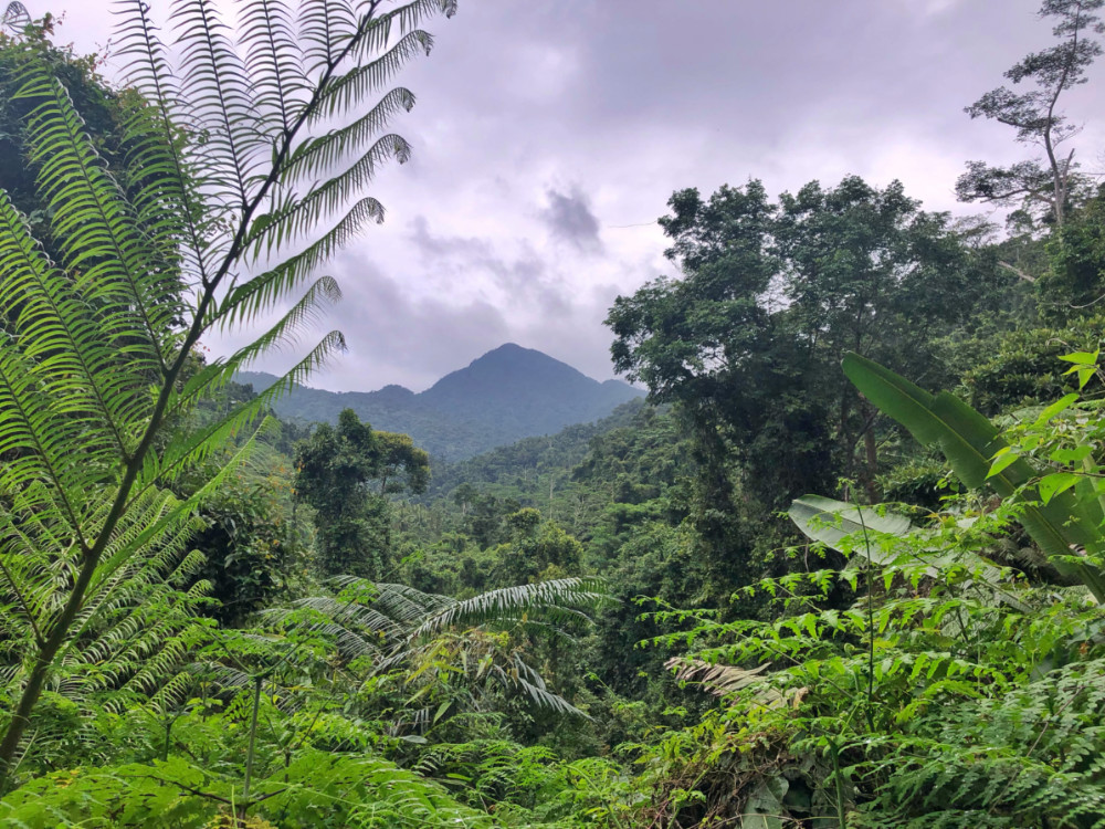
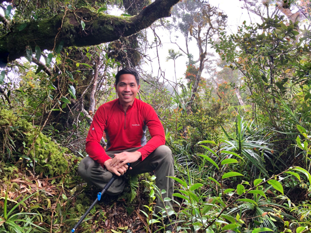
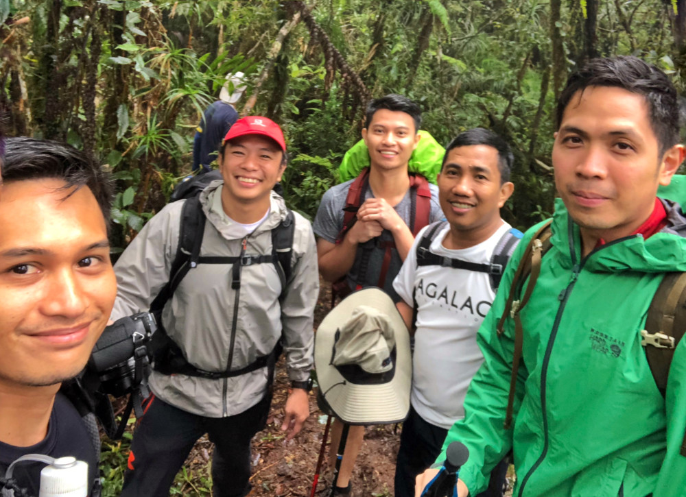
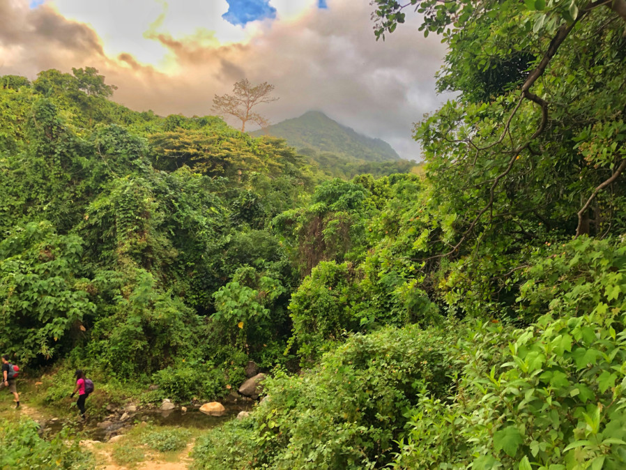
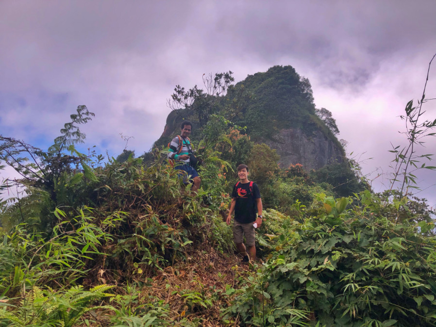
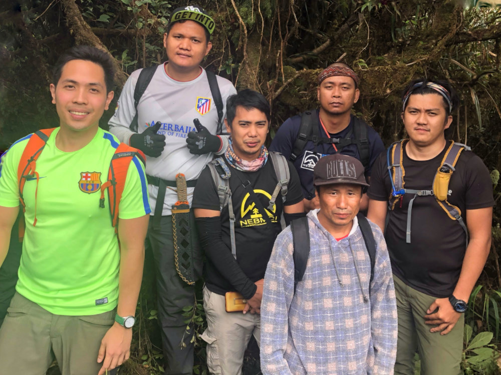
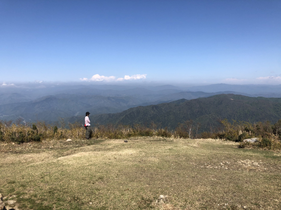
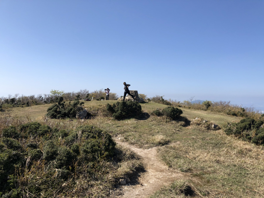
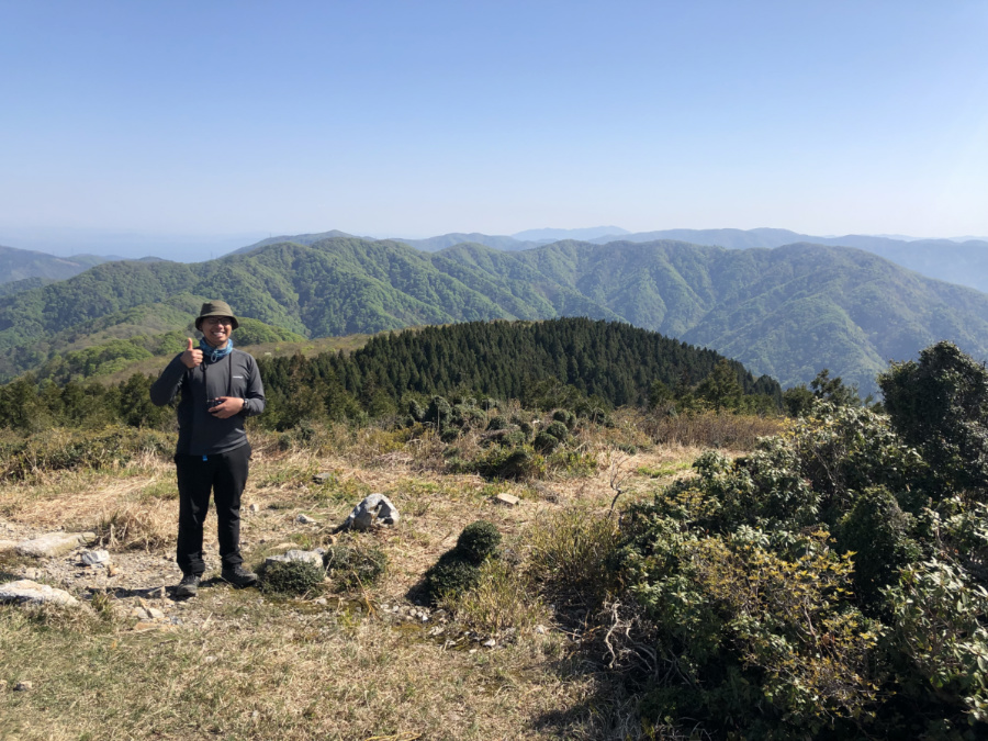
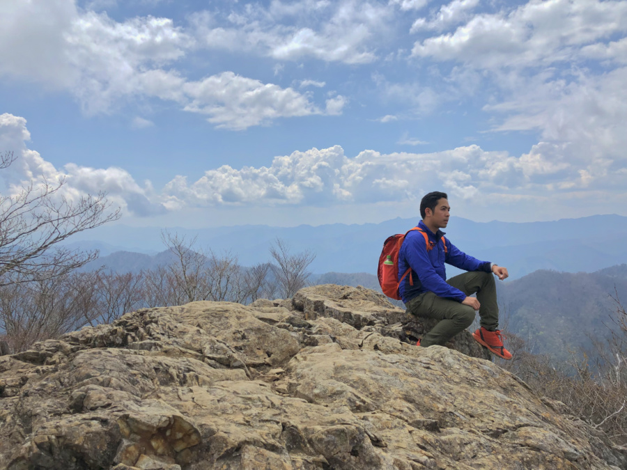
Continuing our protracted – and oftentimes delayed – series of hikes in the Sierra Madre, my friends and I hiked Mt. Pamazam-pazam (1331m) in the Bugkalot/Ilongot territory within Maria Aurora, Aurora. First entering the mountaineering books as part of an MFPI congress in 2004, I made passing reference to this peak in 2010 when I first visited Aurora and hiked Mt. Udok (see Hiking matters #104), and have long dreamed of climbing it. Encouraged by our successful Mingan climb last year (Hiking matters #602), we decided to push for Mt. Pamazam-pazam – also known to the Ilongot as Mt. Bugisalao after the bugisalao (kamagong) trees that thrive in the mountain. I was joined by Daryl, Tony, Kevin, and Allen – and we were accompanied by three Ilongot guides led by Ariel Cawag.

IMG_9907

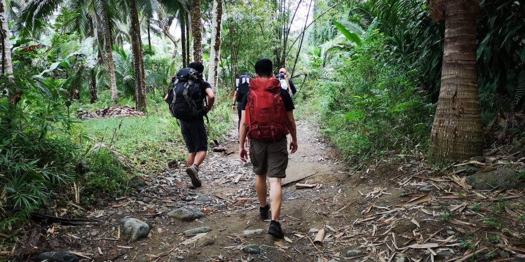
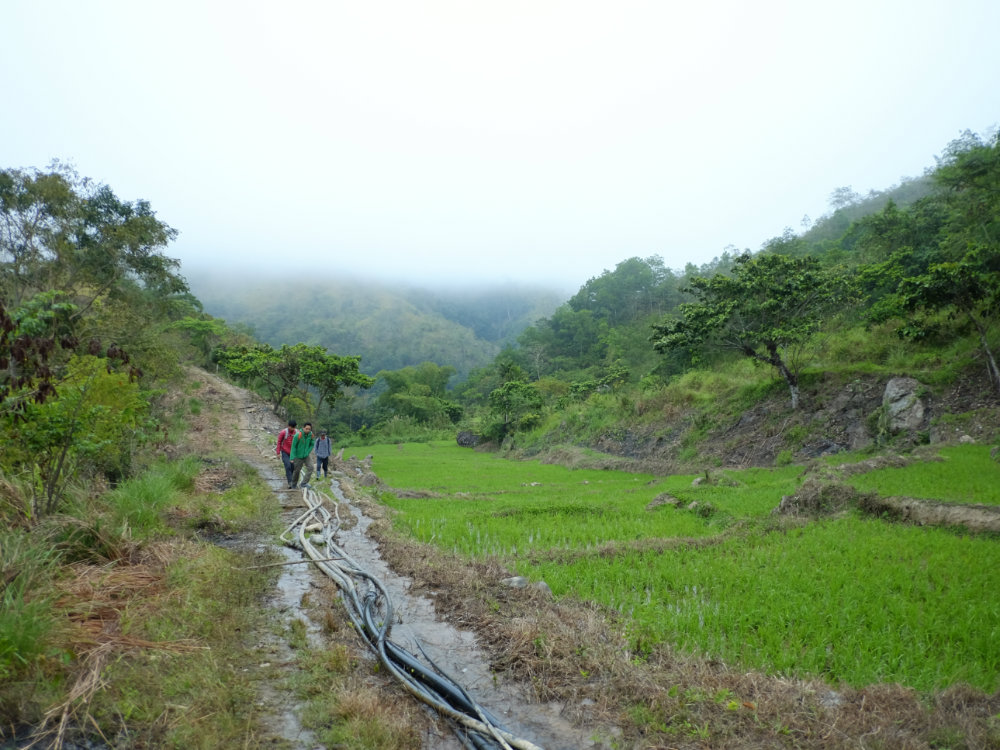
Starting the trek at Brgy. Bayanihan at 0900H, we followed a rough road that entered the forests that straddle three provinces: Aurora, Quirino, and Nueva Vizcaya. The road, which must have been used for logging many decades ago, is only interrupted by several river crossings, the last of which was above 500 MASL – representing a 400-meter gain from the trailhead. Even at this point one can appreciate the biodiversity of the Sierra Madre, with various sunbirds and doves, river crabs, and an occasional snake.

IMG_9906

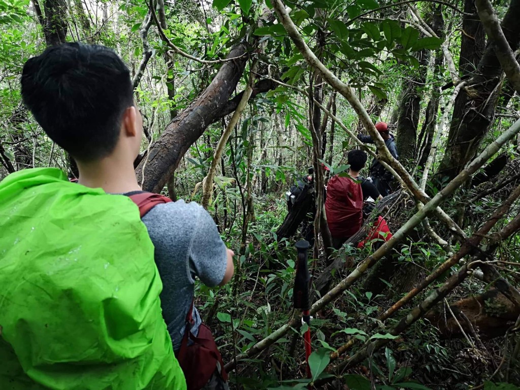
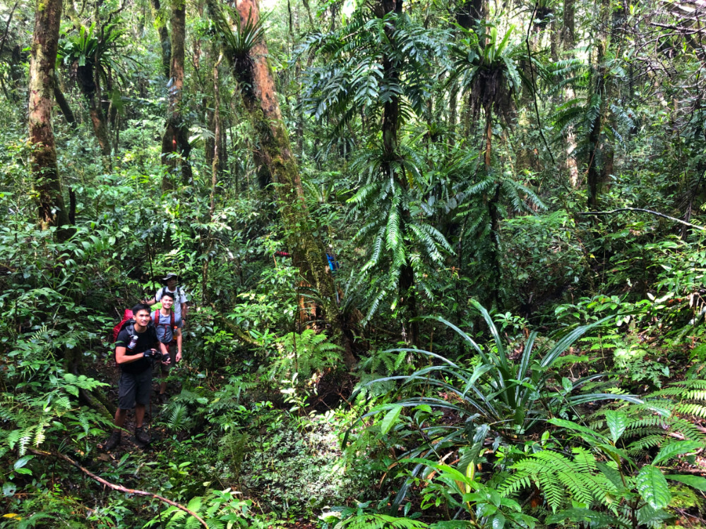
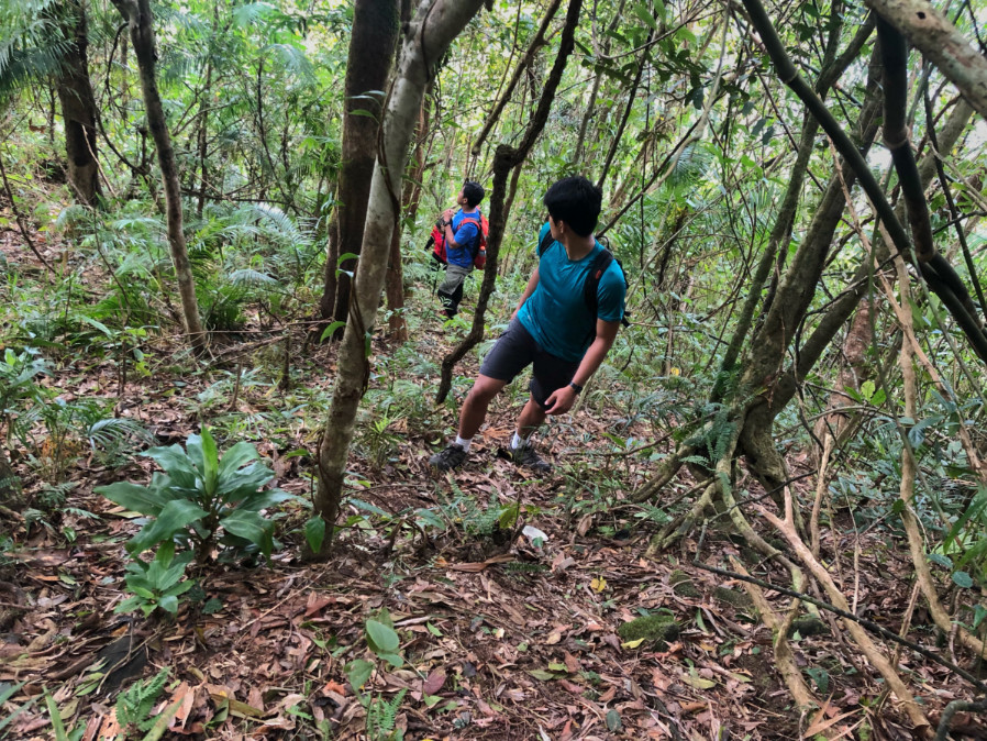
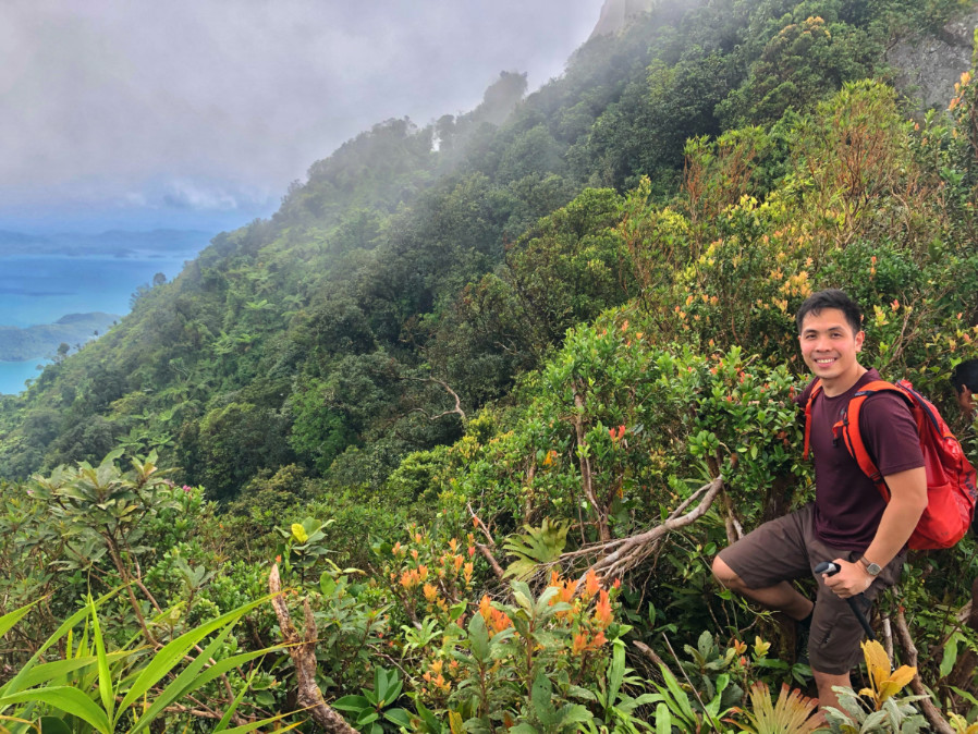
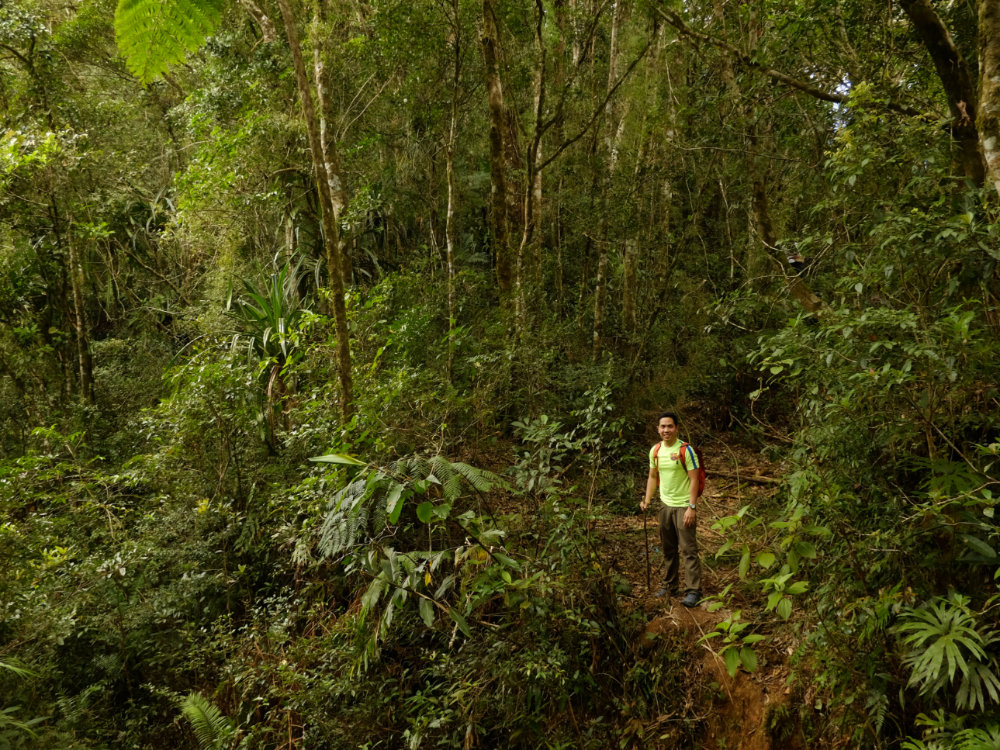
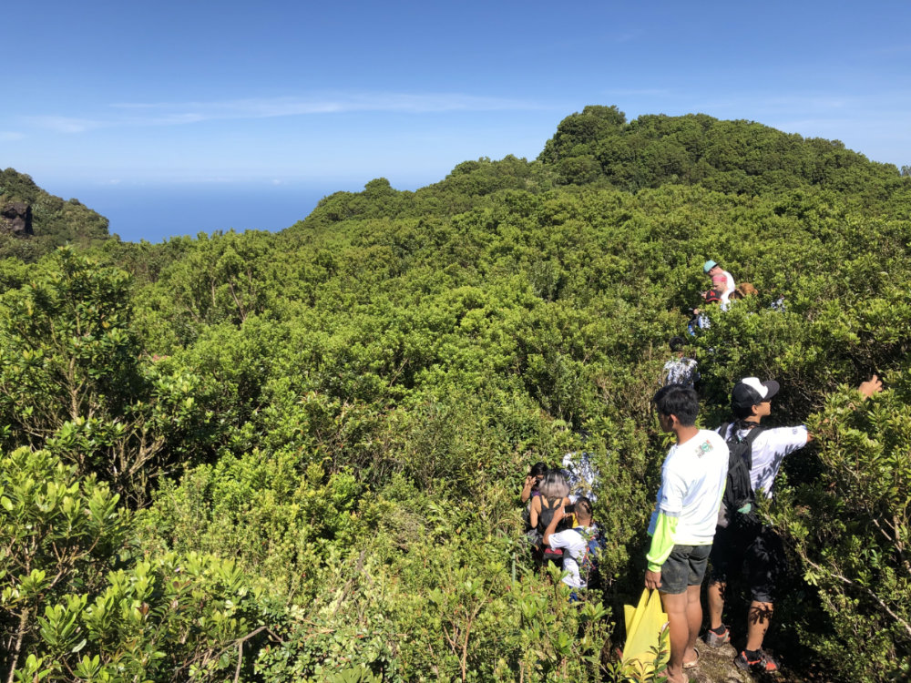
After the river comes the second and more challenging part of the hike: the steep ascent up overgrown vegetation to reach the summit and campsite of Mt. Pamazam-pazam. As we ascended we heard or saw signs of monkeys and wild boars; the dense forest was most refreshing, offering such fresh air that I could almost feel my lungs celebrate even amid the considerable effort of taking the increasingly high (and unpredictable) steps to reach the top. In all, it took us 7 hours from the trailhead to the campsite (1310m) – around 3 hours to the end of the river (i.e. the last water source) and the final four hours from the river to the forested campsite.

IMG_9829

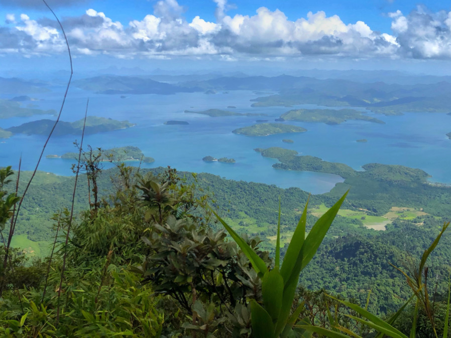
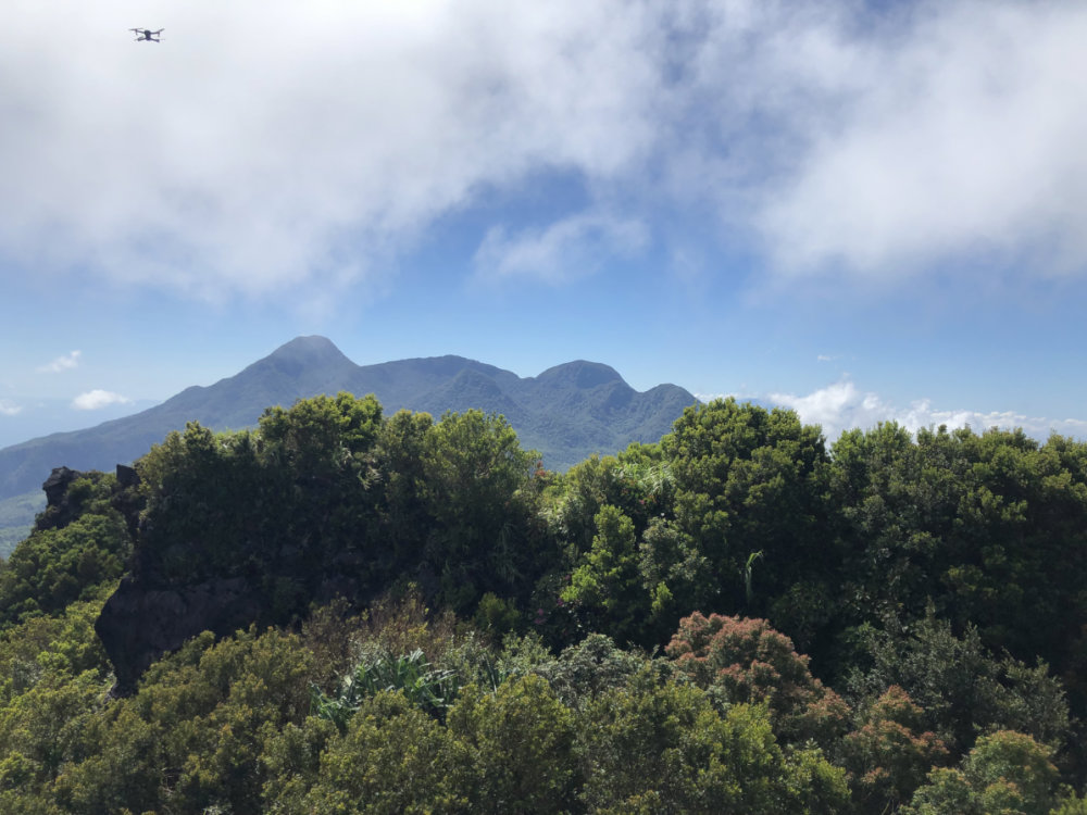
After a cold and rainy night, the following day we took the five-minute trek to reach the official summit, which is marked by an old tree. It was raining for much of our hike and we didn’t see any view but our guides told us that had it been clear we would have been able to view Mt. Atondu – the highest mountain in Quirino, also located within Ilongot territory. The Pacific coast, too, would have been visible, but just reaching the peak was enough to give me a sense of elation upon summitting my 4th Aurora mountain.

IMG_9886]
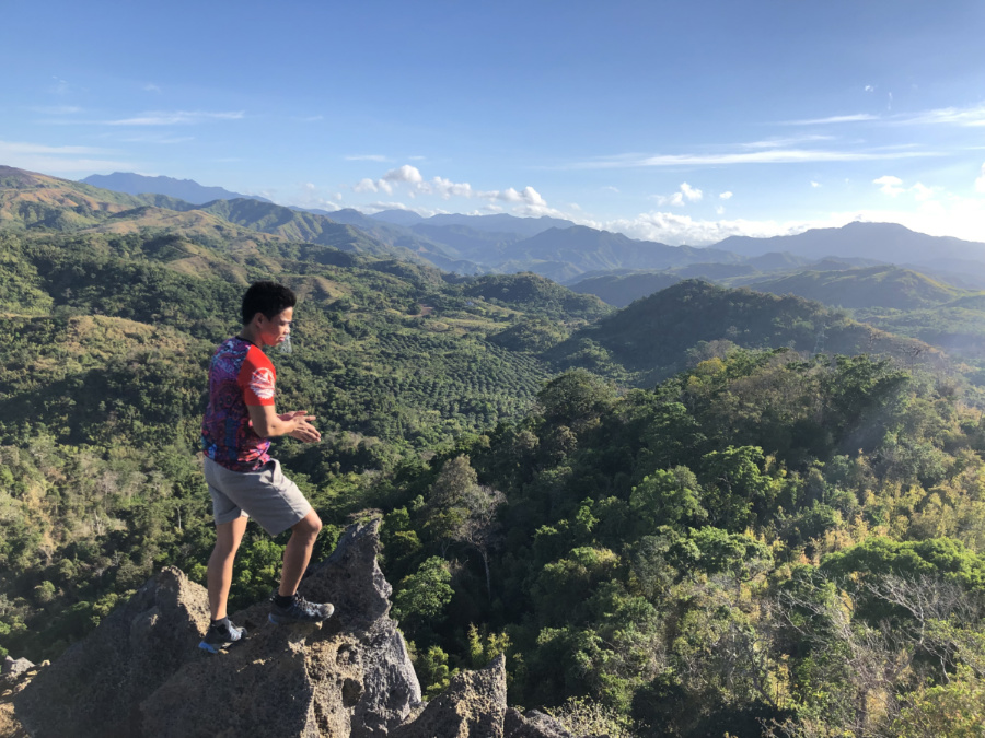
Back at the campsite we took our time and started the descent at a very late 1120H – and we pretty much spent the rest of the day retracing our steps back through the f0rest to Brgy. Bayanihan. As with the ascent there were some limatik – but as our guide Ariel reminded us – we should look at them as signs of mountain life and biodiversity. We managed to complete the descent in around 6 hours and by dinnertime we were celebrating another successful hike in Baler – before heading back to Manila. Looking forward to the next Sierra Madre hike!

IMG_9880

PinoyMountaineer thanks Karl and Verjohn of Piknikers Mountaineers for their assistance in the hike. Some of the photos are courtesy of Tony Gutierrez.

The post Hiking matters #613: Exploring Mt. Pamazam-pazam (1331m) in Aurora appeared first on Pinoy Mountaineer.


A beginner’s guide to hammock camping

$
0
0

2018_1118_09083900_1-01

by Kevin Jason Manuel

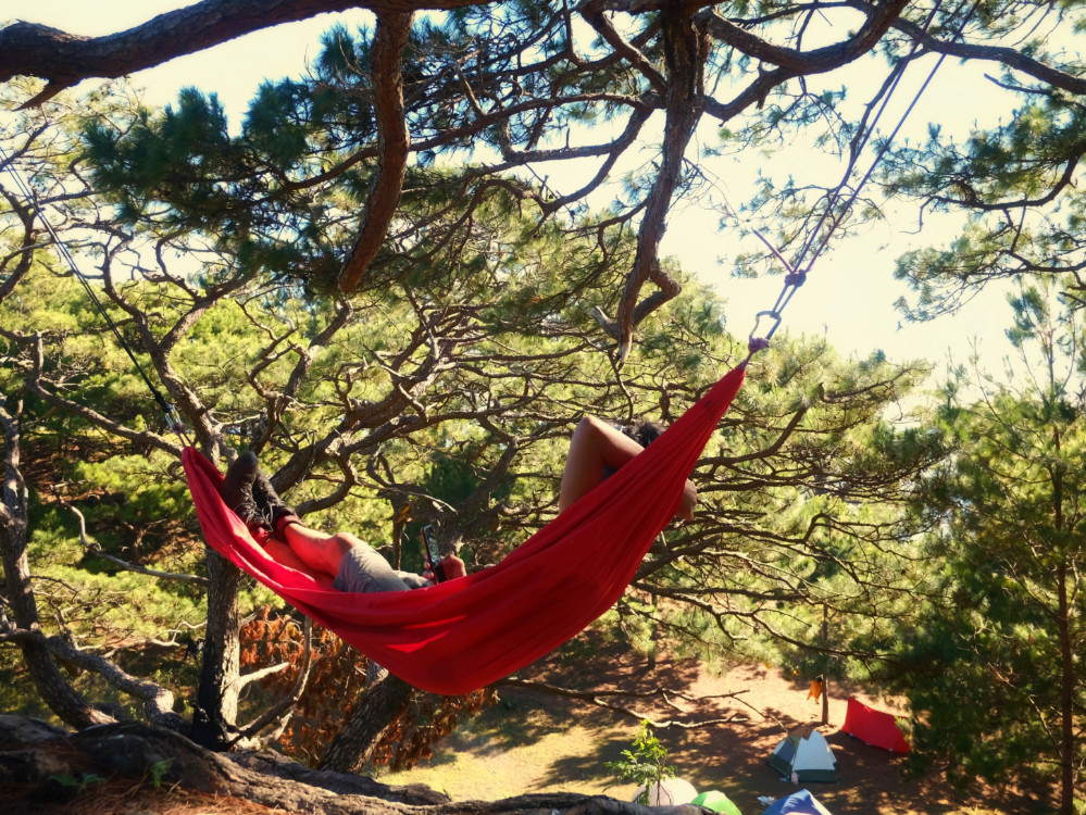
A hammock and tarp setup is awesome. They’re incredibly lightweight, take up very little space in your backpack, versatile, easy to set-up, and comfortable. Done right, you’ll sleep like a baby. The biggest advantage is that you’re off the ground. Less bugs, no rocks or roots or uneven surfaces to worry your back. You’re insulated from the cold earth, and when it rains, you won’t worry about water seeping through.

Of course, the main consideration to hammock-camping is the availability of trees or posts to tie your ropes to. We recommend asking around first if it’s going to be a problem. But as luck would have it, there are but a very few mountains where it’s absolutely impossible to hang a hammock from. In these situations, simply convert your tarp-hammock to a tarp-bivvy setup since your hammock easily doubles as a sleeping bag.

Important Notes:

Bring good lengths of rope. I use two 10-metre lengths of 6mm static rope. I’ve always got this with me, even if I’m not hanging. Rope is always a good thing as you get to practice ropemanship. “ropeman-whaaa?” I can hear the newbies say. Ropemanship–it’s the ancient art of tying knots and whatnot. A good knowledge of knots is critical as the last thing you’ll want is to come crashing down to the ground.

For starters, the four knots you’ll need to have intimate knowledge about are the prussik, tensionless hitch, tautline, and bowline. Between those four, you’re pretty much sold on what you need to do.

Also, having sturdy rope always available will help you in a variety of situations–from crossing rivers, to going down steep descents, to tying up your drunk buddies.

Having good lengths of rope will almost always ensure that you could pick a good location so your setup will have a shallow angle. The sharper or deeper the angle, the more uncomfortable you’ll be.

Think about your sleep system. An inflatable sleeping pad or insulation material is absolutely critical to stay warm in cold climates. Add a nice fleece jacket, thick socks, and maybe a thin inner sleeping bag. The layering will ensure a warm and cozy slumber.

Have a reliable tarp. I use a 10 by 10 feet tarp that’s been with me for nearly a decade. It’s got a reinforced ridge-line and multiple tie-outs which helps it withstand immense downpours of rain and strong winds. You could string it up multiple ways and all that room underneath it can be used for kitchen and cooking purposes.

Carabiners, or what i like to think of as “mountaineer’s bling-bling,” are a great way to keep rain from running from your hanging lines and on to your hammock. Of course you could simply fashion a drip line as well. But I like having a functional use for the carabiners I always bring along.

There are a few types of hammocks to choose from. Single-ply, double-ply, a cocoon-type, and one that’s got a bug net fitted. The only one I wouldn’t recommend are those made of inter-woven strings as they’re only good if you’re anticipating a night in hellish temperatures.

As with everything else in your gear, familiarise yourself on how to set it up properly. Take your time to study the best way to pitch your tarp, the angle of your setup, and adjustments that need to be done to seal you off from crazy-strong rain.

And believe me, once you start hanging, you’ll fall in love with it.

The post A beginner’s guide to hammock camping appeared first on Pinoy Mountaineer.

Hiking matters #612: Climbing up Mt. Capoas in Taytay, Palawan

$
0
0

IMG_9526
I have been dreaming of Mt. Capoas (also spelled as Capuas) ever since I saw it from Mt. Bloomfield in 2014 (see Hiking matters #406): the year I stayed in Puerto Princesa, and almost five years later I’m glad I finally I made it. The only 1000-meter peak in Palawan island north of Puerto Princesa and Roxas, this mountain’s location raises the prospects of a beautiful and unique hike – even with the standards of a province home to such lofty peaks as Mantalingajan and Cleopatra’s Needle. We staged our trip from Puerto Princesa and took a four-hour van ride to the trailhead in Binga, Taytay past Lumambong beach.

IMG_9516

The mountain was densely forested although there are worrisome signs on Google Earth that reveal pockets of deforestation, possibly related to mining operations which are almost certainly illegal. Even so, much of the mountain retained its pristine state.

IMG_9541

After an initial part featuring gradually-sloping community trails, the mountain featured a relatively-steep ascent that allowed us to reach past 900 meters in a matter of 3 hours. To our surprise the highest point in then trail quickly followed; unfortunately the current trail does not connect to the east peak (a sheer cliff gets in the way) nor to the seemingly higher west peak – where the official elevation of 1054m seems more apt.

IMG_9559

Even so, we enjoyed views at the top of the Malampaya Sound and its numerous coves, bays, hills, and islands.

IMG_9553

Somewhere in the mountain there is a reportedly-stunning waterfall and of course other peaks lie in wait. I’ll keep my eyes open for more trail prospects in this beautiful place – with the hope that it will be preserved from the many threats around it. Thank you to Jasper Arcinas for organising the hike!

IMG_9544

The post Hiking matters #612: Climbing up Mt. Capoas in Taytay, Palawan appeared first on Pinoy Mountaineer.

“Best days of my life”: A Filipino doctor shares his journey to Mt. Kilimanjaro

$
0
0

unnamed-2

by Michael Mo, MD

Rising so prominently above the African savannahs, Mount Kilimanjaro must have loomed large in the imagination of early humans. The tallest freestanding mountain in the world certainly caught the attention of this later human. Requiring no technical skills, it was said that anyone with a reasonable level of fitness and a positive attitude can make it to the summit. Due to the relative accessibility, the promise of scenic beauty, and the challenge of conquering one of the famed Seven Summits, the mountain had cast a long shadow and an irresistible spell on me.

Ironically, personal setbacks provided the window of opportunity to do this trip. Quickly assembling a team of like-minded bodies and securing the services of a trekking specialist, we decided to climb Mt. Kilimanjaro during the short dry season (between January to March). We selected the Machame route as it is one of the shorter and more scenic routes, and the route provided good opportunity for acclimatization.

We started our adventure by travelling to Moshi, Tanzania, the idyllic town set at the foothills of Mt. Kilimanjaro. We arrived a day ahead of our trek to meet our guides and to get oriented. We were backed by an incredible team- an army of twenty two guides, cooks, and porters supported us four aspirants. Moshi felt familiar- the warmth of the Tanzanian people with their generous greetings of ‘jambo’, and the tangy and succulent mangoes served for breakfast reminded me of home. From our hotel, it was a short drive through leafy boulevards to the Machame Gate of the Kilimanjaro National Park where we registered and started our trek.

We covered the 62 km of the ‘whiskey’ route in six days. The journey was paced ‘pole-pole’ (slowly, in Swahili) over well-trodden paths. It was mostly a long walk with some bouldering along switchbacks (notably to scale the great Barranco wall, and the pre-dawn scramble up to the crater rim). The landscape on the trail transitioned, as one ascended, from tropical rainforests, to temperate moorlands, to alpine dessert, and to arctic tundra at the summit. It was like travelling from the equator to the poles and back in a week. It was glorious! The sweeping vistas that standing on the mountain afforded were nothing short of stunning. The diverse flora that have taken root at the various ecological niches on the mountain made for such visual treat. The climb to the roof of Africa was as beautiful as we could have possibly imagined.

The prize of climbing Mt Kilimanjaro came with a price. The height that made it so seductive also made it dangerous. At 5895 m, the peak of Mt Kilimanjaro is firmly classified as an ‘extreme altitude’ with oxygen levels about half of those at sea level. Altitude sickness hit us hard on the summit day- we were suffering from exhaustion, fatigue, and nausea as we trudged along the endless ridges leading to the crater rim. There were two helicopter evaluations while we were on the mountain. Nature was not to be trifled with.

We lost a few things along the way. Vanity was the first to go. Putting up appearances hardly mattered. All one noticed were determined looks from people committed to fulfilling their dreams. No one was bothered by the stench from not showering for days, all were preoccupied with chasing that whiff of success- which was getting stronger with every step taken forward. All of life’s noises were drowned out by the stillness of mountain- the rat race, the keeping up with the Joneses, the insecurities, all the hypothetical scenarios crowding the mind. Pride was banished. Looking back, these were the only realities that mattered on the mountain: that was that we were under the mercy of the mountain, and that a foot had to take another step forward.

Rain, hail, sleet, and snow greeted us everyday on the trail- and on the mountain there’s no such thing as bad weather, only bad clothes. We came ready but nature can be surprising. On the fourth day, as hail was beating down on us as we were traversing Karanga Valley, in one of the more desperate moments on the mountain, magic happened. Hail hitting the gravel of the valley floor made the ground chime. The sky was falling and music was reverberating from the earth. Nature can be healing.

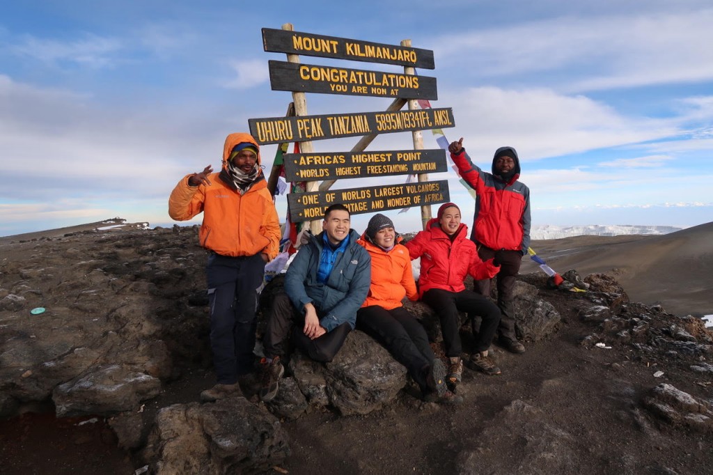
Reaching Uhuru’s Peak didn’t trigger a surge of happiness in me. Not yet. It was perilous to stay longer than necessary at that altitude; and I was aware I was only half-way through, and I dreaded the long way down. After quickly taking photos with the sign marking Africa’s highest peak, we embarked on the other half of our journey. The descent was no easier than the ascent. Our knees buckled under the immense stress. We managed to descend to Mweka Gate the following day where we logged our accomplishments with the park authorities. The celebration would finally come that evening at the Indoitaliano restaurant in Moshi where the refreshed team recollected memories and reminisced experiences over pizza and chicken tikka masala. Toasting with lassi and Kilimanjaro brew, the immense satisfaction of having accomplished such a worthy goal settled in.

Those days on Mt. Kilimanjaro were among the best days of my life. On the mountain, time itself seem to have stopped- like all of the past and all of the future had compressed into the present moment; and life was stripped to its bare essential. In the wild, amidst the struggle, I felt truly present and truly alive.

The post “Best days of my life”: A Filipino doctor shares his journey to Mt. Kilimanjaro appeared first on Pinoy Mountaineer.

Letter to a young mountaineer XV: Tell them of the mountains

$
0
0

IMG_7865

TELL THEM of the mountains that changed your life;

Tell them of the rivers that crossed your heart;

Tell them of how, as you walked the forested paths, you found peace in times of loneliness; strength in times of doubt, joy in times of sorrow.

And how, camped under the canopy of stars, you shared the night with kindred spirits.

Share with them your stories of adventure; the highs and the lows. Tell them of the first peak that conquered your pride, and the last peak that captivated your mind.

Tell them of the summits that you never reached, the pain of turning back, the wisdom at the end of your return. Tell them of the moments when you longed for the warmth of home, swept by waves upon waves of longing.

Tell them of the summit you kept coming back to; the mountains that have watched you grow. Name for them the ancient trees that like grandmothers you have dutifully embraced; the beautiful trails that like old friends never let you down.

Show them the vivid pictures in your mind: the graceful deer; the glorious dawn, the unexpected rainbow. Describe the experiences that no camera could capture:  from the knife-edged ridge you had to traverse to the raging stream you had to cross. Leave not unmentioned the simple joys of crystal clear waters, fragrant fresh air, and beautiful blue skies.

Sing to them of the unsung heroes you met along the way: The people who, despite having so little, gave you so much; the families who in the tiniest of hamlets opened their doors for you. The guides who showed the way to the mountains, and showed you their way of life. The rangers who protect the forests that in turn protect us – despite receiving so little protection themselves.

And of course, tell them of your companions, the people who have shared your passions. Confide to them your friendship with the girl who climbs mountains; the old man who imparted to you unforgettable and wise words.

Finally, In all your stories, never forget the people who supported you in every step; the people who believed in the value of your journey.

***

TAKE THEM to the mountains.

Introduce them to the rivers and the forests, the moss and the stars.

Make them feel the cold and the heat, the wind and the rain.

Open their eyes to what lies above the clouds.

Enchant their ears with the rustling of leaves, the rumbling of the brooks, the melodies of birdsong.

Leave them breathless with the mesmerising peaks and endless trails, and give them memories that will last for a lifetime.

In our modern world there are many things that money can buy. But one of the best gifts you can give your loved ones is the gift of the outdoors.

Baguio City
January 2019

LETTERS TO A YOUNG MOUNTAINEER
Personal essays by Gideon Lasco
I: A letter to a young mountaineer
II: Why do accidents happen?
III: Of doing and loving
IV: A difficult situation
V: Wise words from an old man
VI: The Philippines that I love
VII: The calling
VIII: The girl who climbs mountains
IX: A mountaineer’s legacy
X: What beginners can teach us
XI: The friends inside your backpack
XII: Unfollowing one’s self in social media
XIII: Never let go of the mountains of your life
XIV: Before you hike abroad
XV: Tell them of the mountains

The post Letter to a young mountaineer XV: Tell them of the mountains appeared first on Pinoy Mountaineer.

Hiking matters #614: Mt. Bintuod, possibly the highest Sierra Madre peak

$
0
0

IMG_0142
Because of its vastness and the fact that many of its peaks have a similar height, it is hard to determine which mountain is in fact the highest point in the Sierra Madre. Mt. Mingan is a worthy candidate but based on topographic maps and satellite images, the mountain with the strongest claim is Mt. Bintuod in Alfonso Castañeda, Nueva Vizcaya, located in the same cluster of Sierra Madre mountains as Aurora’s Mt. Pamazam-pazam (see Hiking matters #613). Although its exact height is unverified, Bintuod has a summit pleateau that rises to around 1940 MASL. Together with my friends and members of the Nueva Ecija Backpackers and Mountaineers Club, Inc., I decided to check out the mountain, weeks after the NEBMCI guys went for a reconnaissance.

DSCF6535

As with many places in the country, only one jeepney goes from San Jose, Nueva Ecija to the town of Alfonso Castañeda per day, thus we had to devote three days for the trip – even if the mountain can be done as a dayhike. Thankfully, the people in Brgy. Lipuga accommodated us and we stayed at the Barangay hall. Early the next day, we had an early start (0615H), first passing through a bucolic scene of sloped rice fields, followed by a series of stream crossings.

DSCF6708 2

And then we entered the forest – what an enchanting forest! It was reminiscent of Mingan and Danayag, minus the pandan that complicated our Mingan trek last year. Used by the locals to travel across the Bugkalot lands – and also to go hunting – the trails were quite established, although we still had to negotiate a vertical gain of 1300 meters in one day – making for a worthy challenge. Adding to the difficulty was the fact that there were two false peaks!

IMG_0168

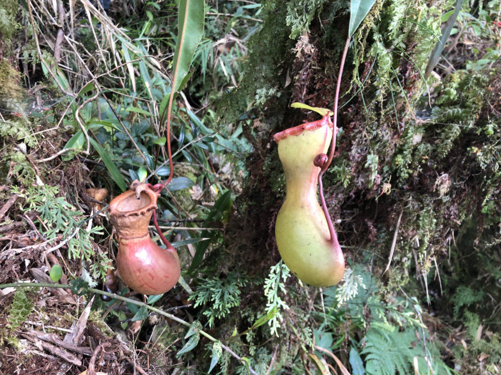
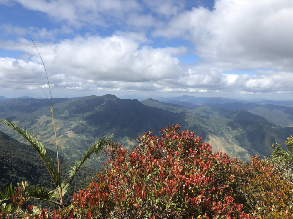
Along the way, we encountered pitcher plants and various fascinating flora and fauna. Occasionally, there were clear skies, offering the view of nearby mountains Nearby Mt. Guiwan looms to the northeast –  a mountain also located in Alfonso Castañeda and seems to be just a few meters lower than Bintuod. And there are countless other peaks, most nameless and unknown to the mountaineering community, but possessing fascinating shapes and posing further challenges. But as expected for a Sierra Madre hike we didn’t really have much of a view at the summit – which is mostly a plateau with mossy trees and the highest spot within it still to be determined.

IMG_0199

Even so we were greatly pleased with the success of reaching what is possibly Sierra Madre’s highest peak – all the more because the trail was really fascinating, the forest deep and lovely. I am greatly enthused to continue experiencing the pristine beuaty of the Sierra Madre, one (little-known) mountain at a time. Thank you to everyone who joined – and to our friendly guides and hosts!

IMG_0198

The post Hiking matters #614: Mt. Bintuod, possibly the highest Sierra Madre peak appeared first on Pinoy Mountaineer.

Hiking matters #615: Hiking up Mt. Hibok-Hibok’s New ‘Itum’ Trail

$
0
0

Hibok-Hibok4
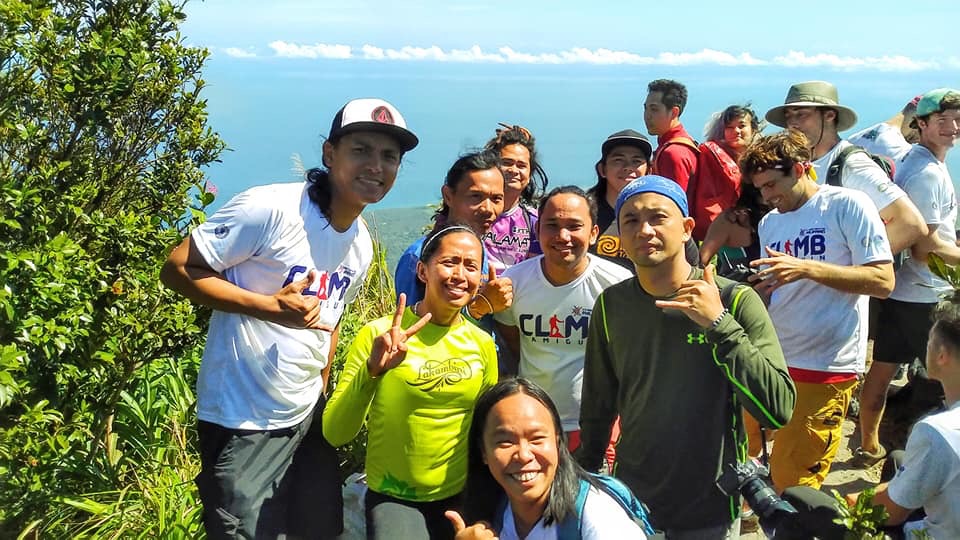
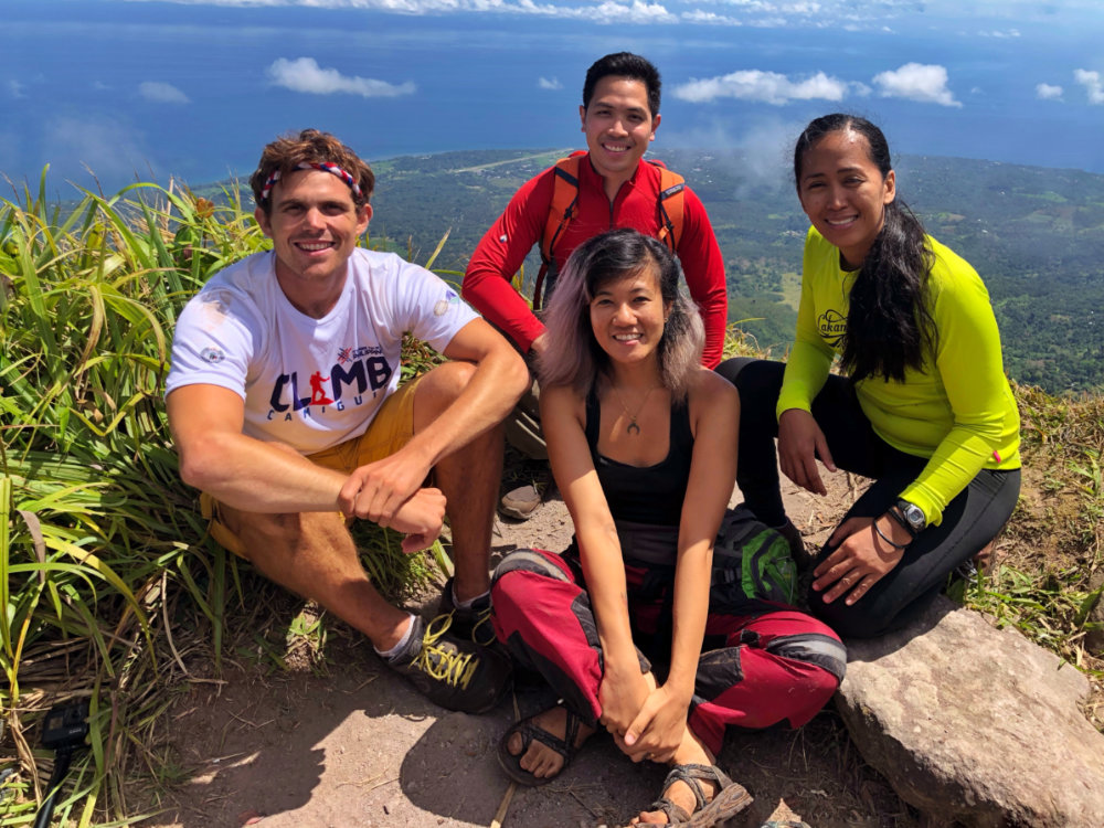
MAMBAJAO, CAMIGUIN – Camiguin – the “island born of fire” – is certainly one of the Philippines’ most captivating islands and for a mountaineer the allure is boosted by the fact that it’s home to the famed Mt. Hibok-Hibok, one of the most famous peaks in Mindanao and the whole country. I have very fond memories of Hibok-Hibok, having climbed it twice before: First in 2007 via Ardent Hot Spring after a D2K and before I started Pinoy Mountaineer; and second in 2012 – a traverse from Yumbing to Ardent to celebrate my birthday. It was great to be back recently as part of Climb Camiguin – an event organised by the Camiguin provincial tourism office and DOT – Region X. The hike was organised by Nilo Lazarito and attended by a compact group of mountaineers, bloggers, and travellers.

Hibok-Hibok8

This time the hike originated from Sitio Itum in Brgy. Baylao, Mambajao – hence the name of the trail; the trailhead was around 600 MASL. Adding more significance to the destination, the mountain and its taller companion Mt. Timpoong have been declared an Asean Heritage Park, and is now formally known as Mounts Timpoong Hibok-Hibok Natural Monument. Hopefully, a a republic act declaring the place as a national park will soon follow!

Hibok-Hibok6

The trail was quite rewarding for a dayhike – I don’t remember the Ardent trail to be as challenging, probably owing to its newness (old trails are generally easier and nicer as they have been smoothed out by the passage of humans). Even so, it was enjoyable, being forest-covered for most of its length. For the first time since she completed the Seven Summits, I was with Carina Dayondon and it was a real pleasure to climb her again! Also joining us as guests of the hike were Julius Paner, Rhonson Ng, Celine Murillo, Kara Santos – as well as the foreign vloggers led by the local favourite Kyle ‘Kulas’ Jennermann.

Hibok-Hibok7

After three hours of trekking we reached the upper reaches of the mountain and caught glimpses of the peaks of Hibok-Hibok. Looming tall nearby, moreover, was Mt. Timpoong, at 1630 MASL the highest mountain in Camiguin (I had previously thought it was just 100 meters taller than Hibok).

Hibok-Hibok3

IMG_0788

Fortunately we had great weather at the summit – and managed to view the surrounding seas, as well as the distinctive sliver of sand that is White Island. Then as now (see Hiking matters), the charms of Camiguin are in full display in Hib0k-Hibok and someday I hope I can return. Many thanks to Gov. Romualdo, the Camiguin provincial tourism office led by Candice Borromeo-Dael, DOT-X Regional Director May Salvana-Uncuhan and everyone who made the hike possible!

Hibok-Hibok2

The post Hiking matters #615: Hiking up Mt. Hibok-Hibok’s New ‘Itum’ Trail appeared first on Pinoy Mountaineer.

Fire safety: How to deal with mountain wildfires and forest fires

$
0
0
12895534_10206281450660682_847335383_n
The fire in Mt. Apo in March 2016

by Gideon Lasco

Wildfires (brushfires, bushfires, forest fires) in the Philippines occur mainly during the dry season. They are caused mostly by cultural practices and human activities, which could be deliberate (i.e. kaingan or the slash-and-burn method of agriculture), incidental (use of fires to smoke away the bees in order to get their honey), to accidental (i.e. from cigarette butts). While fires figure in the natural cycle of some ecosystems, El Niño and other cyclical climate changes can further aggravate the risk of wildfire occurrence.

While the most common damage dealt by brushfires is on vegatation both natural (forests) and man-made (agricultural), there is also the dangerous possibility of brushfires claiming human lives – brushfires can move as fast as 22 kilometers per hour in grasslands, engulfing hectares of mountain slopes quickly. Moreover, there is also the incalculable loss of affecting biodiversity and fragile ecosystems – as we witnessed in recent years with fires ravaging Mt. Apo and Mt. Pulag.

Here are seven fire safety tips for mountaineers:


1. Know the fire risks for the mountain you’re planning to climb. If it’s dry season and a mountain is at risk of brushfire, consider changing your destination. Be guided by advisories from official bodies and tips from fellow hikers. It is also important to have prior knowledge of the mountain you’re climbing: knowing where the bodies of water and alternate trails are can be life-saving. Mountains at risk include, but are not limited to the following: Anawangin, Balingkilat, Tarak Ridge, Mt. Calavite, Mt. Iglit, Mt. Talamitam, Pico de Loro, Mt. Batulao, Mt. Sembrano, Mt. Pulag, Mt. Ugo, Mt. Tenglawan, and others with similar conditions – but even forested mountains like Mt. Apo and Mt. Kitanglad can catch fire in the dry season.

2. Avoid adding to the fire risk. Avoid cooking in fire-prone mountains and in any campsite keep flammable debris away from your cooking areas – these include dry leaves, twigs, and other easily-combustible materials. It’s also be important to be careful about the use and storage of any fuel (e.g. butane canisters) and flammable materials (e.g. alcohol, gas)  as they can exacerbate fires. Campfires are strongly discouraged even in wet season (in keeping with the Leave No Trace principles) but they are even more discouraged at this moment. Avoid smoking. Be very careful with the use  of stoves, burners – in high-risk campsites you may want to avoid them entirely.

3. Educate and guide your fellow hikers. If you see anyone smoking in the grasslands of Tarak during the El Niño season, don’t hesitate to tell them to stop doing so, and educate them about fire safety! What’s at stake is not just their convenience but the safety of all the hikers – and the mountain itself.

4. Stay vigilant. You can actually hear and smell the sound of burning bushes; at all times be vigilant about unusual signs in your environment. If you recognise that there is a fire ahead in the trail, gather more information and consider changing course based on the trajectory of the fire, the wind direction, and existence of trails and bodies of water where you can take refuge in/past.

5. If you’re already caught in a blaze, don’t try to outrun it. Instead, try to head to a nearby body of water like a pond if available – or a flat surface without vegetation. Breathable air is of utmost importance: a National Geographic guide stresses that one must “Protect your lungs by breathing air closest to the ground, through a moist cloth, if possible, to avoid inhaling smoke”

6. Coordinate with local authorities. Please report immediately about brushfires, or mountains you think are at high risk for brushfires, so we can spread to word to fellow mountaineers. Importantly, report also to local authorities such as the DENR-PASU or the local government. This is another reason why it’s important to have contact numbers at hand even before you hike.

7. Support the reforestation of our mountains. In the long run, it is also worth noting that many slopes that are now fire-prone grasslands are formerly forest areas that were converted as a result of deforestation. Helping out in sustainable tree planting and growing campaigns  will help prevent the occurence of brushfires in the future.


The post Fire safety: How to deal with mountain wildfires and forest fires appeared first on Pinoy Mountaineer.


Opinion: Let a thousand rafflesias bloom

$
0
0

rafflesia inquirer 2
It’s the season of flowers in many parts of the country, and over the past few weeks, we have seen a blossoming of people’s interest in them, particularly of our indigenous species – from the narra and the banana to the balayong and the molave.

One flower that has stood out, particularly for hikers, is the rafflesia: the family of some of the world’s largest flowers that’s actually found all over the Philippines – but has hitherto been sidelined in our imagination.

rafflesia inquirer
The Philippine Daily Inquirer features the rafflesia in its April 16, 2019 issue with a feature article by Maricar Cinco

But this is changing thanks to the efforts of mountaineers and outdoor lovers, who have taken to social media to share sightings of this fascinating flower, as well as the conservationists and park officials who are making sure that the flower is preserved in its natural habitats.  I have seen this flower only a couple of times prior – once in Sabah and once in Mt. Napulak, Iloilo, I consider myself very fortunate to have seen several of them in Mt. Makiling last March 31 together with my friends.

I see the attention to the rafflesia as a positive development. As a hiker, I’ve always wanted my fellow hikers to look beyond the summit and appreciate the wonders of the trail – which to me has become the real highlight of any hike.

As an environmental advocate, I’ve always seen appreciation as the beginning of awareness and then advocacy: it is only by making the forest come alive to the public that we can persuade them to care about environment issues. On Twitter, I see young people likening the rafflesia to the Pokemon Vileplume – and if referencing anime is what it takes to realise that the real world is even more fascinating than the virtual one, then so be it!

The rafflesia is one of the reasons Mt. Makiling was declared an ASEAN Heritage Park, and hopefully, the attention towards the rafflesia will translate to the promotion and protection of more rafflesia habitats all over the country. Hopefully too we can adopt this flower as one of the symbols if not of our country then of our rich biodiversity. Let a thousand rafflesias bloom!


The post Opinion: Let a thousand rafflesias bloom appeared first on Pinoy Mountaineer.

Guiding Document: 6th National Mountain Cleanup Day

$
0
0

57882609_289609908633969_2255170035867713536_n
THEME

“Clean Mountains for a Cleaner Philippines”.

STATEMENT OF PURPOSE

Continuing the annual tradition, the sixth NMCD  is envisioned to live up to being an annual reminder to the public of the importance of having clean mountains, as well as a set of simultaneous activities organised by different groups that will clean up mountains and other natural areas in different parts of the Philippines. Alongside cleanup activities, measures geared towards the sustainability of cleanliness – including local ordinances, guide trainings, and awareness campaigns, are also encouraged.

SCHEDULE AND VENUE

The sixth NMCD is scheduled to be held on June 15, 2019, although groups are most welcome to organise their cleanup hikes in other dates. The venues are the mountains and areas with hiking activity that are both within and outside the designated Protected Areas by the government.

ORGANIZATION

1. At the national level, Pinoy Mountaineer will be coordinating the initiative in consultation with the Department of Environmental and Natural Resources. The local events however will be organised by different groups, which we encourage to coordinate with local government agencies.

2. The organisers of each of the clean-up climbs will be assembled in one Internet group through a suitable social media platform in order to disseminate information. For climb organizers, please click this link to access the Facebook group for the NMCD.

3. There will be a designated coordinator for each clean-up climb who will be responsible for the participants and the conduct of the hike and the clean up. All coordinators must have basic mountaineering skills and must have experience in organising hikes.

PARTICIPATION

1. Any hiking or outdoor club, civic organization, or group of individuals may join the NMCD. Groups are at liberty to select their target mountain for clean-up. However, there may not be several groups doing a clean-up in a single trail or area.

2. Participating groups are responsible for the safety and well-being of their participants.

3. Every group must have a designated coordinator.

4. The coordinator for each climb must make sure that his participants are sufficiently fit to participate in the activity, have sufficient mountaineering skills and experience, knows what to do in case of emergency, and is aware of the Leave No Trace principles. If a participant is below 18 years of age, parental consent must be secured.

5. The maximum number of participants per group is 18. However, this is just a general guideline. The policies set by the mountain authorities (i.e. PASU, ENRO, barangay officials) take precedence over this guideline.

6. The organising party will coordinate with the Protected Area Management Board through the Park Superintendent. If the mountain is not a protected area, the organising party should instead coordinate with the local government unit in charge of the mountain. The following should be endorsed and consulted:

a. The number, names, and contact information of participants
b. The itinerary of the hike
c. Areas that will be cleaned up
d. Emergency plan
e. Waste disposal plan

7. In case there are several groups seeking to hold clean-up activities, the Park Superintendent will determine the maximum number of participants for each group, as well as how the groups will be divided according to target areas of clean-up. In mountains not falling under protected areas, should designate a lead coordinator for the clean-up efforts for the particular mountain, and discuss beforehand to designate particular areas to be cleaned by each group.

8. In protected areas, the Park Superintendent will designate the designated waste disposal facility. Otherwise, participating groups are requested to coordinate with the relevant LGU on where the garbage will be disposed.

9. All participants must treat every clean-up climb as a regular hike and thus they must have contingency plans, designation of tasks (i.e. lead, sweeper, medic). Importantly, every team should have a first aider who can respond to injuries like cuts that may be caused by picking up garbage.

10. Participating groups should feel free to organise other activities concurrently with the clean-up, including, but not limited to community outreach, dialogues and lectures about Leave No Trace principles, among others.

GARBAGE COLLECTION AND DISPOSAL

1. For the purposes of the event, garbage is defined as any material that was brought by humans to the mountains and does not serve any useful purpose. Common garbage in the mountains include various kinds of plastics, glass bottles, cans, any form or piece of paper, cloth, or any other material left by humans. All forms of garbage should be collected from the campsites, trails, peaks, and other areas of interest.

2. Participants will be advised to use garbage bags to collect the trash. Each participant should try to fill one or two garbage bags depending on the number of trash on the trail. The bags must be of sufficient thickness to withstand being transported through the trail. If in doubt, consider using two bags for double thickness. Biodegradable, environment-friendly garbage bags are preferred.

3. Participants should wear rubber gloves or equivalent for sanitary reasons, as well as to protect themselves from possible cuts or injuries from sharp trash like bottles. Special precaution should be exercised when handling glass shards as well as opened tin cans, as their edges can cause injuries.

4. Participating teams should consider bringing other tools such as a hand trowel that can assist in retrieving buried cans, glass, and other forms of garbage.

5. The sweeper, or the last person in the group, must ensure that no trash bags are left behind, and that they are not left in huts, rest stops, not even in the trailhead, regardless of the existence of trash cans there. Only the designated waste disposal area should be considered. If necessary, groups should transport the garbage with them to a point where proper waste disposal is assured.

6. At the designated waste disposal facility, the groups should measure the weight (i.e. in kilos) and volume (in number of bags) of the garbage they were able to collect. In the absence of a designated waste dis

7. In cases where locals would demand that participants leave the garbage in certain places, like campsites, participating groups are encouraged to abide with the chain of waste disposal as long as this can be done amicably.

IMPORTANT: CALL FOR FEEDBACK

In order to improve on future clean-up days and also to guide future clean-up activities, participating groups will be requested to submit the TRASH DATA FORM  to the PASUs, LGU, and to pm.encomm@gmail.com for consolidation. The form will be sent to group coordinators an posted on the official NMCD FB group.

The post Guiding Document: 6th National Mountain Cleanup Day appeared first on Pinoy Mountaineer.

Announcing the 6th National Mountain Cleanup Day on June 15, 2019

$
0
0

57882609_289609908633969_2255170035867713536_n

Pinoy Mountaineer is pleased to announce that the 6th National Mountain Cleanup Day will be held on June 15, 2019, with the theme: “Clean Mountains for a Cleaner Philippines“.  The logo, created by Wey dela Peña, links the event with the Independence Day commemoration, signifying the inexorable links between the nation, the environment, and ordinary citizens. The rationale for this activity was expressed in the occasion of the first NMCD in 2014:

It is nice to hear people say “ Tapat mo, linis mo” – clean up your backyard. But what about the mountains, and what about the forests; the open spaces between your place and mine? This mentality can clean up houses and backyards, but not nations, but not mountains. We need to look beyond our little spaces and open ourselves to problems that confront us as a nation. We need to move beyond “Tapat mo, linis mo”. We need to think “Tapat natin, linis natin”.

As with previous NMCDs, this is a completely voluntary effort and we will once again invite hiking clubs and individuals to take part by organizing their own cleanup hikes on that day. Details of the can be found in the Guiding Document for the 6th NMCD (click here).

The post Announcing the 6th National Mountain Cleanup Day on June 15, 2019 appeared first on Pinoy Mountaineer.

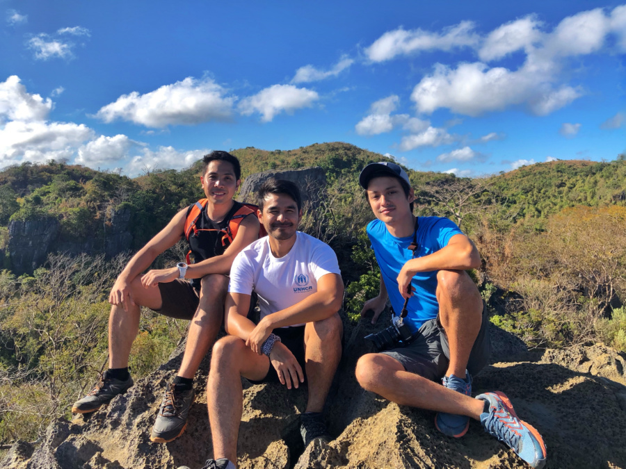
UNHCR launches #StepWithRefugees campaign with Filipino hikers, outdoor lovers

$
0
0

IMG_1784
For mountaineers, movement is a matter of pursuit and pleasure – but for many others it is a matter of escape and hardship. This is particularly true for refugees fleeing violence, persecution, famine, or disaster: the UNHCR – the UN Refugee Agency – estimates that people refugees cover a combined distance of 2 billion kilometres every year just to get out of harm’s way. Despite the fact that this kind of struggle is found around the world, refugee issues are unfortunately marginalized in public discourse.

The “2 Billion Kilometers to Safety campaign” seeks to change this through the symbolic – but meaningful – act of counting the distance one covers in recreational activities like running, hiking, or cycling – and adding it to a worldwide tally that seeks to match the distance refugees travel: the above-mentioned figure of 2 billion kilometres. Aside from showing solidarity with refuges (hence, the hashtag #StepWithRefugees), the campaign seeks to raise public awareness as well as financial resources for refugees around the world.

IMG_1775

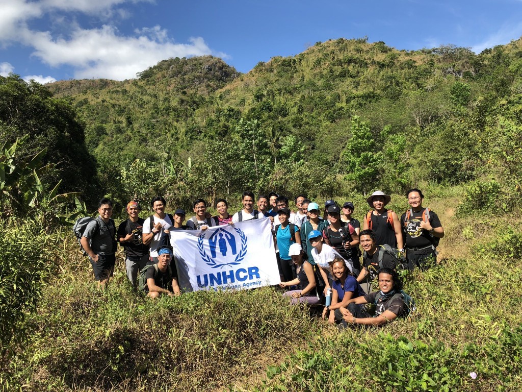
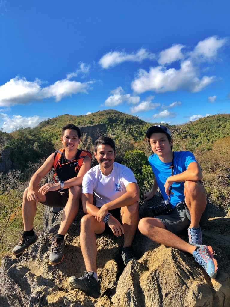
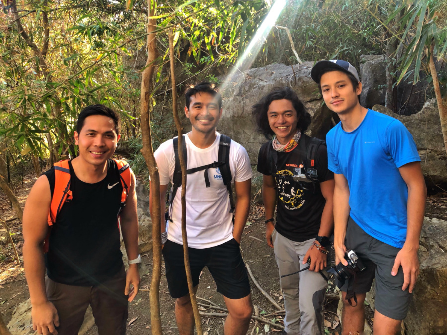
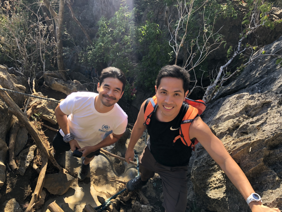
Pinoy Mountaineer joined UNHCR and their outdoor partner, Trail Adventours, as well as bloggers and media reporters in Nagpatong Rock last April 27, 2019 to learn more about this campaign. Atom Araullo, UNHCR Goodwill Ambassador, shared his personal experiences covering refugee communities, stressing that the Philippines, particularly Mindanao, has a lot of internally-displaced persons – making it an important national concern. He adds that the coming decades might see another category – climate refugees – among which many Filipino might be numbered, given our vulnerability as an island nation. The Philippines has a long history of welcoming people seeking refuge in our archipelago – and hopefully the UNHCR campaign both of this past as well as a future for which we must take responsibility.

For more information about the #StepWithRefugees initiative, click this link.

IMG_1761
Pinoy Mountaineer with UNHCR Goodwill Ambassador Atom Araullo, who talked about the importance of raising awareness regarding refugees around the world.

The post UNHCR launches #StepWithRefugees campaign with Filipino hikers, outdoor lovers appeared first on Pinoy Mountaineer.

Hiking matters #617: Amputee climb in Mt. Talamitam

$
0
0


Talamitam20192

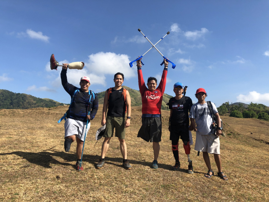
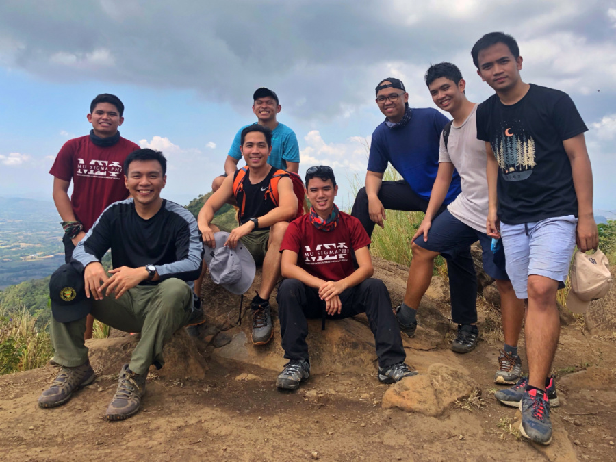
It has been 10 years since the first Amputee Climb in Mt. Batulao  and I am glad that many amputees, and PWDS in general, are discovering the outdoors as a meaningful, enjoyable, empowering place. Alongside Mu Sigma Phi and Physicians for Peace, one of the long-time advocacies of Pinoy Mountaineer has been to make the outdoors an inclusive place, and to help normalize disability by enabling PWDs to climb mountains.

Talamitam20193

Last April 13, 2019, I had the opportunity to hike again with our friends in the Adaptive Climbers of the Philippines (Mon, Al, Alex), as well as my Mu Sigma Phi brods, who have continued the commitment to support this initiative. This time, our destination was not very far from Batulao where it all started: Mt. Talamitam, at 630 MASL an old hiker’s favorite.

Talamitam20191

Hiking Talamitam was a breeze; it eventually got very hot but it was well worth it – especially for Veneranda Mateo and Henry Ballas who were hiking for the first time! Kudos to everyone for your advocacy and dedication. Let’s continue to make the outdoors an inclusive place, and let’s keep trying to normalize disability in all aspects of life!

Talamitam20194

The post Hiking matters #617: Amputee climb in Mt. Talamitam appeared first on Pinoy Mountaineer.

Hiking matters #618: Nagpatong Rock in Tanay, Rizal

$
0
0

IMG_1775
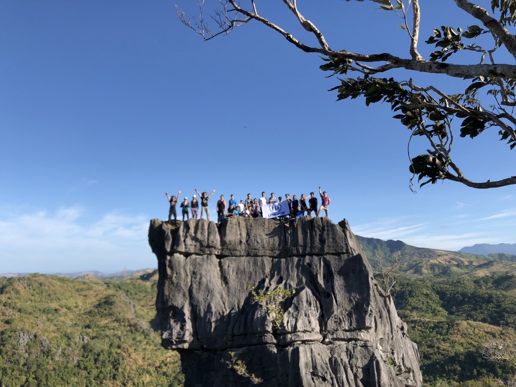
Yet another limestone-filled dayhike in Rizal is Nagpatong Rock in Brgy. Cuyambao, Tanay. This hiking destination is not really a mountain per se but nonetheless is a nice and easy trek, beyond the scenery atop the impressive rock at the end. Last April 27, 2019, I joined UNHCR and Trail Adventours for a hike that aimed to raise awareness about refugees and other displaced persons.

NagpatongRock20193

Leading the hike was Atom Araullo, with whom I had been planning a hike since last year; I was also glad to be reunited with my Visayan Voyage buddies Coby and Guido Sarreal, old hiking buddy Javi Cang, bloggers like Angel Juarez and Ferdz Decena, as well as media and UNHCR representatives.

IMG_1784

The hike was really straightforward and. pleasantly enough, passes through shaded woodland sections – despite some exposed areas. It takes just an hour or even less to reach the ‘base camp’ before climbing up the rock.

NagpatongRock20194

The only inconvenience was queuing up the series of ladders, ropes to climb up ‘Nagpatong Rock’ itself. This can lead to considerable delays especially when hiking on weekends – one has to go up really early, or hike on weekdays. Factoring in the delays, one can get stuck for 30-60 minutes before being allowed to climb up.
NagpatongRock20195

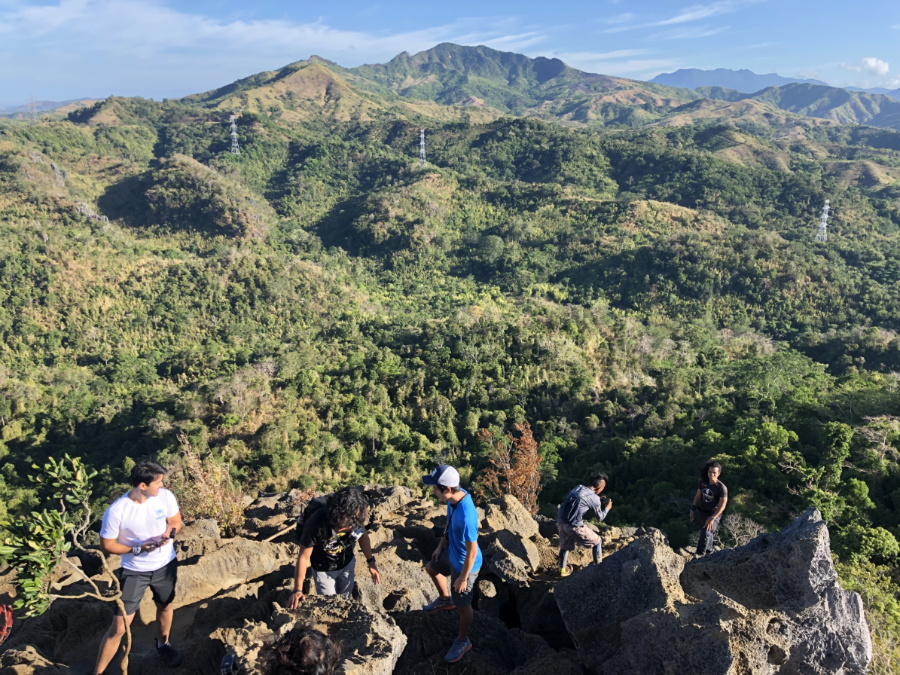
The rock formation, however, is quite rewarding, offering views of the Tanay mountains including Irid and Tukduang Banoi. Hikers who want more considerable latitude gain will be left disappointed, but  I can understand why it’s on the list of people who just want to spend some time with nature. It’s also worth noting that one can continue on to Mt. Masungki as part of a loop hike: it will only take 1.5-2 hours to get to the summit, and around the same time to return to the trailhead – for a longer day.

NagpatongRock20191

Kudos to all the organizers of the hike! Check out Angel Juarez’s post for more information.


NagpatongRock20192

The post Hiking matters #618: Nagpatong Rock in Tanay, Rizal appeared first on Pinoy Mountaineer.

Hiking matters #619: Mt. Ibuki (伊吹山) in Maibara, Japan

$
0
0

MtIbuki20194
OSAKA – As part of my series of birthday hikes I went back to Japan to continue my Hyakumeizan quest. Joining me was Jeion Paguio, a friend I have in common with the Sarreal brothers – and someone I’ve hiked with since 2008 (Mt. Amuyao). The goal was to hike at least two of the Kansai Hyakumeizan and do some sidetrips armed with a JR Kansai pass.
MtIbuki20191
On our first hiking day we took the train to Maibara, where we changed to Ominagaoka; we then to took a bus to the trailhead of Mt. Ibuki. At 1377 meters, this mountain is famous for its dome shape and its heavy snowfall – unfortunately we were too late in the season to catch the last of the snow.

MtIbuki20195

From Ibuki, the hike was actually quite straightforward and as it was Golden Week, there were many hikers along the way. There were numerous switchbacks on the way up, typical of many Japanese mountains. Also typical is the fact that there are different “stations” that allow you to gauge your progress. Overall, it took us around four hours to reach the summit.

MtIbuki20192

The summit was a big and there were a lot of people – owing in large part to the fact that there’s actually a road that cuts the walking time to just 20 minutes for those who don’t want to hike. Of course, we took the long route, and like the Japanese, I don’t have any problem in having an easy and a difficult trail co-existing for different people as long as the mountain is kept clean.
MtIbuki20193

Actual itinerary: 

0730 Shin-Osaka to Maibara, Maibara to Ominagaoka
0834 Ominagaoka
0845 0Bus to trailhead
0901 Trailhead of Mt. Ibuki. Start of trek
1432 Take bus back to Ominagaoka
1448 Back at Ominagaoka
1531 Leave Ominagaoka
1626 ETA Shin-Osaka

The post Hiking matters #619: Mt. Ibuki (伊吹山) in Maibara, Japan appeared first on Pinoy Mountaineer.


Hiking matters #620: Mt. Nosaka (野坂岳) in Fukui, Japan

$
0
0

MtNosaka20191
A day after the hike up Mt. Ibuki we decided to rest and just to visit Kobe and Uji – two places in Kansai famous for beef and matcha, respectively. The following day, however, we resumed our hiking with a relaxing dayhike up Mt. Nosaka ((野坂岳) in Fukui, Japan. Although it’s just 914 MASL, one starts near sea level, making it still a worthy hike. From Shin-Osaka we took a train to Fukui and then took another train to Awano station; from Awano we walked up the road to a campground and then started the hike proper from there.

MtNosaka20194

The hike was thoroughly pleasant; the trail was well established and there were no real difficulties as we hiked up a beautiful forest of beeches and other interesting trees (there were some leftover sakura). As we ascended, Lake Biwa came into view with the surrounding mountains.

MtNosaka20195\

Three smaller peaks presaged our arrival at the summit proper, which offered nice views of the Hira Mountains as well as Mt. Ibuki itself and its distinctive dome shape. Although it lacks the grandeur of many of the Hyakumeizan, Mt. Nosaka turned out to be a worthy stop – especially if you’re already in the area.

MtNosaka20192

MtNosaka20193

The post Hiking matters #620: Mt. Nosaka (野坂岳) in Fukui, Japan appeared first on Pinoy Mountaineer.

Hiking matters #621: Mt. Odaigahara (大台ヶ原山) – my 25th Hyakumeizan

$
0
0

IMG_2153   =

After doing Mt. Ibuki and Mt. Nosaka, we proceeded to the highlight of the trip – a hike up Mt. Odaigahara (大台ヶ原山) at the border of Mie and Nara prefectures. At 1695 MASL it is not as high as the mountains of the Japanese Alps but it is majestic in its own right, earning the distinction of being part of a  UNESCO Man and the Biosphere Reserve.

Odaigahara6
Odaigahara is an easy hike but poses some logistical challenges for public transport: the once or twice-daily bus runs only on certain months-  and one must take a Kintetsu train from Osaka’s Abenobashi station prior to boarding the bus. But once there, the rewards are abundantly clear.

Odaigahara4

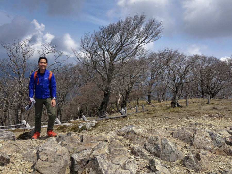
Passing through the Uemichi path and its gentle ascent, we first headed to the main peak – Hidegatake – 1695 meters above sea level. As this is the summit of Odaigahara, my arrival there marked the completion of my 25th Hyakumeizan – one quarter of the 100 Famous Mountains of Japan!

Odaigahara8

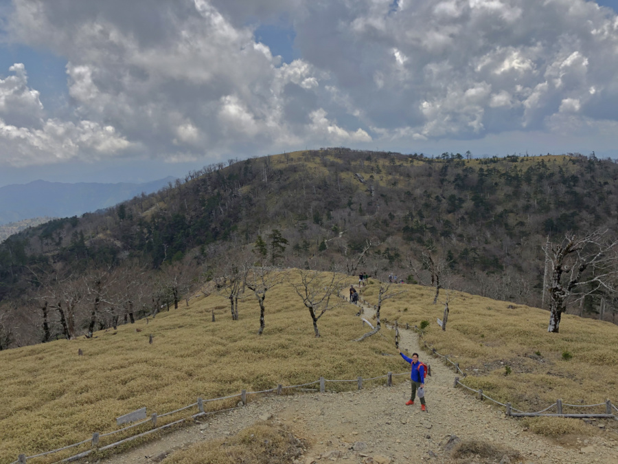
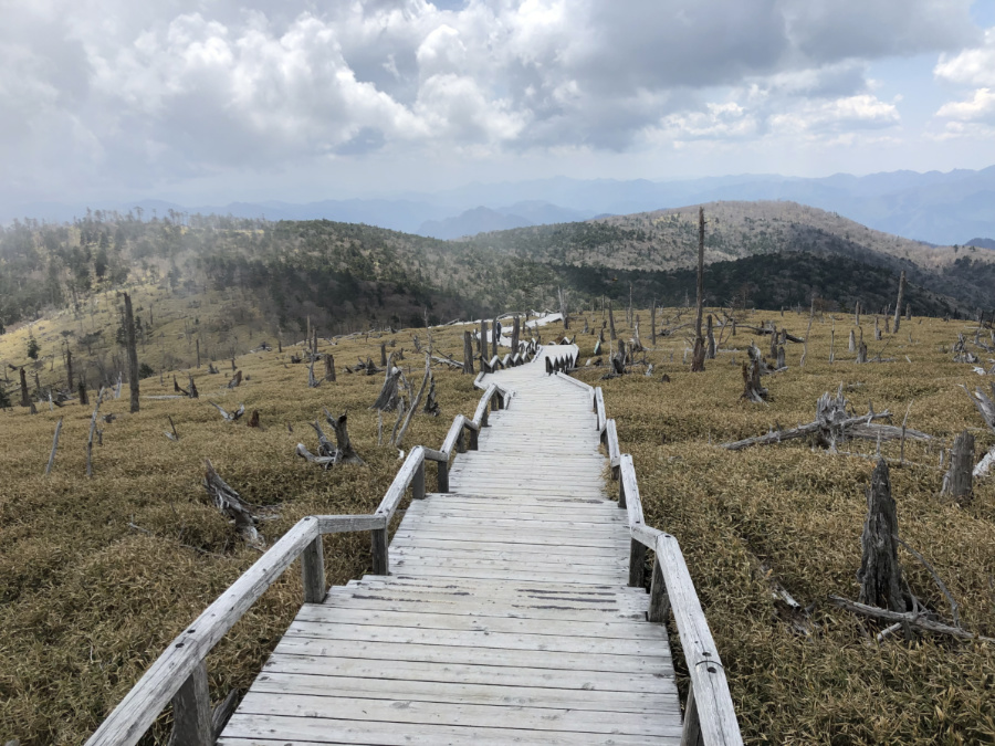
From Hidegatake, we passed through the dwarf bamboo, as well as the blighted spruce and cypress trees of Masakitoge and Masakigahara. This is a very scenic part – I don’t mind hiking endlessly in such a beautiful scene!
Odaigahara3

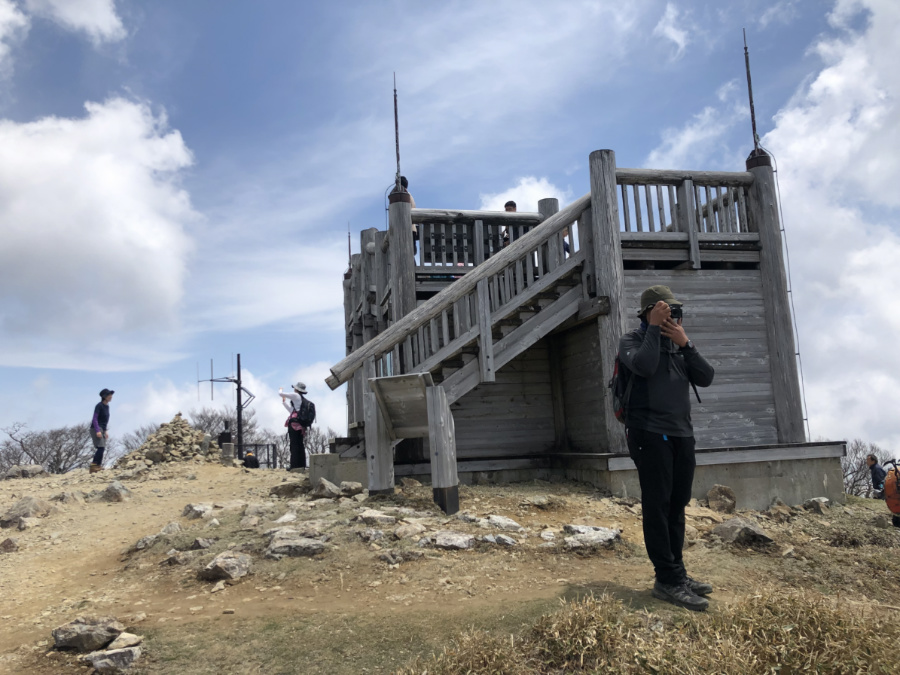
As one final highlight we visited Daijakura Rock, a cliff-like viewpoint. From that point we took the longer route back to the parking lot, making it in time for the 1430H bus – but because it was Golden Week and there were so many people we had to wait for the next bus.

Odaigahara5

Odaigahara is a very easy hike and even with the extended course and numerous stops we managed to compete the trek in less than 4 hours – the travel time took longer than the hike itself. But it lives up to my expectation of the Hyakumeizan – and makes me more excited to pursue more of the 100, hopefully in the coming summer! Thank you Jeion Paguio, Tokyo-based Filipino hiker, for joining me in the three hikes!

Odaigahara1

Actual itinerary
0709 Shin-Osaka to Yamatokamiichi via Tennoji, Osakaabenobashi
0851 ETA Yamatokamiichi
0900 Kamiichi Bus stop no. 1 -> Odaigahara
1051 ETA Odaigahara. Start trek
1430 Finish proper.
1530 ETD Odaigahara
1721 Back at Yamatokamiichi.
1738 take train to Osaka
1920 ETA Shin-Osaka

The post Hiking matters #621: Mt. Odaigahara (大台ヶ原山) – my 25th Hyakumeizan appeared first on Pinoy Mountaineer.

Hiking matters #622: The 26-km Mt. Ugo dayhike via Tinongdan

$
0
0

UgoDayhike20196
BAGUIO CITY – One of my favourite Cordillera hikes is none other than Mt. Ugo – I have climbed this mountain at least six times from 2008 onwards; the memorable ones include the Ugo-Pulag traverse in 2013 and an Ugo traverse dayhike in 2015. It’s been four years since that latter hike and it’s only now that I managed to find the chance to go back and do it again, this time as another dayhike but to and from Brgy. Tinongdan in Itogon. For this latest Ugo dayhike, I was joined by good friends Coby, Daryl, and Christine.

UgoDayhike20191

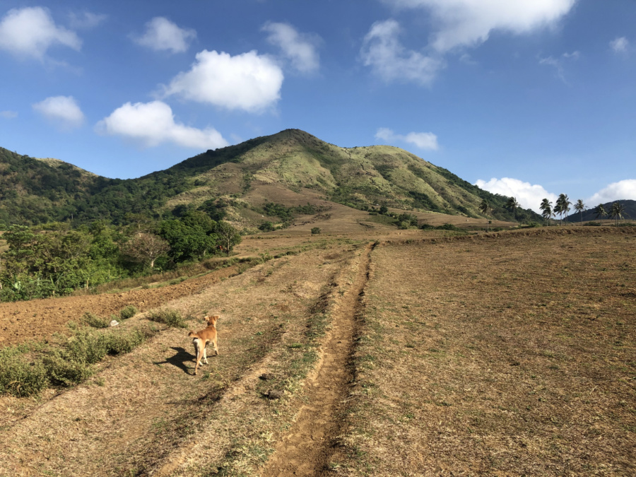
Fortunately, we had great weather all the way up – and auspiciously, we were welcomed by a furry dog in Lusod village. It’s always refreshing to see animals in or along the trail, and “Chewy” tried to join us but to his (and our) disappointment, he was forbidden to do so by the local folks!

UgoDayhike20192

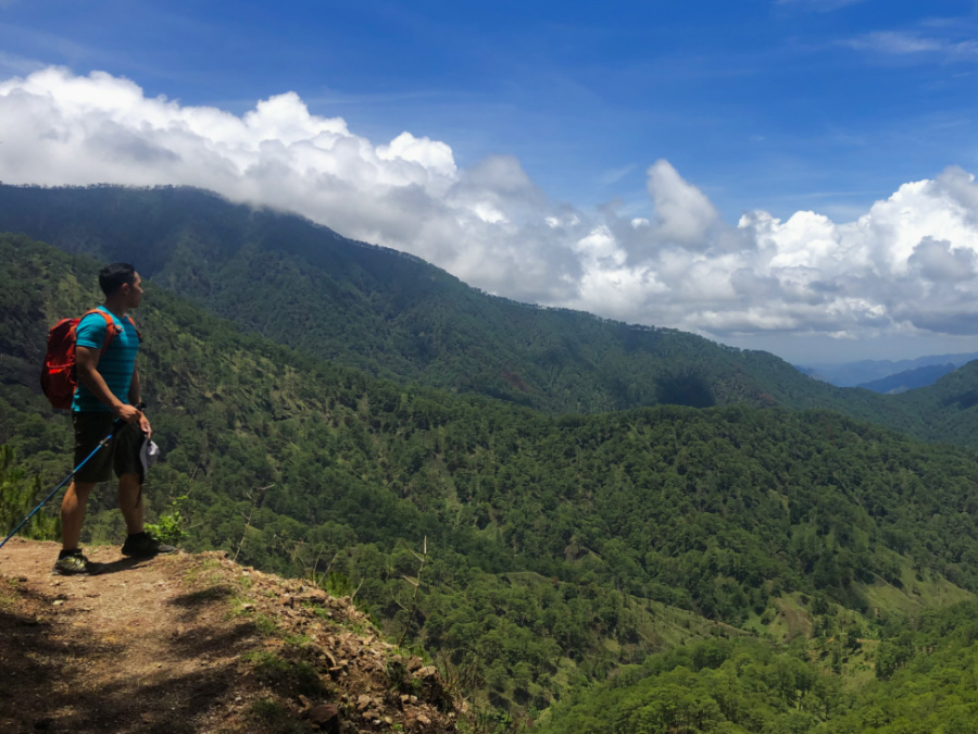
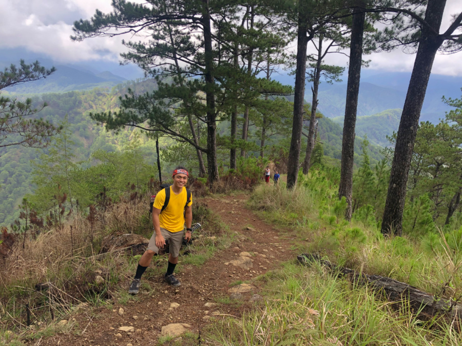
Unlike the Kayapa trail that is now accessible by habal-habal for the most part, the Tinongdan trail has retained its original glory and we were hiking through pine forests – with scenic views – throughout much of the ascent to the summit. The only change is that vehicles can now reach Km. 3 of the trail running signposts from the barangay hall; even so, the hike still involved around 13 kilometres each way. With a 1400-meter attitude gain, the ascent is comparable to Pulag via Akiki.

UgoDayhike20197

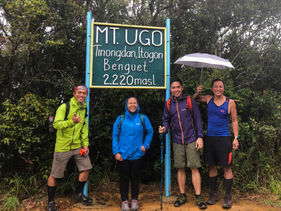
Thankfully we had great conversations along the way, leading me to conclude, and later post, that “laughter is the best trail food”. Bar a trio of hikers who were descending, we had the trail to ourselves – another bonus of going to Ugo instead of the more popular Cordillera trails. After 7.5 hours of hiking we were all at the summit of Mt. Ugo, which now had a marker that says 2220 MASL: I dispute this reading; based on multiple and independent sources the elevation of Ugo is closer to 2160 meters.

UgoDayhike20195

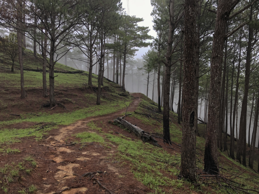
Rainfall at the summit signalled to us that it was time to descend, and so we traced our path which this time around had turned into a stream. Thankfully, the heavy rains did not last and in its stead was a beautiful mist that enveloped the pine forest. What a great Ugo dayhike! Although prices have gone up (there’s now a P200 registration fee, plus P1000 guide fee), Mt. Ugo remains a hiker’s paradise and I wish it would stay that way for many years to come.

UgoDayhike20193

The post Hiking matters #622: The 26-km Mt. Ugo dayhike via Tinongdan appeared first on Pinoy Mountaineer.

Hiking matters #623: Mt. Zao (蔵王山) in Yamagata

$
0
0

IMG_3223
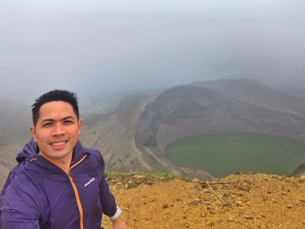
TOKYO – My annual summer hiking in Japan resumes, even as I may have arrived too early, with the plum rains still affecting many parts of Kyushu and Honshu. Fortunately, with a JR Pass I can cover great distances and with the Tohoku region mostly cloudy – at least not rainy – I decided to do a couple of Tohoku hikes to commence this trip. The first destination – staged from Tokyo – was Mt. Zao (蔵王山), famous for its volcanic craters and hot springs. And of course, it’s a Hyakumeizan – my #26!

IMG_3147

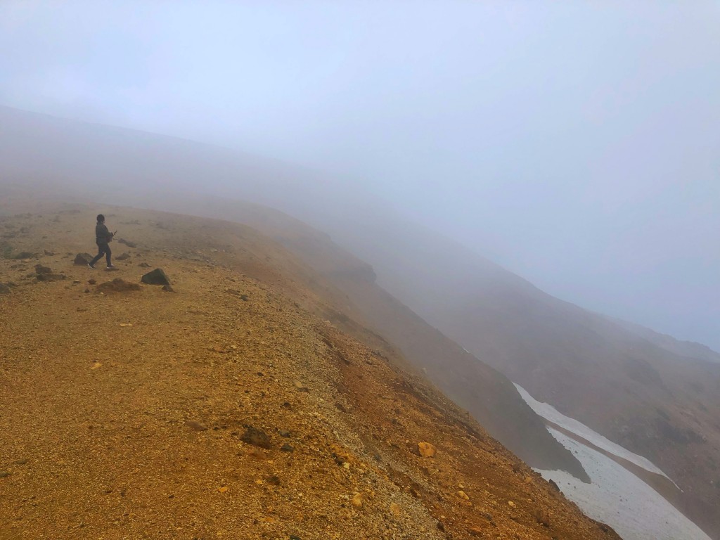
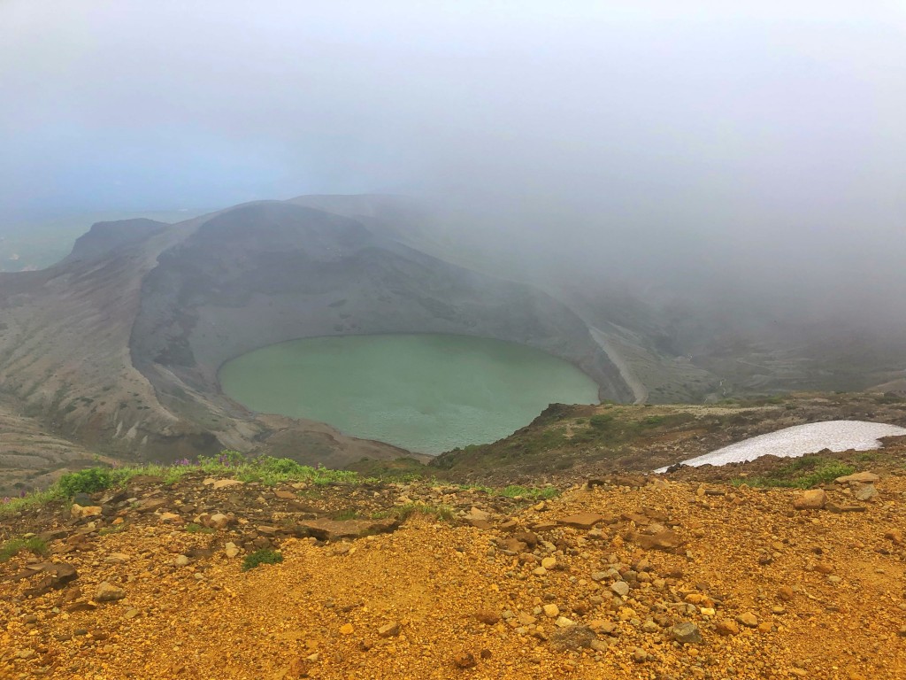
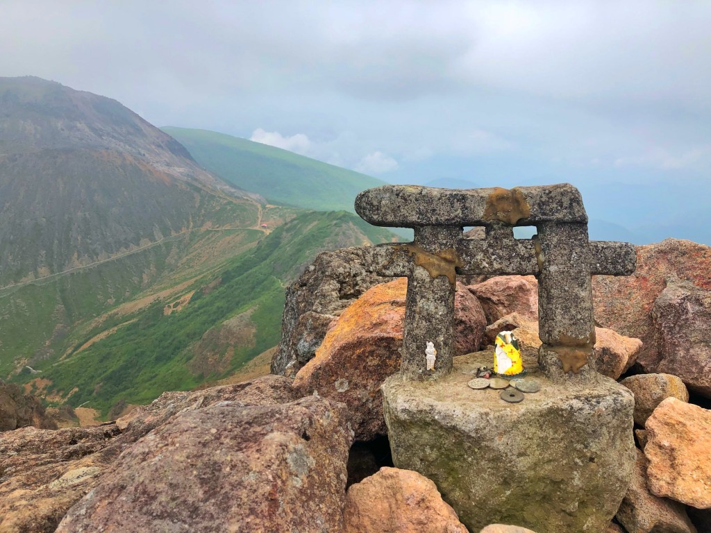
From Ueno I took the Yamagata Shinkansen all the way to Yamagata, and then a bus to Zao Onsen. Not having hiked a long time and pressed for time as is always the case with my Japan dayhikes, I took the ropeway to Jizo Sancho Station, and started the hike from there. The trail was mostly rolling and flat, and true to forecast it was very cloudy. Fortunately, however, after 45 minutes or so of hiking the skies cleared out just a bit for me to see the famous Okama lake.

IMG_3168

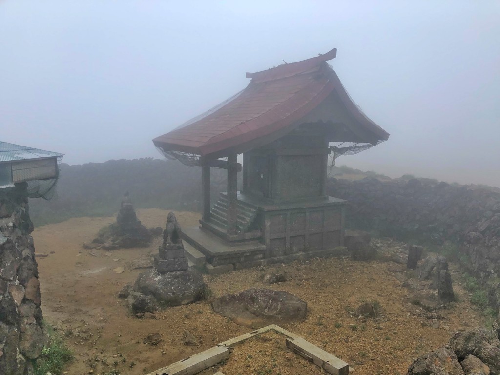
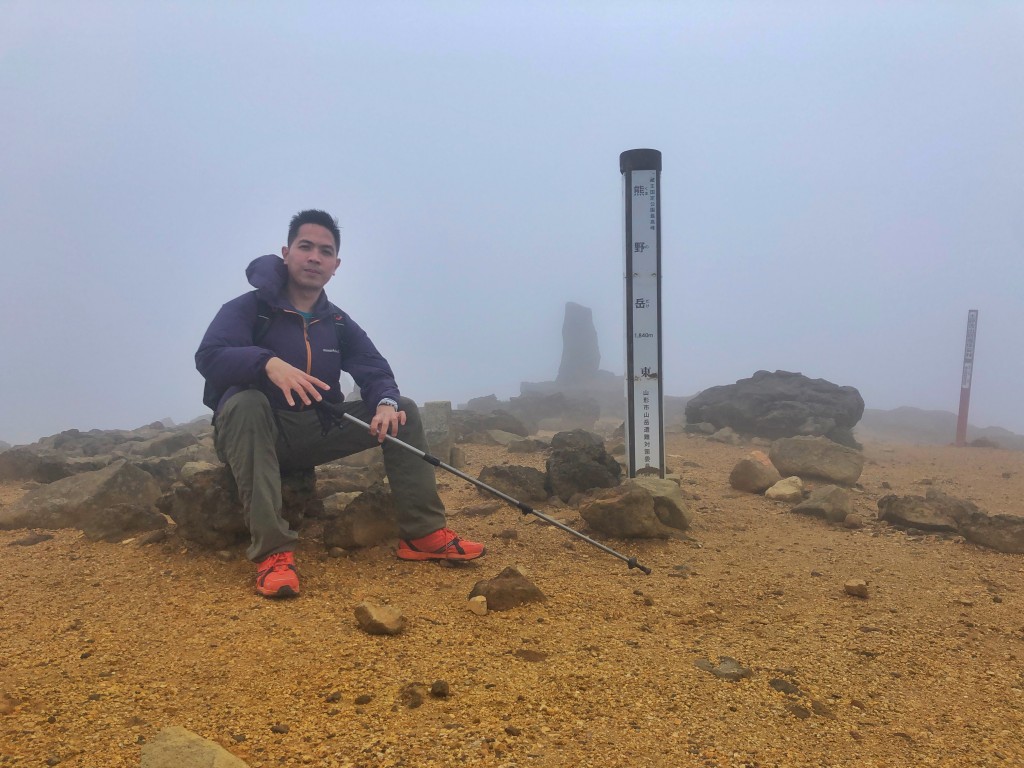
From this stage, the summit was just 30 minutes away and I arrived to see it foggy – yet still revealing the shrine and the summit marker – 1841 MASL. On the way back I followed the ridge part of the way to Okama in the hopes of seeing more of the volcanic landscape that characterizes this destination.

IMG_3143

IMG_3137

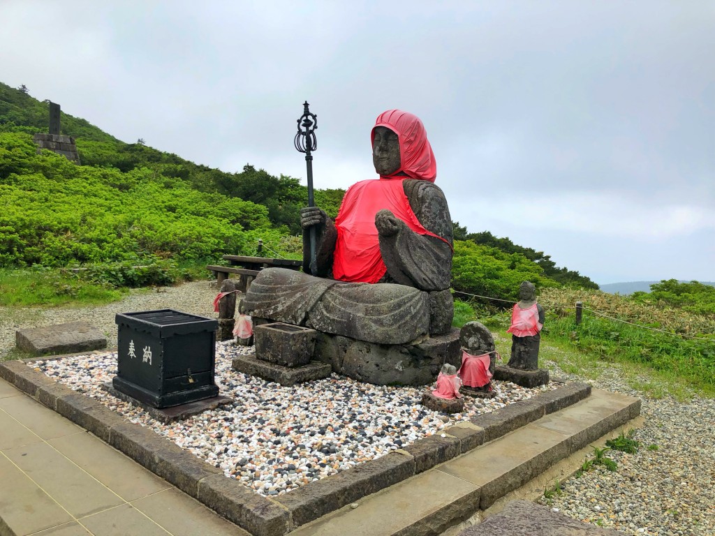
On the way back I took my time, visiting the Jizo – a representation of Buddha – near the ropeway station and then enjoying the edamame shake (Zundo Saryo) back in Yamagata Station. Really happy to have been able to pull off a hike while staying dry – to start things off this month!

IMG_3253

The post Hiking matters #623: Mt. Zao (蔵王山) in Yamagata appeared first on Pinoy Mountaineer.

Hiking matters #624: Mt. Nasu (那須岳) in Tochigi Prefecture, Japan

$
0
0

IMG_3401
TOKYO – Encouraged by my successful Mt. Zao hike, I decided to climb Mt. Nasu (那須岳) in Tochigi Prefecture, Japan the following day, once again taking the shinkansen this time to Nasushiobara (那須塩原駅) station and then taking a bus to  Nasudake-sanroku (那須岳山麓).  At 1917 MASL, Nasu-dake would be my 27th Hyakumeizan and my first time to return to the region after spending a weekend in Nikko way back in 2008!

IMG_3281

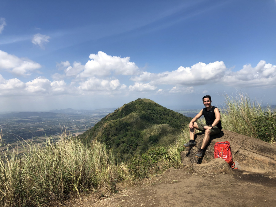
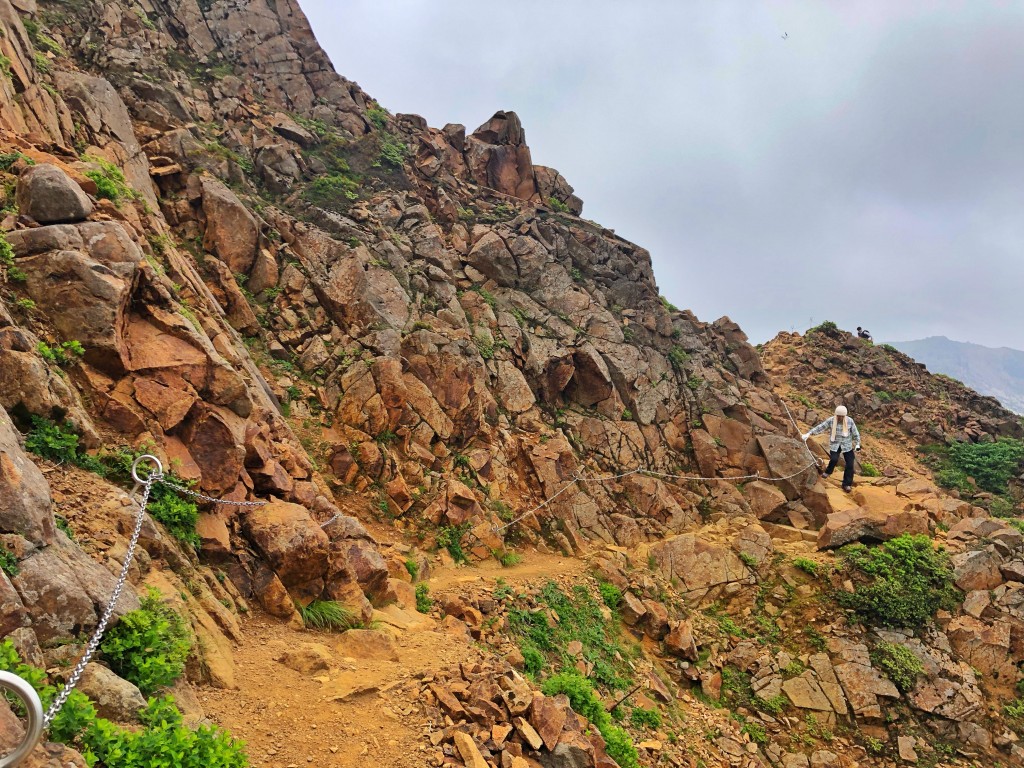
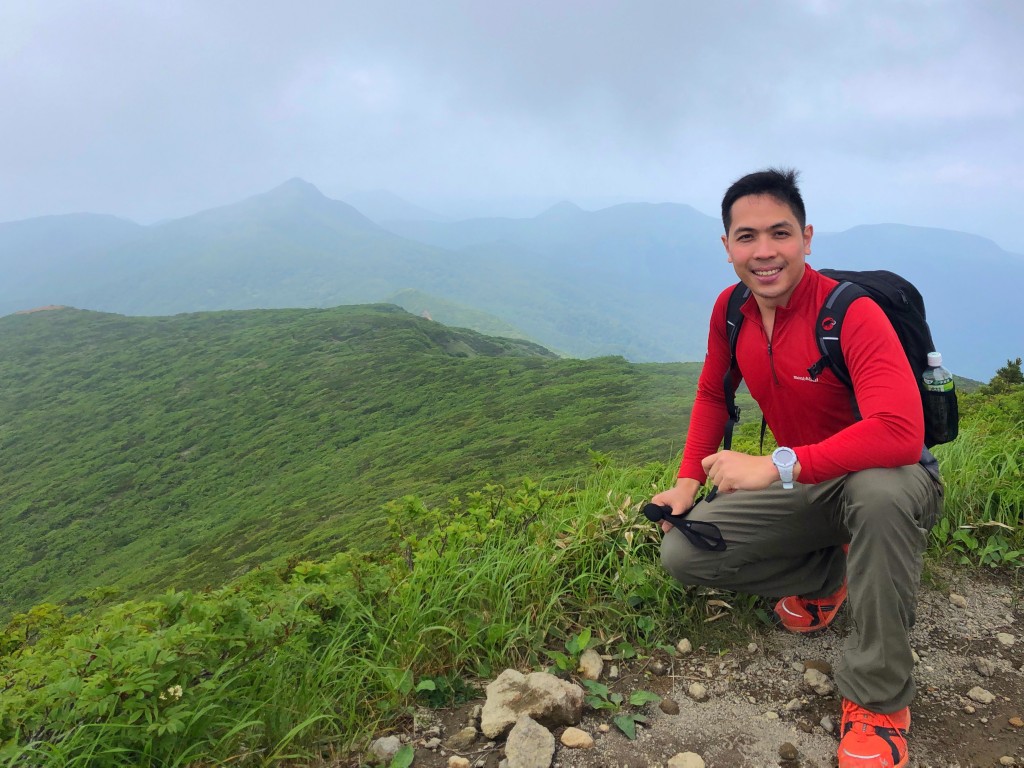
From the trailhead I took the ropeway to Sancho Station, and proceeded with the hike immediately. At first, it was quite easy, but had some parts that earn for it the classification of “intermediate”. Indeed, there were roped segments as I tried to negotiate peak after peak. While reaching the popular Mt. Chausu would have been easy, my goal is the highest point – Mt. Sanbonyari – even if the elevation difference is just 2 meters! To manage the hike, I circumvented the peak of Chausu and went straight to Mt. Asahi via Mineno-chaya Hinangoya.

IMG_3395

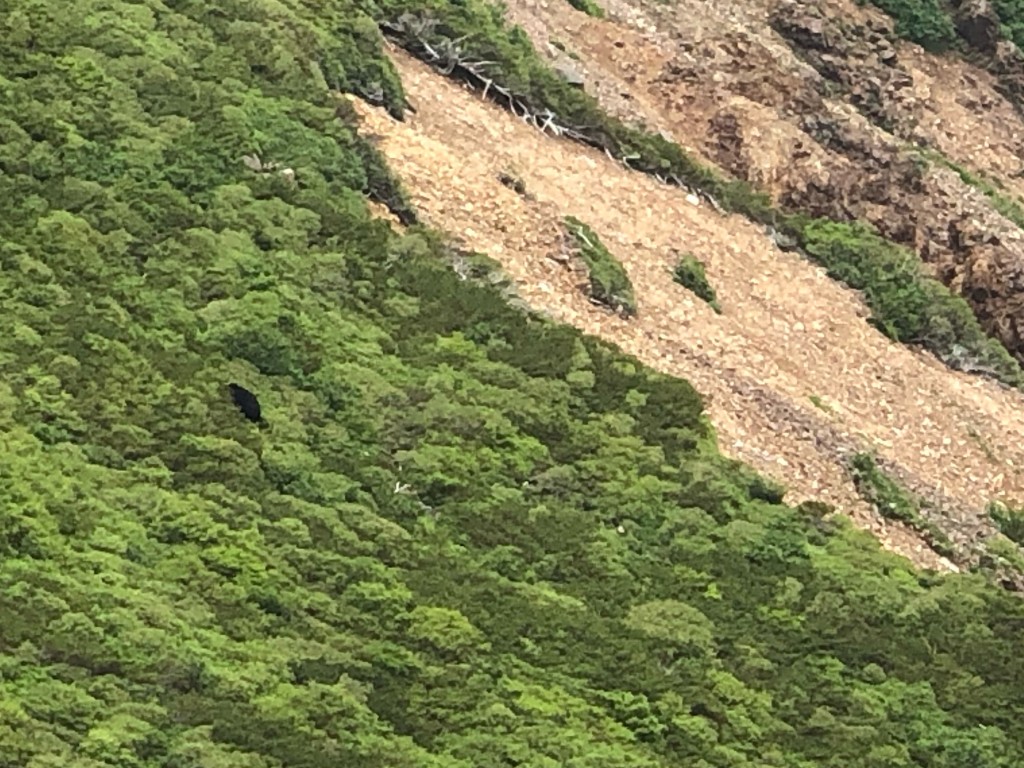
From Mt. Asahi, I descended and continued onwards to Sanbonyari, taking another 60-70 minutes. To my great delight, along the way, I witnessed a Japanese black bear in the alpine forest! Check out this link for this video: IMG_3407

IMG_3413

The bear sighting gave me renewed energy for the final push to Sanbonyari, and by around 1300H I was at the summit – enjoying the view of the Tochigi mountains. From the summit, I took a different trail to descend to Kita Onsen, a hot spring that is over 1200 years old! This obscure trail, to my delight, was actually quite gradual and pleasant – definitely much easier than the ridgeline trek back to Sancho Station. Whenever I hike in Japan I always look forward to an onsen bath afterwards, and Kita Onsen delivers! I caught the 1640H bus back to  Nasushiobara and was back in Ueno for another kaitenzushi dinner!

IMG_3500

The post Hiking matters #624: Mt. Nasu (那須岳) in Tochigi Prefecture, Japan appeared first on Pinoy Mountaineer.

Viewing all 610 articles
Browse latest View live